Blog


Beth

Blog

June 24 – June 30, 2024 – Portsmouth, VA to Chesapeake City, MD

Highlights this week: Getting back to HOMES after a quick trip home; ANOTHER sheared off bolt on the port engine; crossing into Maryland, under LESS than ideal conditions; and, stops at Solomons Island and Annapolis, MD.

Thursday, June 27, 2024 – Portsmouth, VA (Ocean Yacht Marina) to near Ditchley, VA (Dividing Creek-Ditchley Cove – Huglett Point Natural Area Preserve)
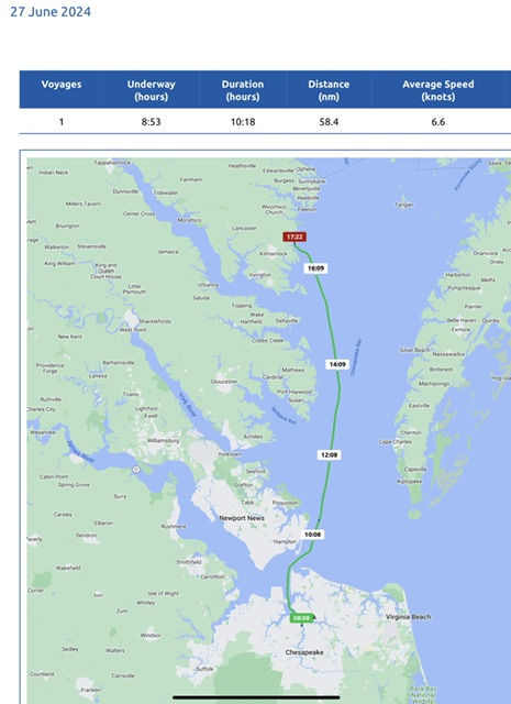
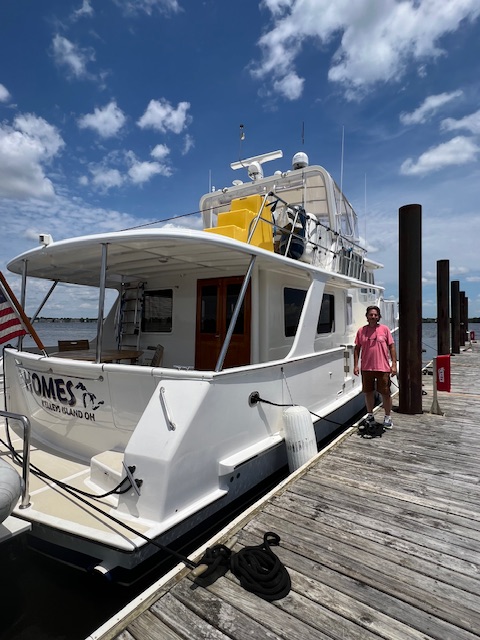
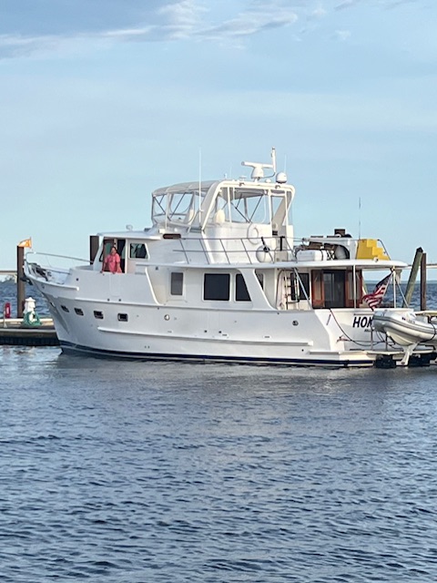
We are glad to be cruising again! We arrived in Portsmouth, VA on June 11th. We are now on our quest to get to Philadelphia, PA for our reservations over the 4th of July. Today, we were underway 8 hours and 53 minutes, going 67 miles (58.4 nm), at an average speed of 7.6 MPH (6.6 knots).

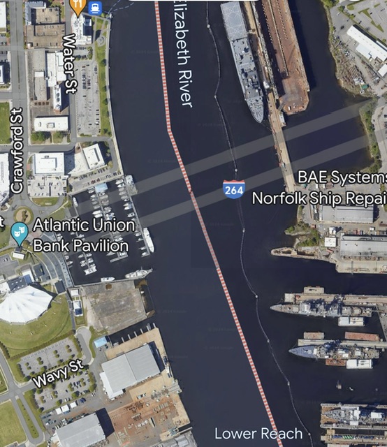
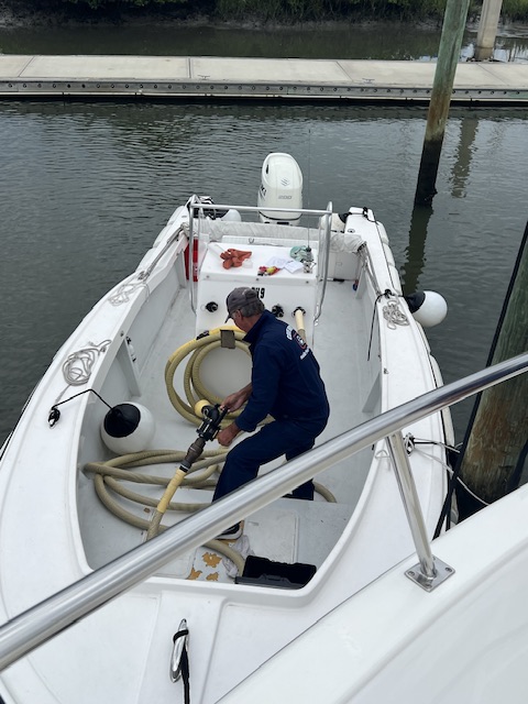
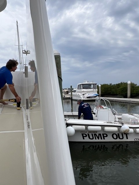
After pulling out of our slip, we pulled up to Ocean Yacht Marina’s fuel dock to use the waste tank pump. Once our waste tank was empty, we headed back out on the Elizabeth River. This river is an arm of the Chesapeake Bay and runs between Portsmouth and Norfolk. The Elizabeth River was once named the Chesapeake River for the name of the Native Americas who once lived on its banks.

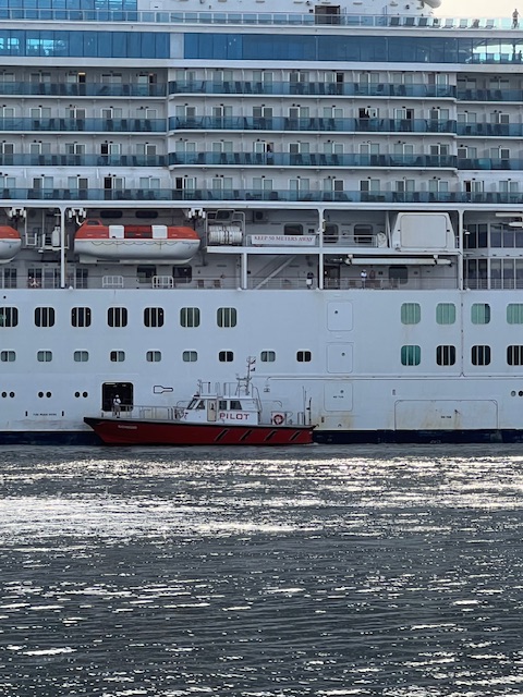
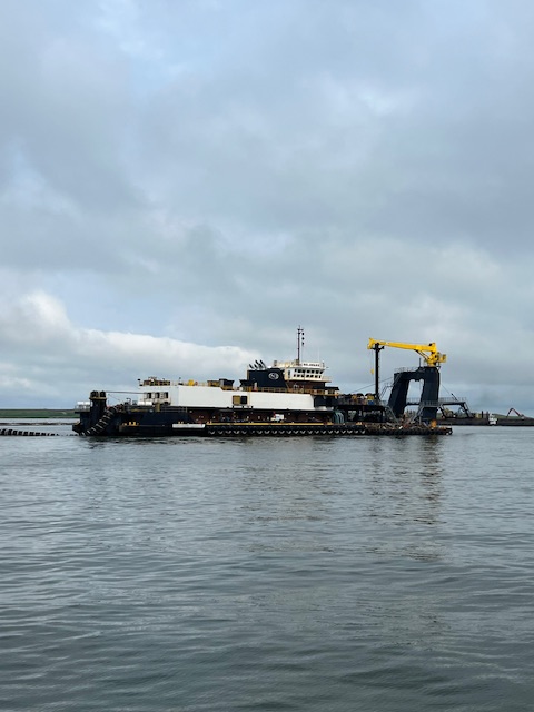
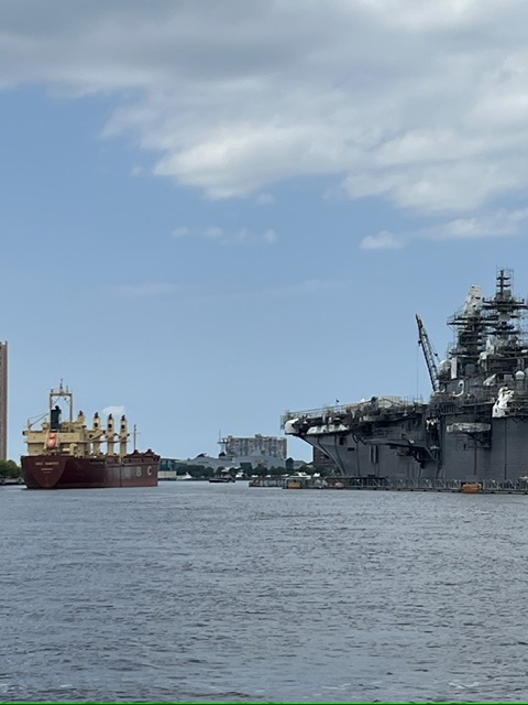
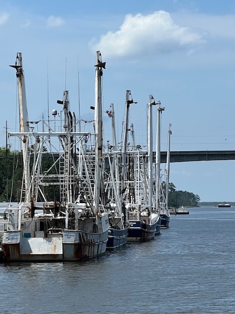
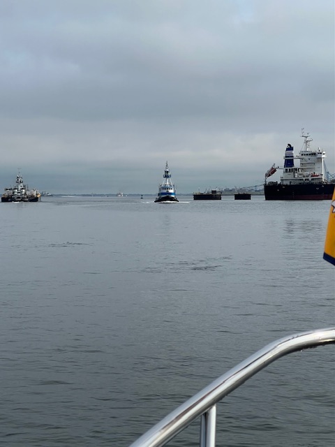
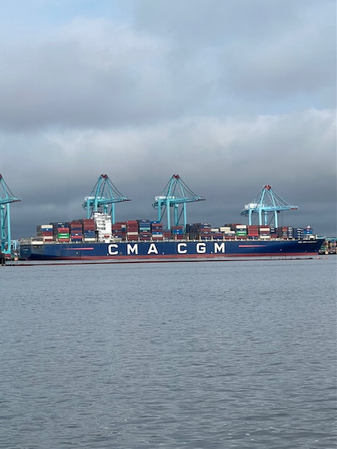
The banks of the Elizabeth River are now lined with ships serving industries and the Navy. We shared the water with freighters and tows pushing barges. We also got to see a cruise ship being tied up in Norfolk, with the help of tug boats and a pilot boat. The pilot boat would have met the cruise ship out in the Chesapeake Bay and delivered a “pilot” who is familiar with the waterway. That pilot would then have taken over the helm and docked the cruise ship in Norfolk. We saw the pilot getting picked back up.
Once through Norfolk, the Elizabeth River empties into the James River. We turned right on the James River, with the Norfolk Naval Station on our right. If we had turned left on the James River, we could have visited Jamestown, VA. Founded in 1607, Jamestown was England’s first permanent settlement in North America, in what they called the Virginia Colony. The river and settlement were named after their king, King James I. The settlement endured, despite disease, famine and sporadic attacks from the neighboring Powhatan Native Americans. The settlers finally had some years of prosperity after the 1614 wedding of Pocahontas, the favored daughter of Chief Powhatan, to John Rolfe, a tobacco grower. The Rolfes had one son and travelled to London to showcase a “civilized savage,” to promote investment in Jamestown. Pocahontas became popular in English society. Unfortunately, she died in England of unknown causes in 1617, before her scheduled trip back to Virginia. She was only about 21 years old.
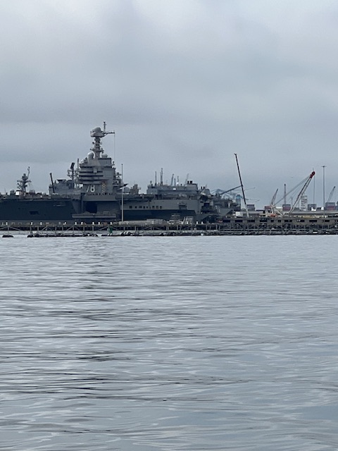
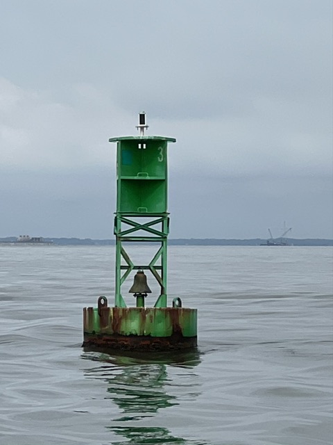
After turning right on the James River, we cruised over the I-64 tunnels, which were 108 feet below us. We drove our rental car through the southbound tunnel on our drive back to HOMES. We also drove our rental car under HOMES, through the I-264 tunnel from Downtown Norfolk to Portsmouth. HOMES sat on top of the Downtown tunnel during our stay in Portsmouth. There are four underwater tunnels in the Norfolk area. The Downtown underwater tunnel was the first in Virginia, opening in 1952.
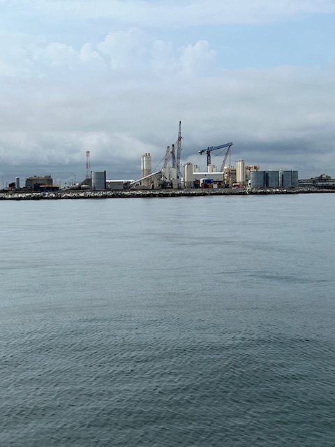
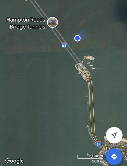
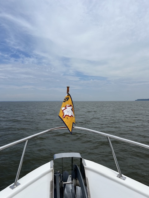
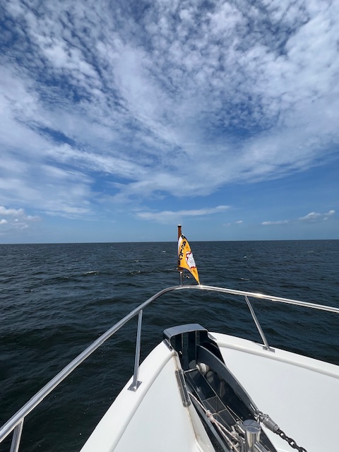
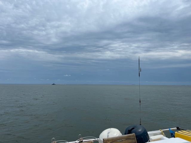
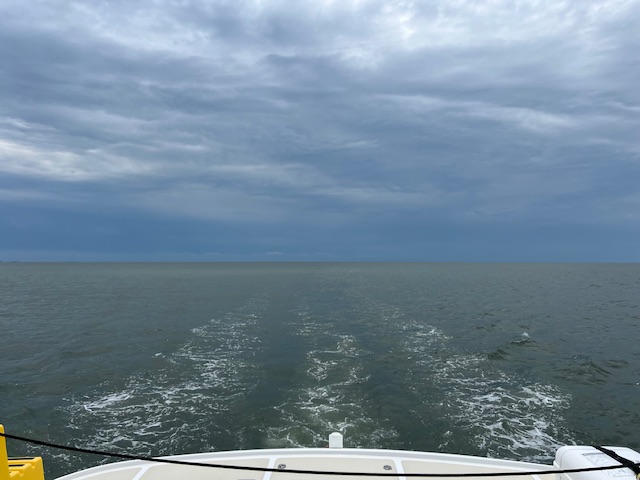
After cruising over the I-64 tunnels, we emerged out onto the Chesapeake Bay and turned left – since turning right would have taken us out into the Atlantic Ocean. The Chesapeake Bay is about 200 miles long, varying in widths between 3.4 miles (at the top) and 35 miles (near the Potomac River). The deepest part is 174-feet deep. Its water is brackish – a mix of saltwater from the Atlantic Ocean and fresh water from the 150 major rivers and 100,000 tributaries that make up the watershed that stretches about 524 miles from Cooperstown, NY to Norfolk, VA. The Chesapeake Bay is the United States’ largest estuary, which by definition is a partially enclosed body of water where fresh water from rivers and streams mixes with salt water from the ocean. The Chesapeake is known for its seafood, especially blue crabs, clams and oysters. With Tim’s shellfish allergy, we will not be partaking in any of those!
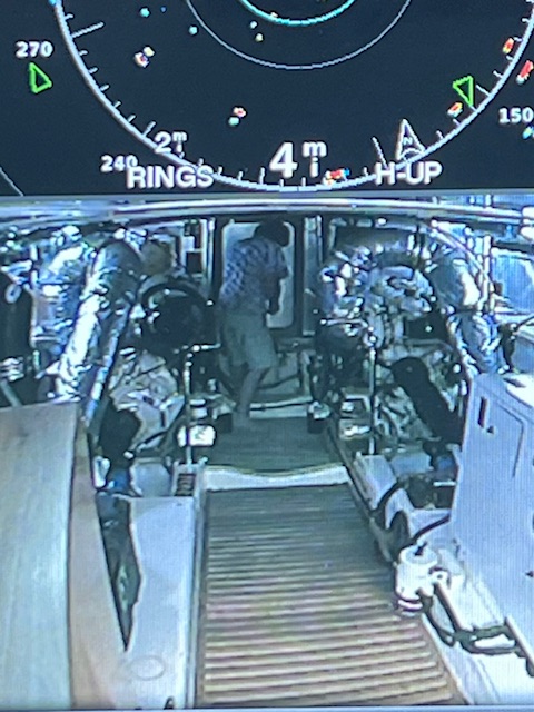
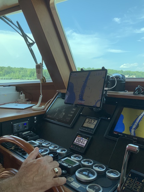
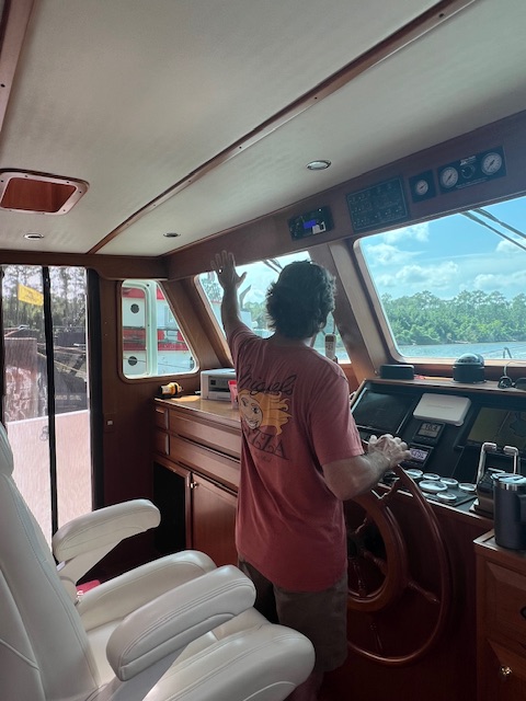
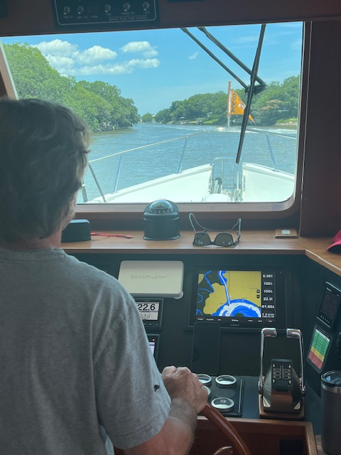
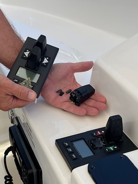
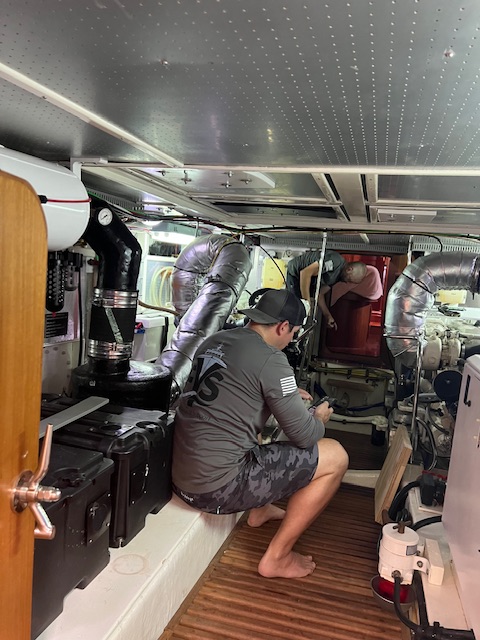
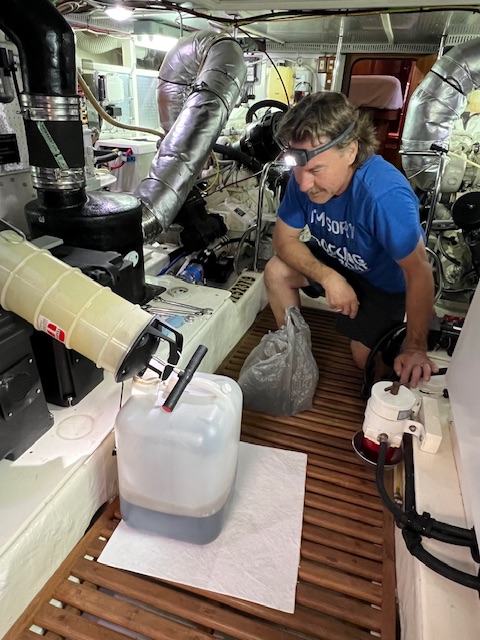
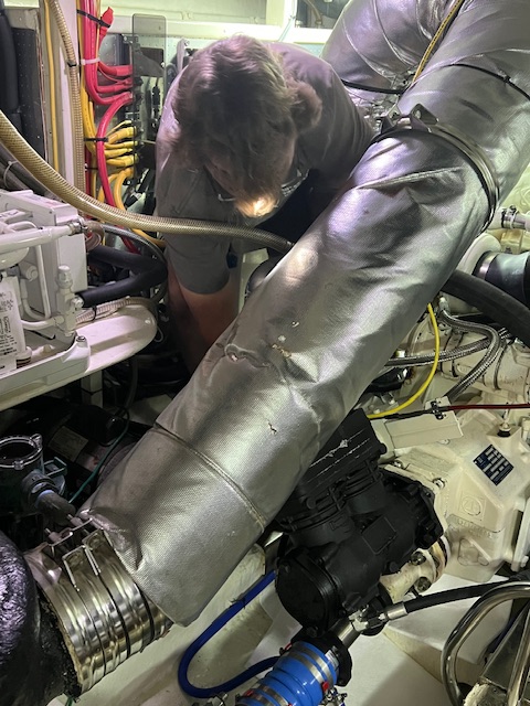
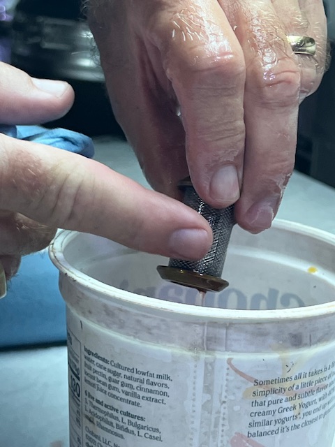
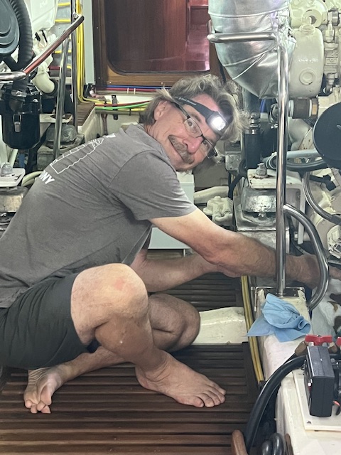
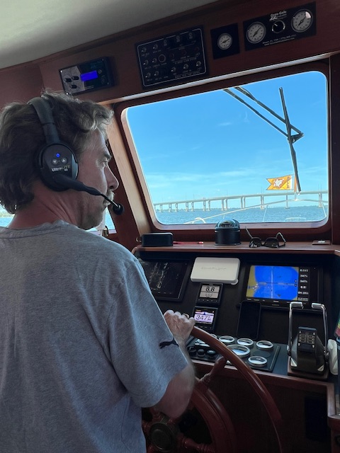
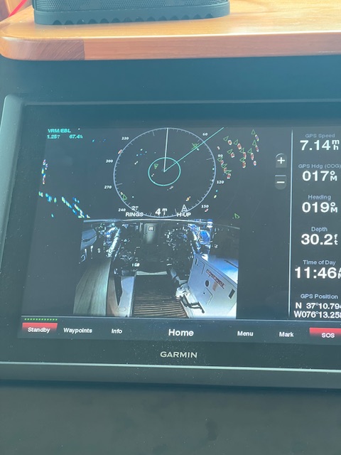
At this point, our morning became more interesting. Something didn’t sound right, so Tim went to investigative in the engine room. He quickly came running back up and switched off the port engine. The bolt had sheared off AGAIN and water had been gushing into the engine room. He quickly adjusted the starboard engine so we could continue on our path. After about 20 minutes, the port engine had cooled enough for Tim to make the fix. I took over the helm, while Tim removed the half of the bolt that was still stuck in the cam and then installed the new bolt. We bought new bolts when we were home and Tim had thought about putting in a new bolt, since the replacement bolt that he used last time wasn’t new. Well, the bolt is new now, and it only took about 40 minutes from discovery to being fixed. For the rest of the day, we had the engine room camera displayed on the control panel.
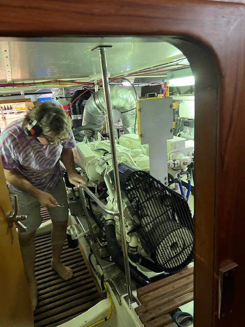
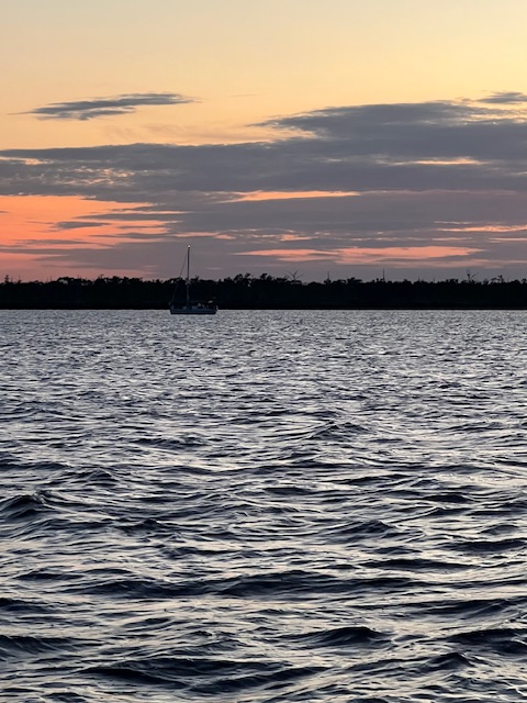
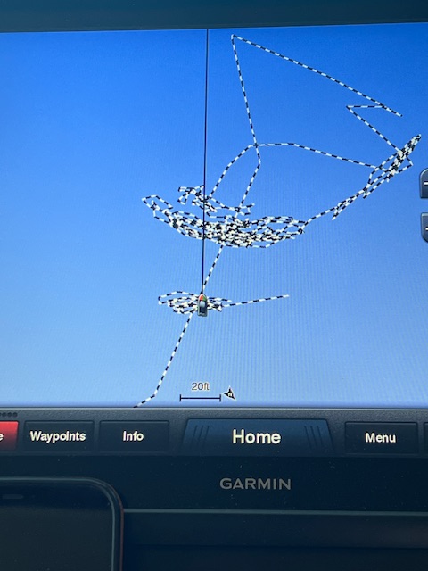
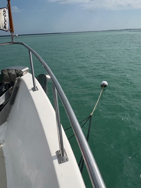
After the fix, Tim turned the port engine back on, readjusted the RPMs of the starboard engine and we resumed our normal speed. My time at the helm was uneventful, only having to alter our course a few degrees left and right to avoid pleasure fishing boats. We arrived at our anchorage around 5:00 PM. We opted to go a little further today, since the weather was nice. However, our long day was extended a little longer because it took us two times to set the anchor. After the first try, Tim thought our placement was too close to the channel.
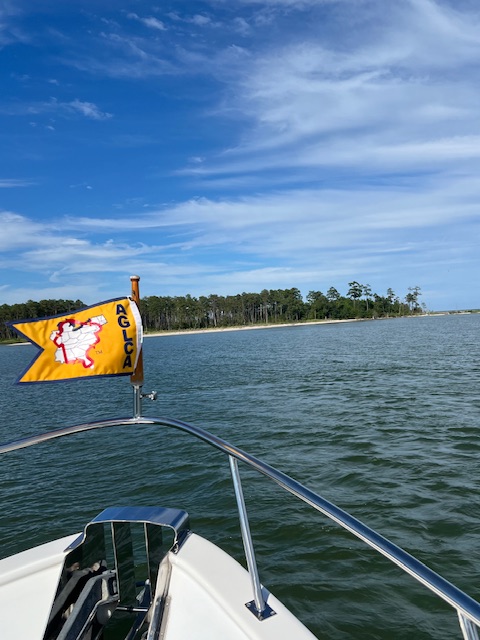
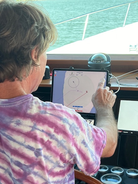
Friday, June 28. 2024 – Ditchley, VA (Dividing Creek-Ditchley Cove – Huglett Point Natural Area Preserve) to Solomons Island (Solomons Island Yacht Club)
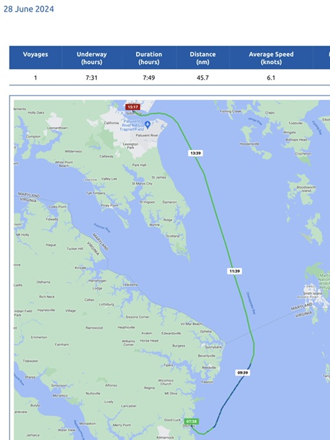
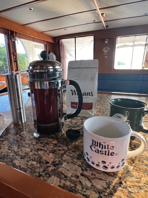
We woke to being rocked with the waves. The wave action continued to increase, making morning coffee preparations a little tricky and foreshadowing the first half of our journey. Today, we were underway 7 hours and 31 minutes, going 53 miles (45.7 nm), at an average speed of 7 MPH (6.1 knots).

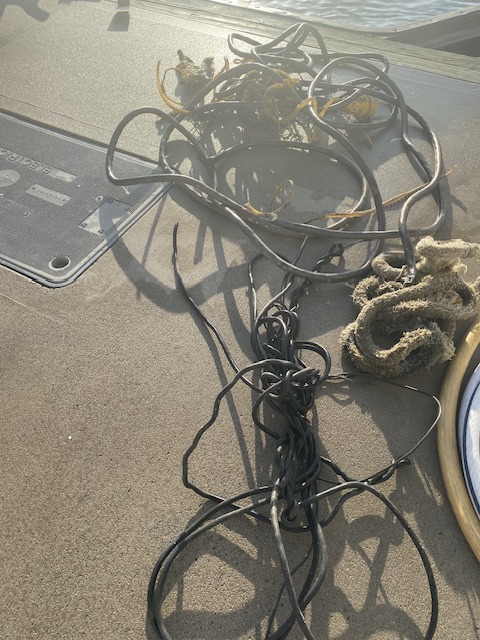
Around 7:30 AM, we pulled up our anchor. It wasn’t too muddy, but I had to pull off a wire that had gotten wrapped around our anchor. I didn’t take the time to do my usual wash down of the deck because the waves were making it hard to stand. So, I stumbled back inside the helm, holding on as went along. The weather had called for 1-3 feet waves. We didn’t see anything smaller than a 3-foot wave for the next 3-1/2 hours! Most of the waves were 5-7 feet, with an occasional 8-footer spraying the windshield and coming in the open helm door.
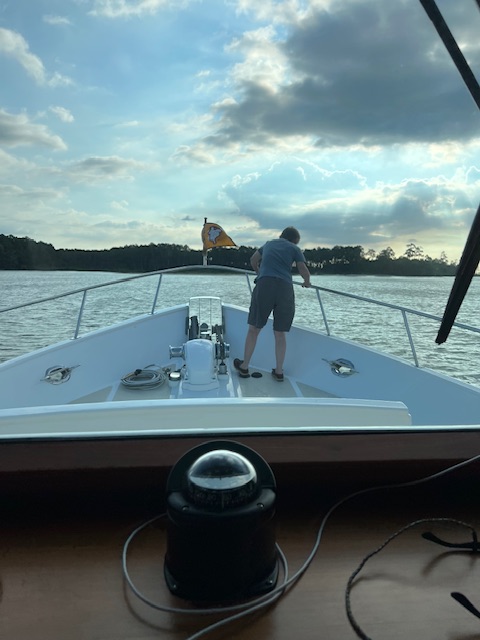
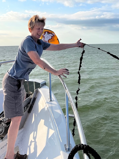
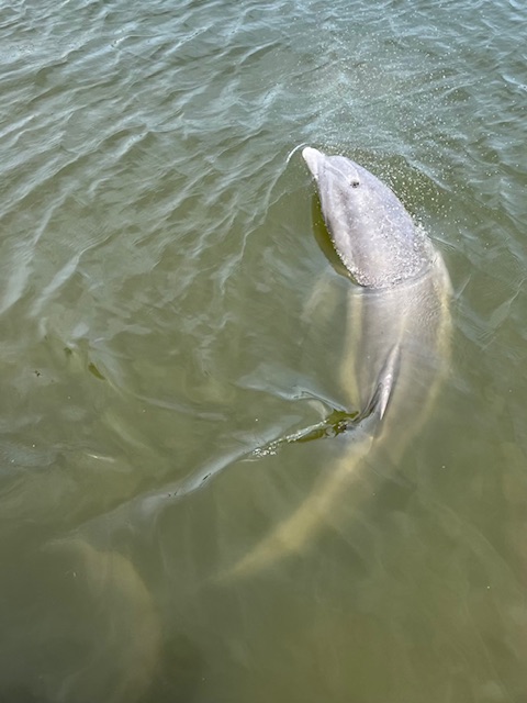
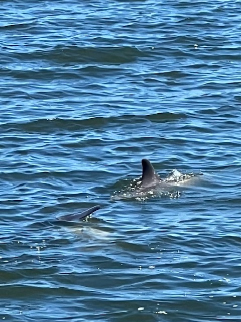
Happily, I did not get seasick. However, I did spend the next 3-1/2 hours standing at the side window of the helm, staring at the horizon, holding on, swaying with the waves and singing 80s songs. I did get to see a few dolphins jumping out of the waves and pelicans diving for breakfast. Fortunately, around noon, the waves calmed down to rolling 1-2 feet waves, and I finally got to sit down. Also, around that time, we crossed the state line from Virginia into Maryland.

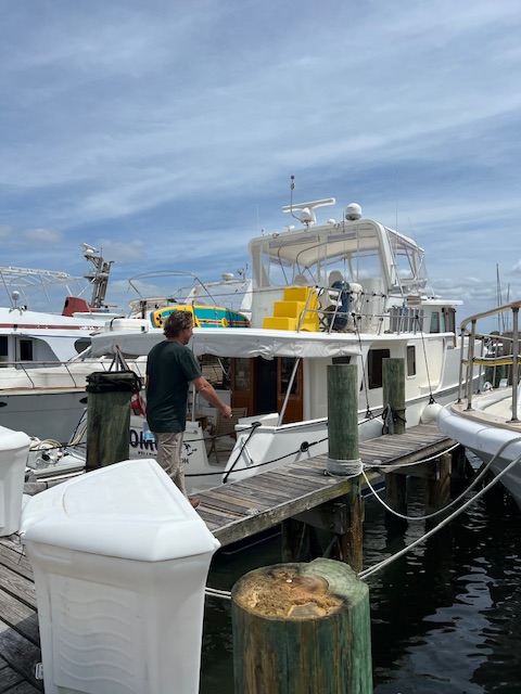
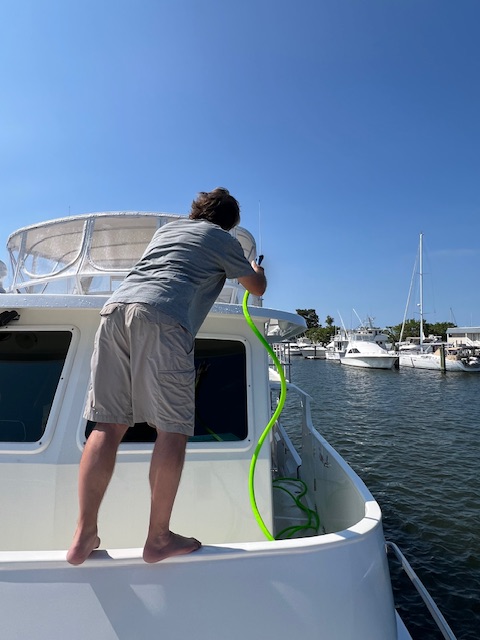
Tim is never bothered with the waves, so he spent the morning getting us reservations at Solomons Island for tonight and Annapolis for tomorrow night. We had an anchorage picked out by Solomons Island, but we decided a marina would be better tonight, with these wavy conditions. So, while Tim braced me to avoid falling over, I looked up the number for Solomons Island Yacht Club, where we stayed two years ago. Luckily, they had a spot for us! We were greeted at the dock by a club member who helped us get docked. Before having a nice dinner at the club and using the three free drink coupons that they gave us, we rinsed down HOMES – every surface was covered in saltwater spray!!
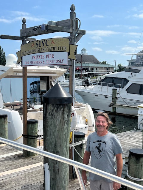
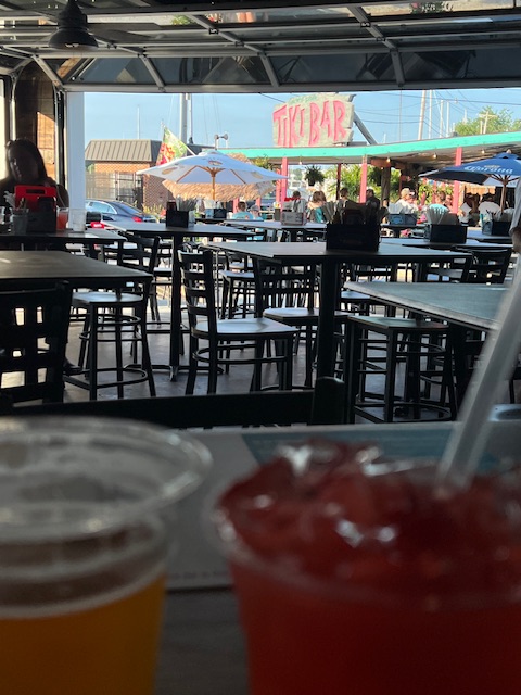
After dinner at the club, we took a stroll around Solomons Island. One of the club members told us that we needed to get a mai tai at The Tiki Bar – “The Home of the Famous Mai Tai,” as their website declares. I did indulge and enjoyed this fruity drink of rum, curaçao liqueur, orgeat syrup and key lime. Since I had the famous piña colada of Cabbage Key, FL, I felt that I owed it to Solomons Island to try their famous drink.

After our walk, we came back to HOMES. I did a load of laundry and we went to bed early. It had been an unexpected and eventful day. We did not hear the concert of the 1990s-band Boyz II Men, which was taking place at nearby Calvert Marine Museum. A member of the yacht club said that we might hear it. She was pleased to tell us that Solomons Island often gets acts to perform here after they perform at nearby Baltimore.
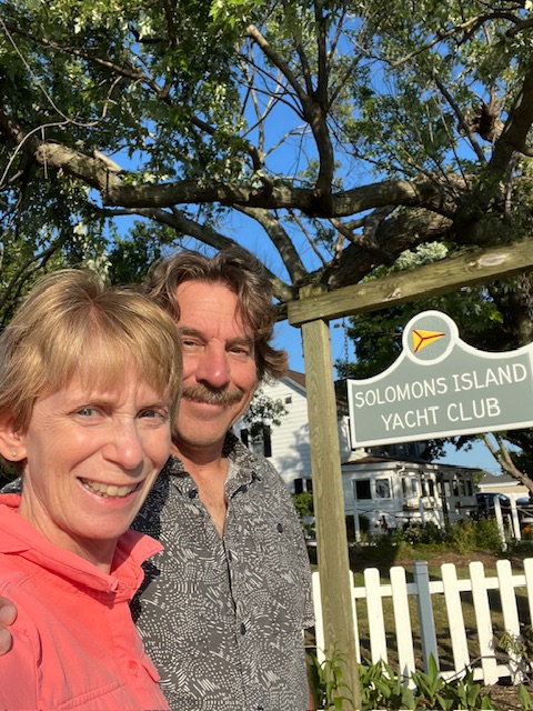
Saturday, June 30, 2024 – Solomons Island, MD (Solomons Island Yacht Club) to Annapolis, MD (Yacht Basin Co. Marina)
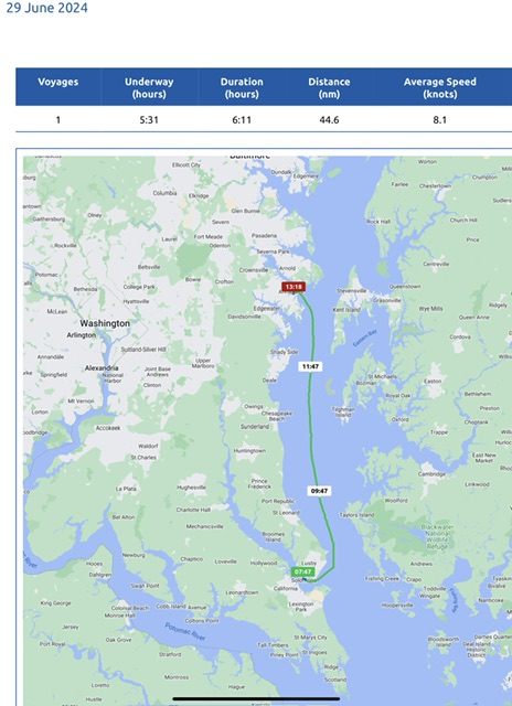
Today, we were underway 5 hours and 31 minutes, going 51 miles (44.6 nm), at an average speed of 9 MPH (8.1 knots). The wind and the tide worked for us, so we got a nice push. We also upped our speed to keep ahead of the following sea that was pushing us. Even with the increased speed, we still used the same amount of fuel, because we covered the distance faster. End result: we got to Annapolis about 2-1/2 hours earlier than planned, which worked for us because we had a lot to see!

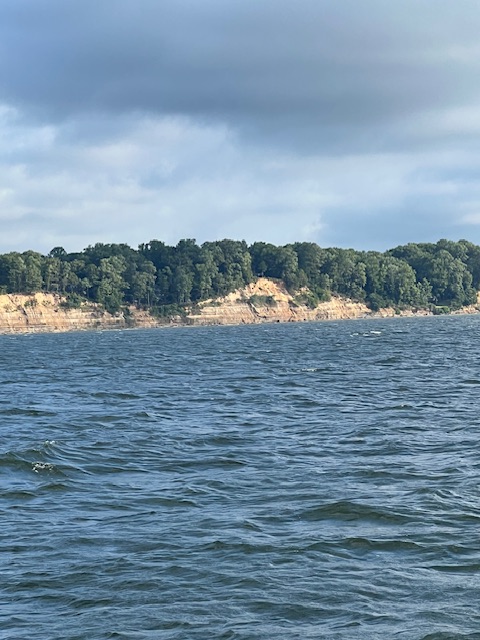
We left Solomons Island Yacht Club a little before 8:00 AM. Fortunately, the waves were only 1-3 feet and pushing us along, instead of making the bow go us and down like yesterday. It was such a smooth ride that I got to work on my blog during the trip.

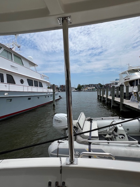
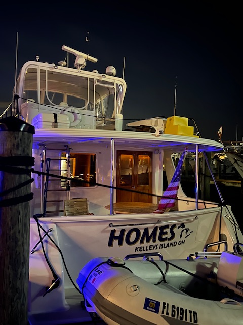
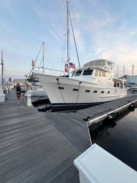
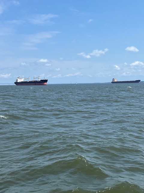
As we made our right turn up the Severn River, there were two big freighters anchored out in the Chesapeake, probably waiting their turn to enter the harbor. Once in the harbor, Tim radioed the marina and was given our slip assignment. We are in one of the “big boat” slips. HOMES is NOT a “big boat” here! She only took up half of the length of the slip. Several boats did take up the whole slip and others slips had two boats sharing one slip.
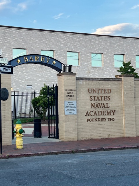
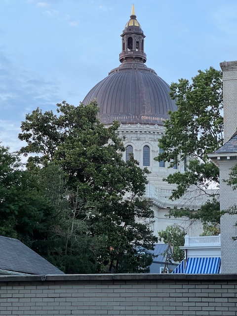
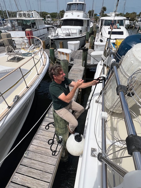
A marina staff member was on the dock waiting to help us with lines. After getting our water and electric hooked up, we walked up to the marina office to check in. It is 88 degrees and very humid, so we went back to HOMES and had lunch in the air conditioning before heading up the dock to explore Annapolis – the capital of Maryland and home of the United States Naval Academy.

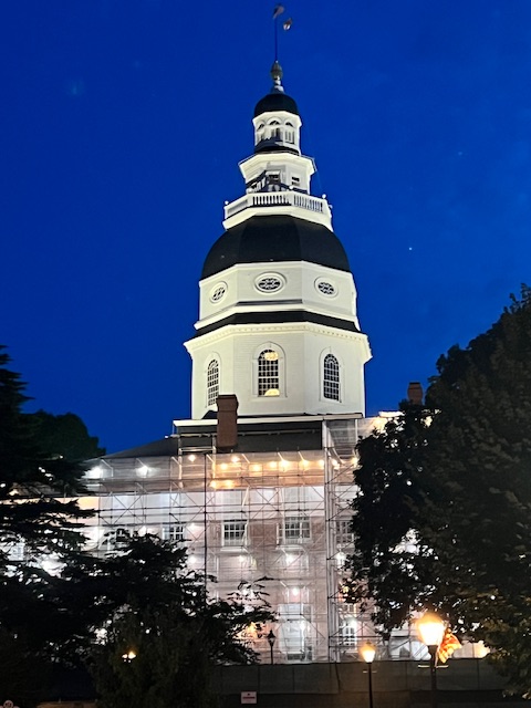
Annapolis is situated 25 miles south of Baltimore and about 30 miles east of Washington D.C. It was founded in 1649 by Puritan exiles. From 1783-1784, Annapolis was the temporary capital of the United States, after the Treaty of Paris was signed here in the Maryland State House, ending the American Revolution. The Maryland State House, opened in 1779, is the oldest state capitol in continuous legislative use. It is also the only state house ever to serve at the nation’s capitol. George Washington came here to resign as commander-in-chief of the Continental Army after the signing of the Treaty of Paris. The dome is the oldest and largest wooden dome of its kind in the United States
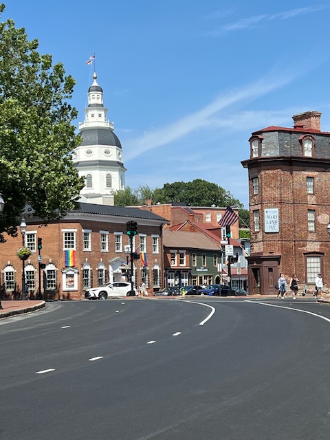
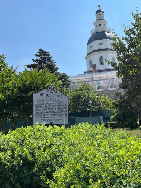
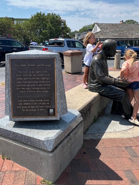
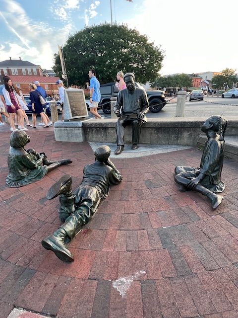
Annapolis also has a long history in Civil Rights. At the City Dock, there is a memorial to Kunta KinteAlex Haley. Alex Haley, is the author of the 1976 fictional novel, Roots. Haley’s novel is based on his family story, which began when his ancestor, Kunta Kinte, was brought to the City Dock of Annapolis, along with 98 other enslaved people aboard the ship Lord Ligonier in 1767. Kinte was taken from his village in what is now The Gambia. The memorial stands for the triumph of human spirit and is dedicated to all African ancestors whose names, unlike Kunta Kinta’s, are lost. The memorial shows Haley sharing his heritage story with children, which is to remind everyone to share their heritage stories with their children.
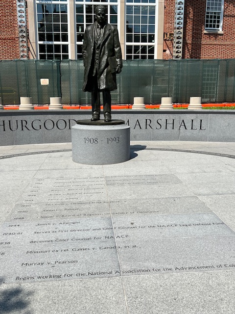
Annapolis is also the home of the late Thurgood Marshall (1908-1993). He was a civil rights lawyer who used the courts to fight Jim Crow laws and dismantle segregation. Jim Crow laws mandated racial segregation in all public facilities in the states of the former Confederate States of America, beginning in the 1870s. The “separate but equal” doctrine was upheld in 1896. Unfortunately, the “separate” was never “equal” and companion laws excluded almost all African Americans from the vote in the South, depriving them of a representative government. The NAACP (National Association for the Advancement of Colored People) was founded in 1909, to fight the Jim Crow laws. Thurgood Marshall was one of the fighters and became our nation’s first Black United State Supreme Court Justice. He summarized the essence of empathy and compassion toward others when he said: “In recognizing the humanity of our fellow beings, we pay ourselves the highest tribute.”

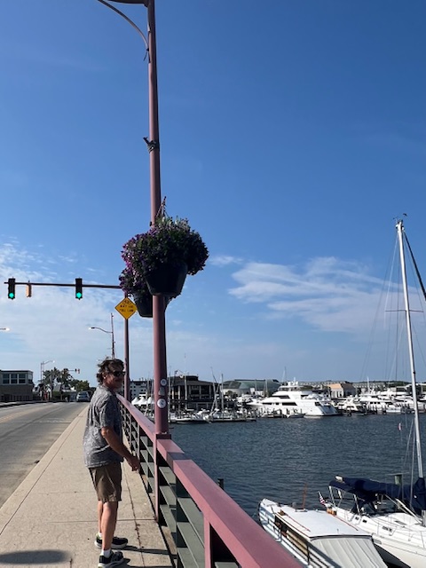
After exploring the historic downtown, we walked across the Spa Creek Drawbridge to the neighborhood of Eastport to enjoy a craft brew at Forward Brewing.
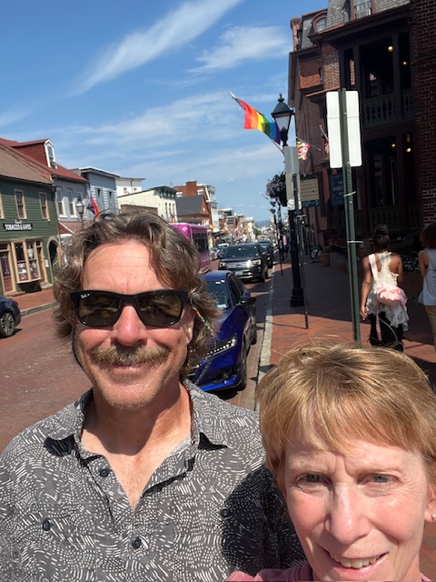
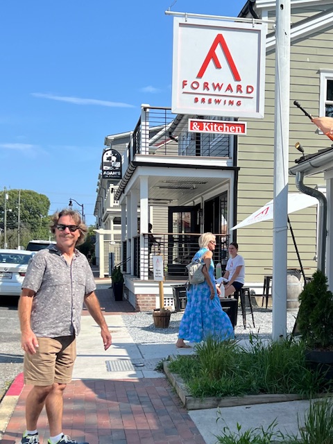
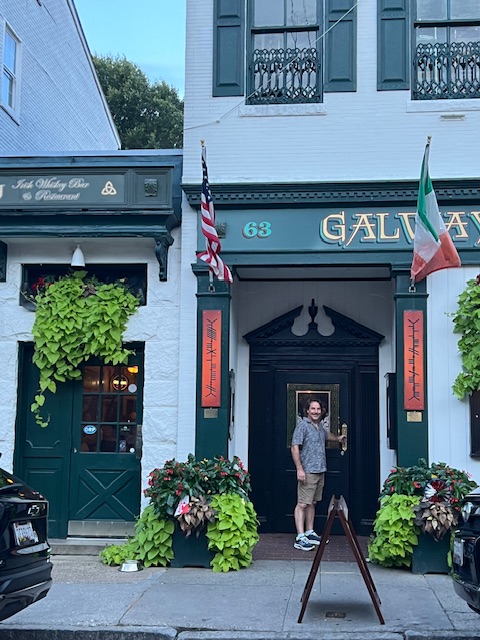
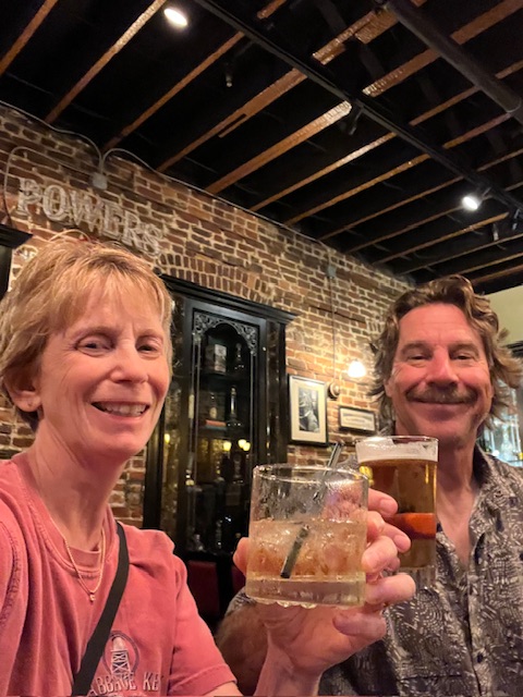
We then took a break from the heat and humidity, enjoying the air conditioning on HOMES, before heading out for an evening stroll around the historic downtown. Ending our day with a drink at Galway Bay Irish Restaurant and Pub near the Maryland State House.
Sunday, June 30, 2024 – Annapolis, Maryland (Yacht Basin Co. Marina) to Chesapeake City, MD (Chesapeake City Anchorage)
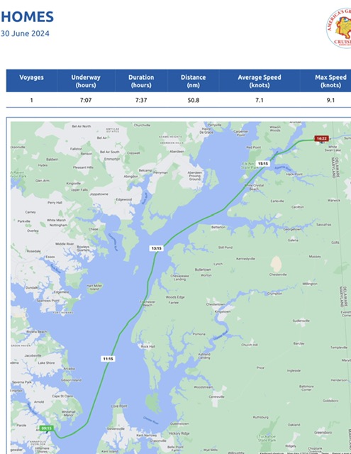
Today, we were underway 7 hours and 7 minutes, going 58.5 miles (50.8 nm), at an average speed of 8 MPH (7.1 knots.).

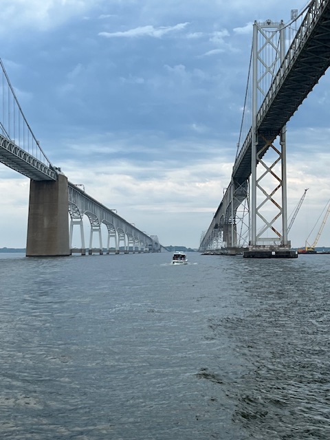
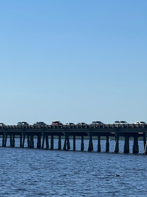
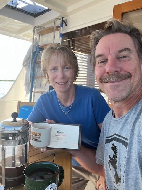
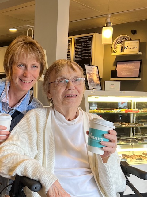
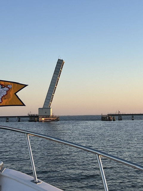
It rained overnight and we woke to an overcast morning. By the time we opened the back door, around 8:30 AM, the air felt thick with heat and humidity. After enjoying our Winans coffee and a little breakfast inside the air conditioned HOMES, we got ready to go. Tim did his engine checks and powered up the electronics, while I took the trash and recycling up to the bins. We unhooked the water and electric and then untied our lines. Tim backed HOMES out onto Spa Creek and swung right to head back to Annapolis Harbor. The harbor was surprisingly empty of boats, as we turned right up the Severn River and back out onto a very calm Chesapeake Bay. We were soon under the Bay Bridge and on our way toward the north end of the Chesapeake Bay.
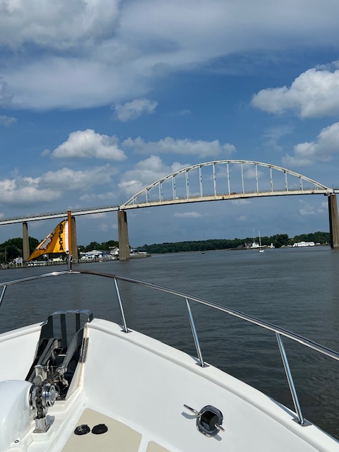
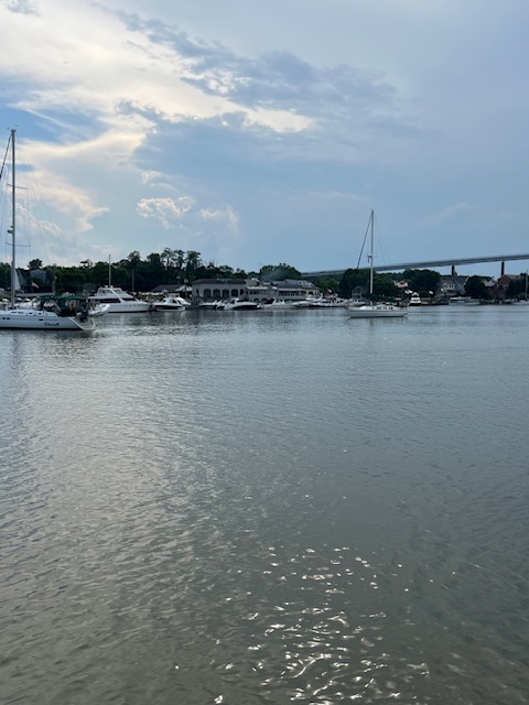
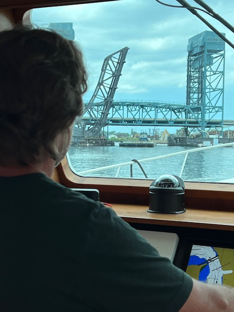
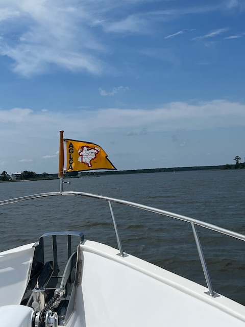
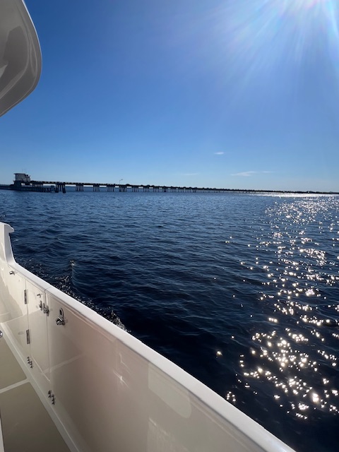
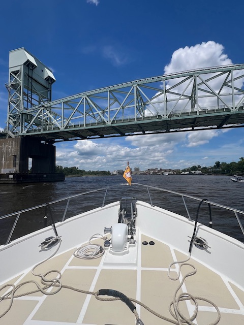
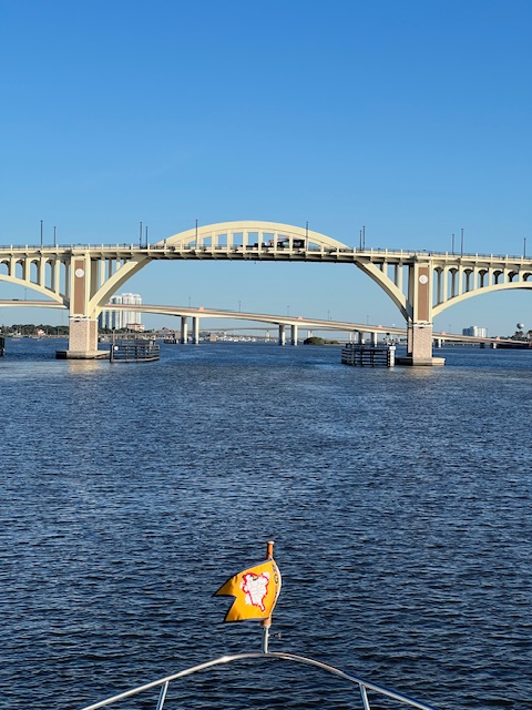
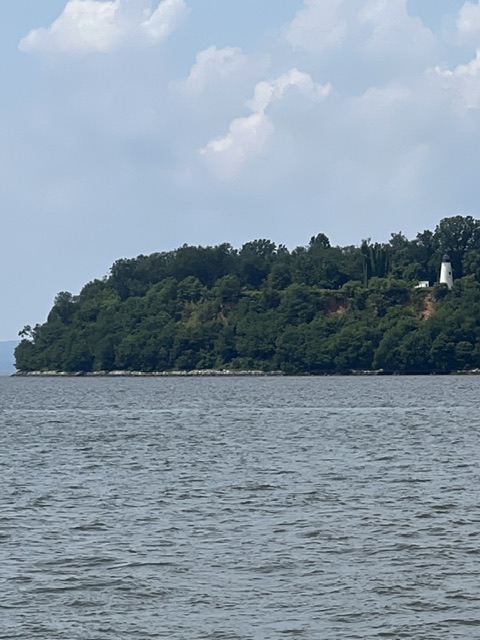
As the Chesapeake began to narrow, we veered off to the right at Turkey Point Lighthouse into the Elk River. After we went under the bridge at Chesapeake City, we were in the C & D Canal. This canal will take us over to the Delaware River. I’ll talk about the C & D Canal next week.
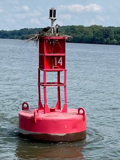
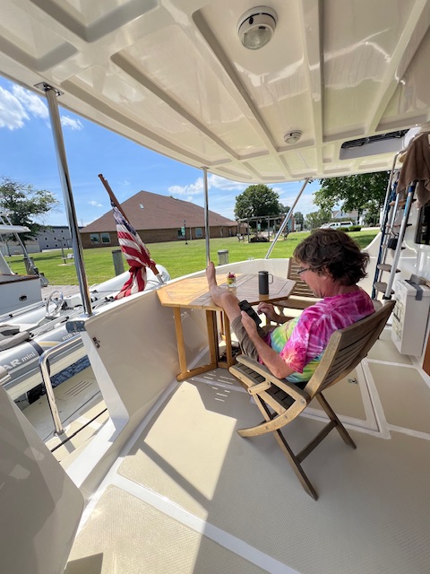
The heat and humidity made for a hot cruise today. There is usually a nice breeze while cruising – but not today! However, we still didn’t feel the need to turn on the generator and run the air conditioners. Once we got anchored at the Chesapeake City Anchorage, the temperature read “88 degrees, Feels like 97 degrees.” We may breakdown and run the generator tonight for air conditioning…we’ll see how it goes. For now, we are chilling on the back deck in a very crowded anchorage, with rain expected.
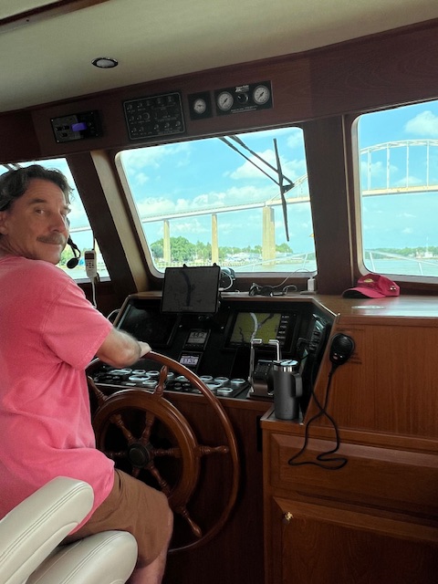
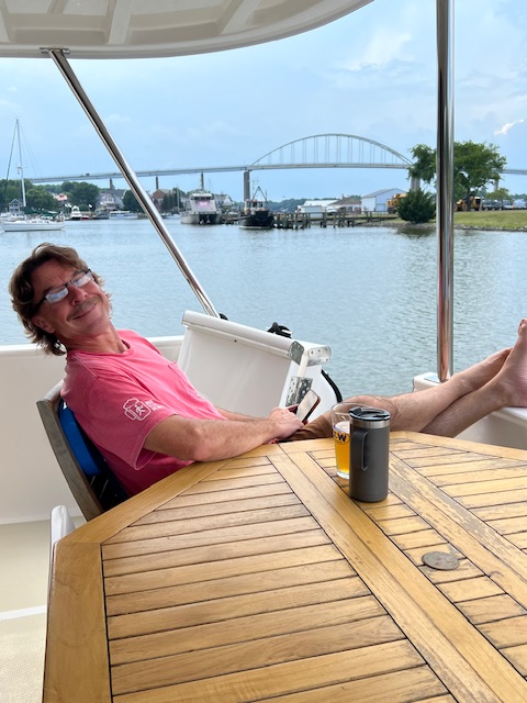
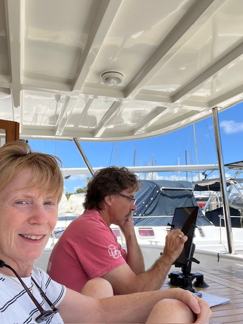
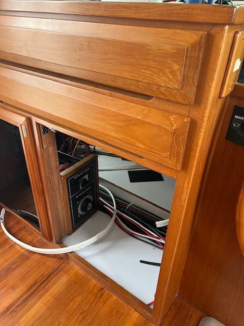
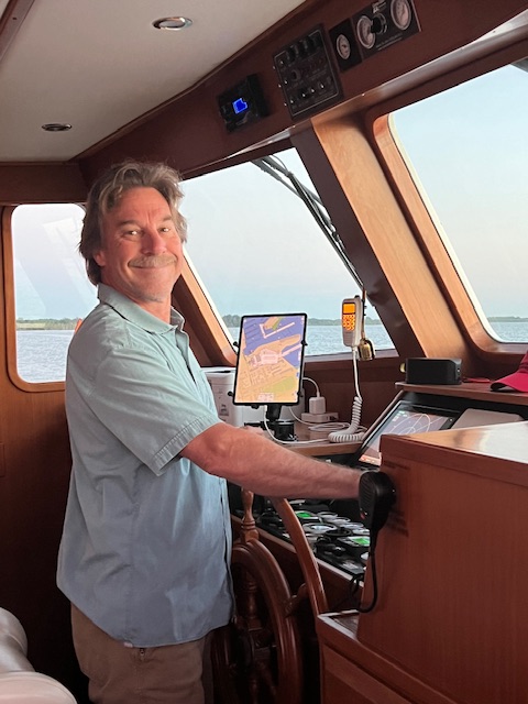
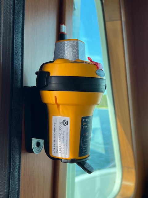
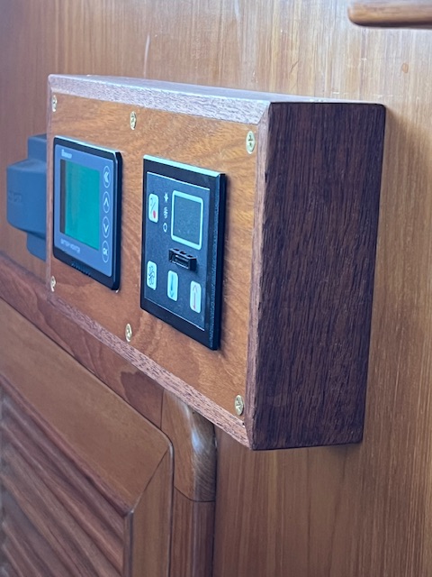
It was nice to be back cruising this week – although we really enjoyed our quick trip home! We got to see lots of family and friends, plus Tim made some things for HOMES. With his 3-D printer, Tim made a bracket for the new EPIRB (emergency position indicating radio), so that he wouldn’t have to put any new holes in the wood. In his wood shop, he made a box out of teak to hold the new battery charger display and the thermostat display, so that he didn’t have to cut any new holes in HOMES. And finally, he bought a piece of black plastic to make a cover plate over the hole where the old depth finder was. Now, he mounts his iPad holder in that space – so much more convenient than sitting on the countertop.
Next week will take us to Philadelphia, PA for the 4th of July!

See you next week!

Thanks for reading!

Beth


Beth

Blog

June 10-16, 2024 – Elizabeth City, NC to Portsmouth, VA

Monday, June 10, 2024 – Elizabeth City, NC (Mid-Atlantic Christian University Dock) – Layover Day.

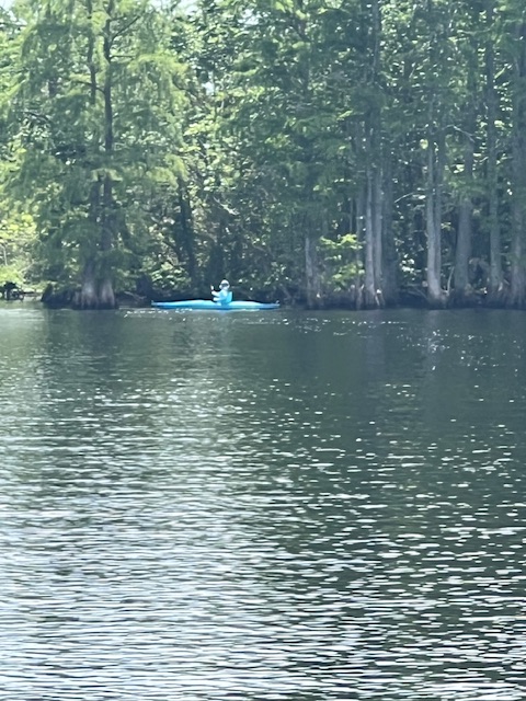
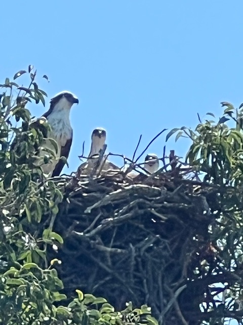
Today is our first layover day since resuming our voyage from St. Augustine on May 23rd. I took advantage of a kayak provided by the university. Taking off across the Pasquotank River to the swampy edge of Machelhe Island, I explored in and among the tall cypress trees and gnarled trunks where trees once stood. It was a peaceful afternoon paddling through the tea-colored water, watching a pair of ospreys soaring around. One caught a fish in his talons. The other let me know, with her continuous squawking, when I got too close to their nest. I gladly gave them their space. While I was gone, Tim puttered around HOMES and repositioned the Freedom Lift, so the dinghy sits more level.

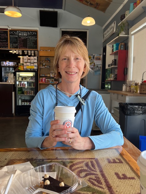
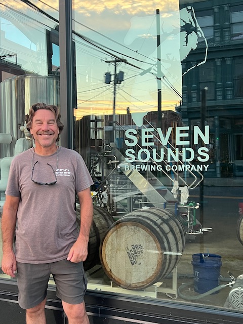
In the late afternoon, we went for a walk and found Muddy Waters Coffeehouse. In the evening, we sat on the patio of Seven Sounds Brewing Co. and enjoyed talking with some locals. One was deaf, so we learned a few ASL sign language signs.

Tuesday, June 11, 2024 – Elizabeth City, NC (Mid-Atlantic University Dock) – The Great Dismal Swamp (Douglas Landing Dock)

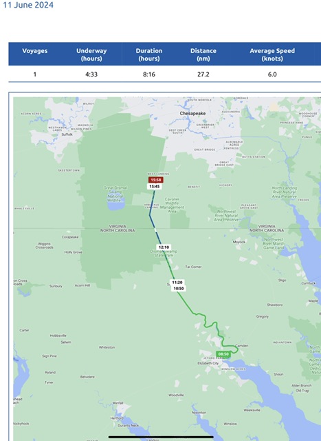
Today, we were underway 4 hours and 33 minutes, but adding in a lock, our voyage lasted 8 hours and 16 minutes. We went 31 miles (27.2 nm), at an average speed of 7 MPH (6 knots). Being only 6-feet deep, the Great Dismal Swamp requires slow going. HOMES only needs 4’8’’ to float, but the swamp has submerged logs that cause an occasional “thunk!”

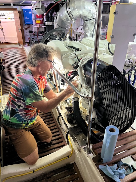
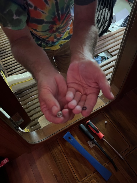
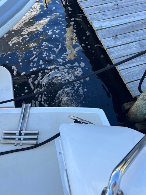
Our day got off to a rocky start. When we were untying lines, Tim noticed there was no water coming out of the port engine exhaust! When he got to the engine room, he found water spurting out the side of the engine. The bolt that holds the impeller in place sheared off – just like happened to our starboard engine back on October 28th in Grafton, IL. Since it happened once, Tim was prepared for it to happen again. Therefore, it only took him about 20 minutes to make the fix.

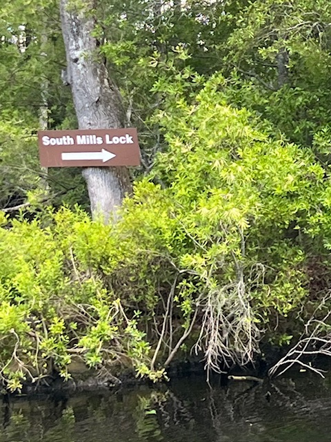
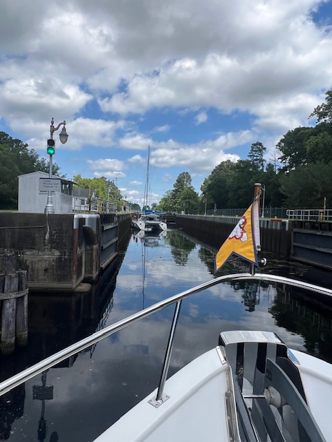
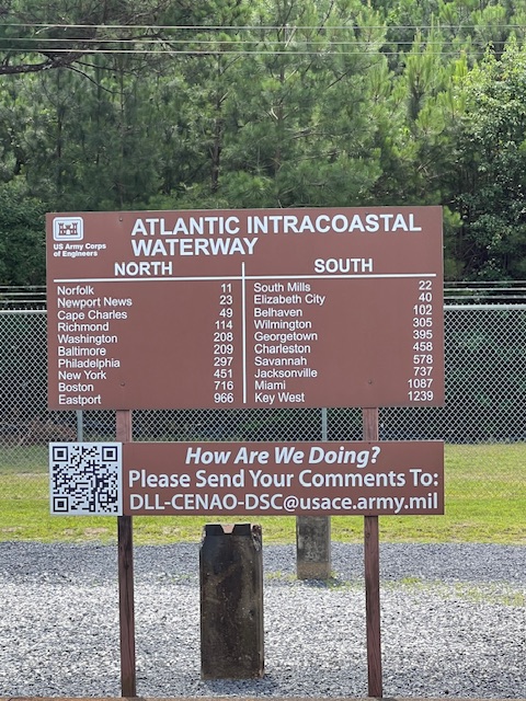
With a potential disaster averted, we finished untying HOMES and headed off to the Great Dismal Swamp. We arrived at South Mills Lock with minutes to spare for the 11:00 opening. The 22-mile long canal through the swamp has a lock at the beginning and one at the end.

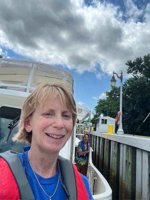
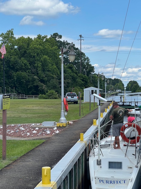
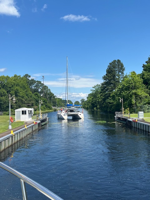
We shared the ride up in the lock with a catamaran. At the top, the lock tender opened the gates and then got in her truck and drove the short distance up to South Mills Bridge to lift it for us.

The swamp smelled so good with its flowering trees and pines lining the canal. As I said, the canal is supposed to be 6’ deep, but on this segment of the canal, we saw shallower depths and heard a “clunk” a few times.

We stopped about 5 miles into the swamp at the Dismal Swamp State Park Visitor Center. We made lunch and ate it on HOMES’s back deck. Then, we visited the gift shop and small museum. George Washington was a member of the first company who began digging the canal, so the canal’s history is very long. Its history is also sad, with deforestation, slave labor and ecosystem devastation. It is only about one third of its original size, because of ditching and draining the swamp for agriculture and timber. Its remaining 125,000 acres is now protected by public conservation agencies.

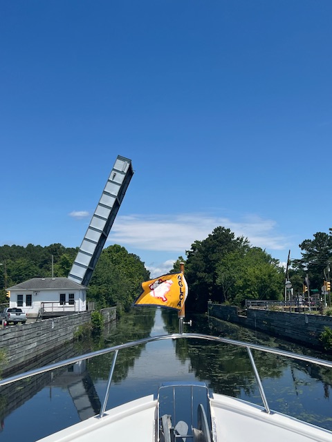
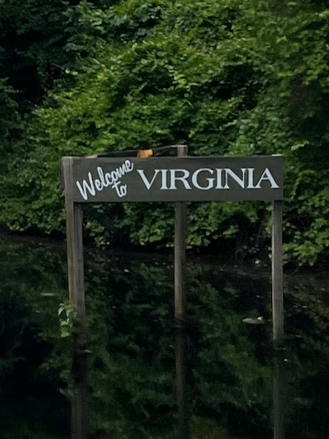
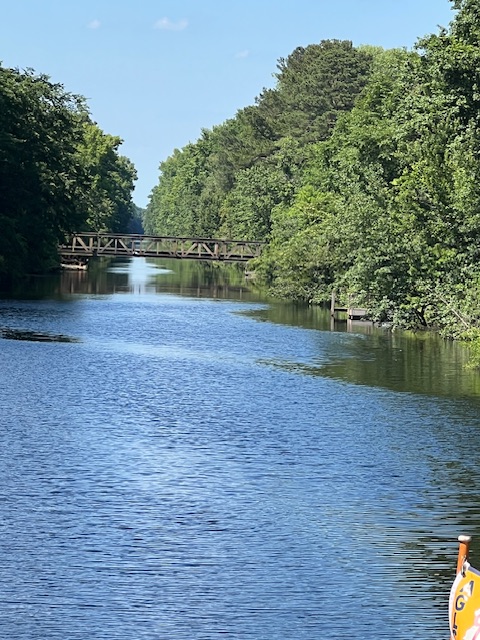
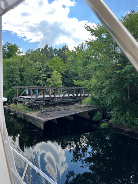
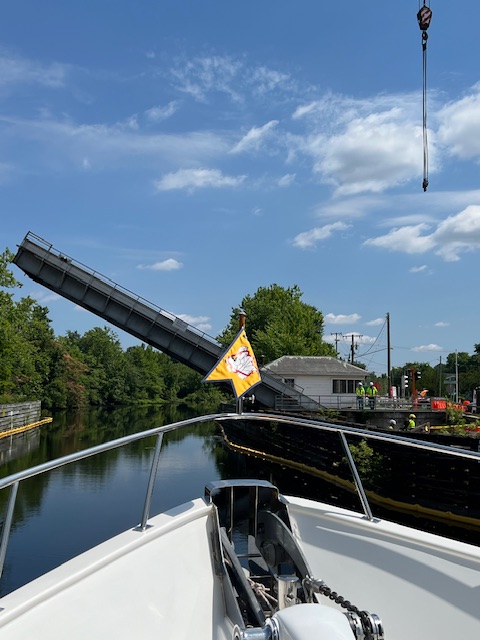
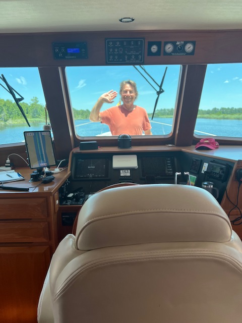
About 30 minutes after pulling away from the Visitor Center dock, we crossed into a new state – Virginia! We had a surprise when we saw a bridge that is supposed to be kept in an open position. It is called “No Name Farm Bridge.” I got out my binoculars and did see equipment going over the bridge. So, when we got close to the bridge, a guy did see us coming and quickly pulled the bridge out of our way. It appeared that he pushed and pulled the bridge into place using a big front-end loader. He didn’t seem annoyed with our appearance. He waved and took our picture, as we exchanged hellos.

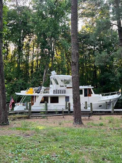
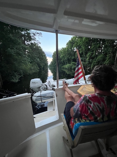
Around 4:30, we came to our “dock” at Douglas Landing, where we would spend the night in the swamp. We could have stayed at the Visitor Center dock, but I thought it would be more fun to stay at this remote dock. HOMES took up the whole dock, but that was okay. The only other boat in the swamp was the catamaran, and they stayed all night at the Visitor Center. We soaked in the peacefulness of the swamp – the bird song, swimming turtles, fresh pine smell and glittering stars.

Wednesday, June 12, 2024 – The Great Dismal Swamp (Douglas Landing Dock) to Portsmouth, VA (Ocean Yacht Marina)

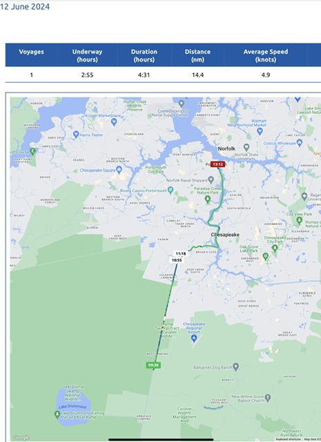
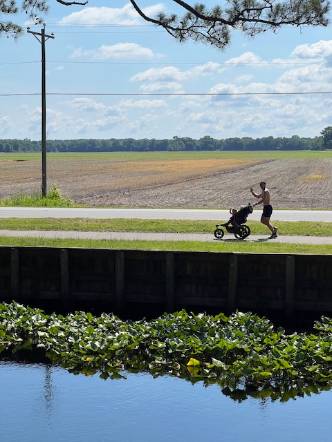
Today, we were underway 2 hours and 55 minutes. However, locking out of the swamp increased our total trip to 4 hours and 31 minutes. We went 17 miles (14.4 nm), at an average speed of 5.6 MPH (4.9 knots). For a mile or so we were paced by a guy running with a stroller and talking on the phone. Again…we never said this is a fast way to travel!

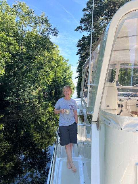
We woke to bird song. Being in no rush, we enjoyed coffee on the back deck. We only had about an hour to get to the 11:00 AM opening of the Deep Creek Lock – which takes us out of the swamp.

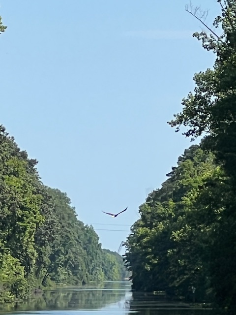
Our morning voyage continued through the Great Dismal Swamp National Wildlife Refuge on our left. The canal seemed deeper today. We didn’t hear any “thunks.” There were many turtles soaking up the sun on logs and an eagle escorted us for a time.

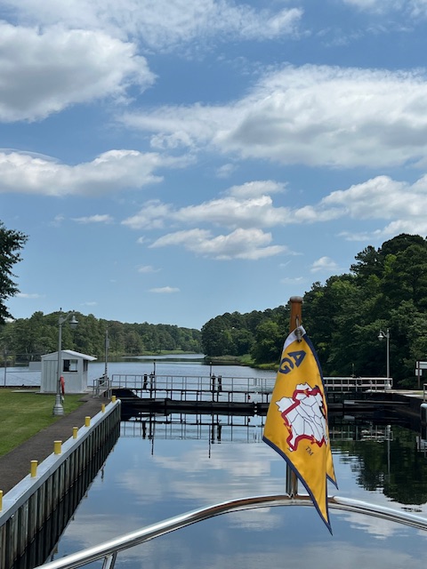
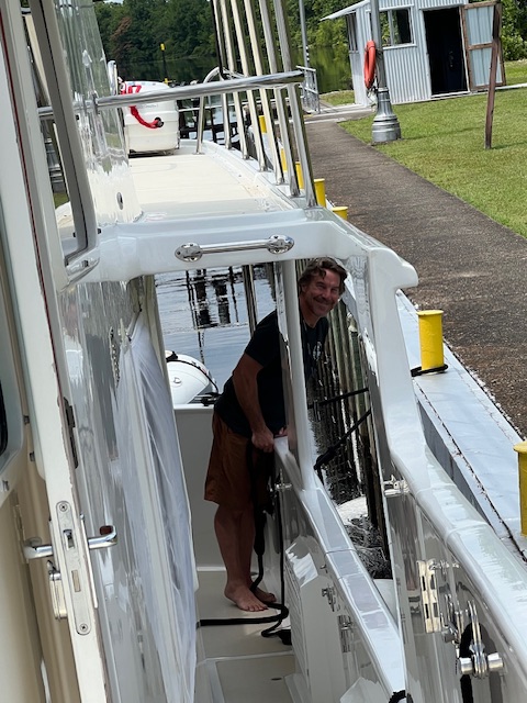
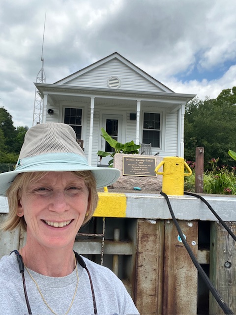
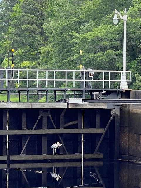
We made it to Deep Creek Bridge and Lock at 11:00 AM. The bridge is about 500 yards before the lock. The lock keeper had to leave the lock to come lift the bridge for us. After lowering the bridge, he drove back to open the lock for us. He wasn’t the speediest guy, but was very nice. It took about 15 minutes to lower down in the lock. While waiting, I watched a heron fly onto the lock gate and lunch on the fish as the water lowered. The lock keeper said the heron is a regular. He named him Bob.

Once out of the lock, our journey through the 22 miles of the Great Dismal Swamp came to an end. We continued on to the Elizabeth River and turned left. The Elizabeth River is very industrial with military ship building. We encountered a tow pushing a barge coming at us through a bridge. Then, we came upon a freighter being escorted by two tugs. Luckily, we came to our marina before we had to decide how to get around it.

We are now docked and heading home for a short visit and a family reunion.

See you next time, after we begin cruising again.

Thanks for reading!


Beth


Beth

Blog

June 3-9, 2024 – Wilmington, NC to Elizabeth City, NC

Monday, June 3, 2024 – Wilmington, NC (Port City Marina) to Wrightsville Beach, NC (Motts /Banks Channel Bight Anchorage)

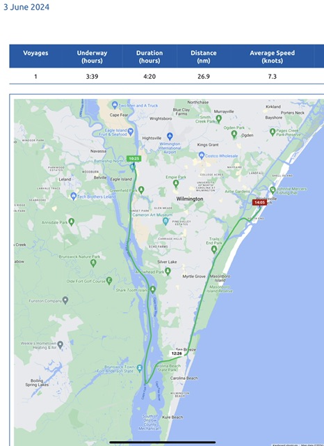
Today, we were underway 3 hours and 39 minutes, going 31 miles (26.9 nm), at an average speed of 8.4 MPH (7.3 knots). We had a short voyage today; however, if we drove this in a car, it would have taken us 10 minutes! Oh well, no one said this was a fast way to travel -even with the push from the tide today!

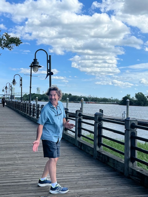
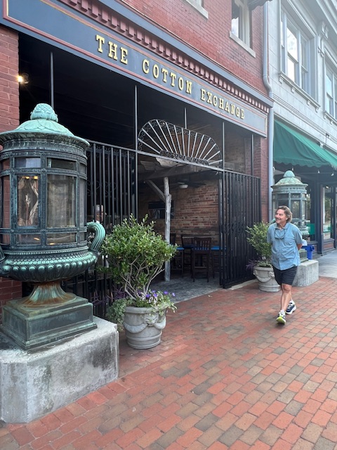
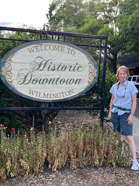
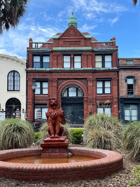
When we left you last week, we were about to head into Wilmington to explore. Port City Marina is on the RiverWalk, so we followed it along the Cape Fear River and turned up into the Historic District. I use the word “up” literally – no more low county up here. The Cotton Exchange building was actually built into the side of the hill. The Cotton Exchange was the largest exporter of cotton on the east coast, until it was dissolved in 1950. Its building is now one of eight buildings that make up an area of shops and restaurants the wind along brick corridors and cobblestone streets, with storefronts reminiscent of a 19th-century Southern city street.

Our walk took us past some of Wilmington’s historic architecture, from colonial to antebellum. The Burgwin-Wright House, built in 1770, exemplifies the Georgian architecture of the pre-revolutionary era, in honor of King George. The antebellum era (after the American Revolution, but before the Civil War) structures that we saw were: 1) Thalian Hall, built from 1855-1858 by an amateur theatrical company, it still serves as a performing arts center; and 2) St. James Church, built in 1839, near the site an earlier church. The church was originally chartered as part of the Church of England in 1729, and is one of the oldest active congregations in North Carolina, and the oldest church in Wilmington.

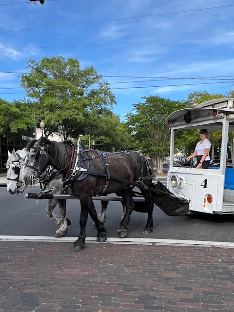
The best way to see the historic district is by a horse-drawn trolly. We ended our walk, as we usually do, at a local brewery – Ponysaurus Brewing Co.

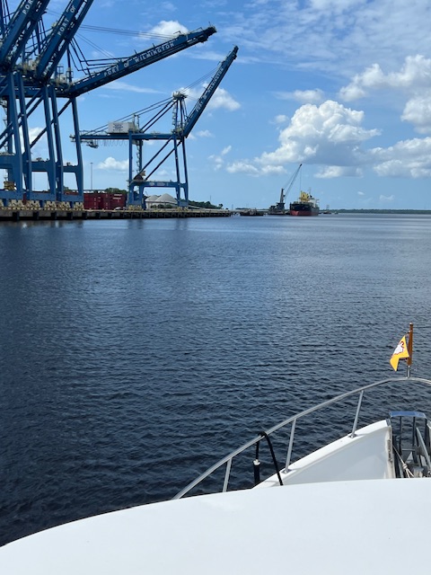
Now, back to our Monday voyage. We retraced our way back down the Cape Fear River. We had a relaxing morning, waiting for the tide to work for us. By leaving around 10:15 AM, we got a nice push back toward the Atlantic Ocean.

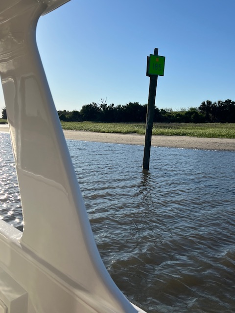
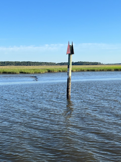
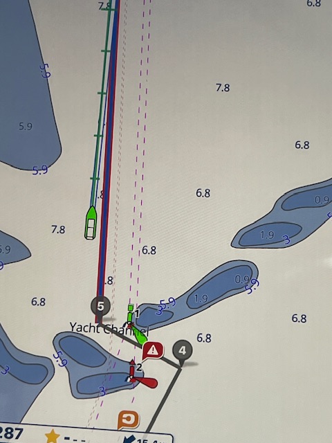
A few miles from the mouth of the Atlantic Ocean, we took a left-hand turn toward Snow’s Cut – a man-made cut through Carolina Beach over to the ICW. There was always a natural waterway here, but in the 1920s a dredging and excavation project began to carve a deeper channel connecting the Cape Fear River with the ICW, so that vessels could avoid a longer and more treacherous journey around the southern tip of Carolina Beach. Being a man-made cut, Mother Nature wants to scab it over. There are short markers that look like cans, which serve as temporary markers in front of the permanent markers, showing where the shoaling has narrowed the channel – which is already narrow! We hit bottom, or something, at one spot. We radioed the boat behind us to warn them, but they hit whatever it was too.

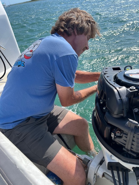
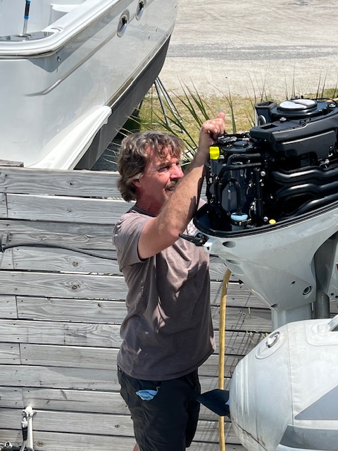
Once we got out of Snow’s Cut, we turned north, following the dredged channel of the ICW through a marshy, yet populated, area on our left and marshes with beach fronts on the Atlantic to our right. After passing Masonboro Island, we turned right toward the Atlantic and then left up behind Wrightsville Beach, NC. Our anchorage, Motts/Banks Channel Bight, is called a “bight” because it is in a curve or recess in a coastline. It was a nice anchorage sitting between the ICW and Wrightsville Beach. Tim spent some more time working on the dinghy motor.

Tuesday, June 4, 2024 – Wrightsville, Beach, NC (Motts/Banks Channel Bight Anchorage) to above Beaufort, NC (Adams Creek Anchorage)

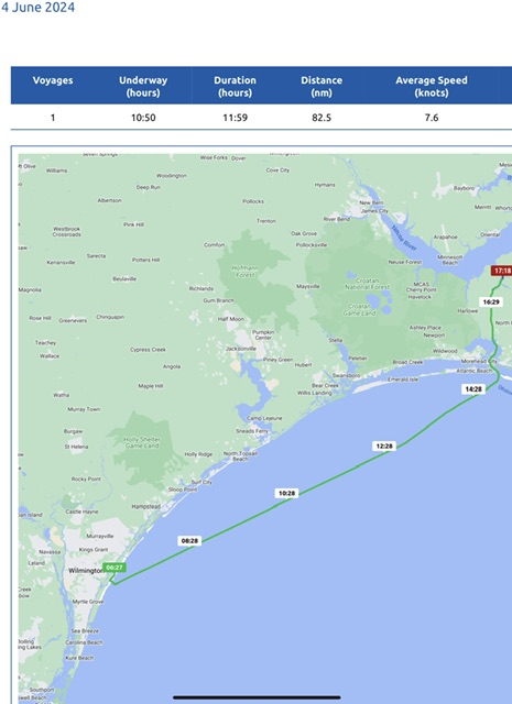
Today, we were underway 10 hours and 50 minutes, going 95 miles (82.5 nm), at an average speed of 8.7 MPH (7.6 knots).

We were up before the sun today. We pulled up anchor and headed out the Masonboro Inlet into the Atlantic Ocean around 6:30 AM. We opted to do this long voyage rather than wait for the Onslow Beach Swing Bridge in Sneads Ferry, NC, near Camp Lejeune, to reopen on June 6th.

During our eight hours on the Atlantic Ocean, we called Tim’s brother, Tom, and wished him a happy 60th birthday; we had lunch; and I took a nap. Around 3:00 PM, we headed in the Beaufort Inlet. Both of the inlets that we used today have deep and wide channels. Some inlets are advisable only for locals, because of shoaling. The Beaufort Inlet is where, in 1718, Blackbeard the pirate ran his flagship, the Queen Anne’s Revenge aground. Wreckage from the ship was discovered in 1996.

Blackbeard was not as fortunate as us, because our channel through the Beaufort Inlet was wide and deep. If we took the channel to the right, we would have gone to Blackbeard’s hometown of Beaufort, NC. We visited that charming 1713 town on our last time around. Beaufort is the fourth oldest town in North Carolina; however, tomorrow, we’ll visit the second oldest!

The Morehead Channel took us under the bridge connecting Morehead City and Beaufort, NC. Soon, we passed Phillips Island at the mouth of the Newport River. This 17-acre island was the home of a menhaden (type of fish) factory that burned down in 1953, leaving only a brick chimney. The Phillips recently donated the island to University of North Carolina for marine science. Once we crossed the Newport River, we entered Core Creek. As we meandered up this creek, the named changed to Adams Creek and we found our anchorage for the evening.

Wednesday, June 5, 2024 – Above Beaufort, NC (Adams Creek Anchorage) to New Bern, NC (Galley Stores Marina)

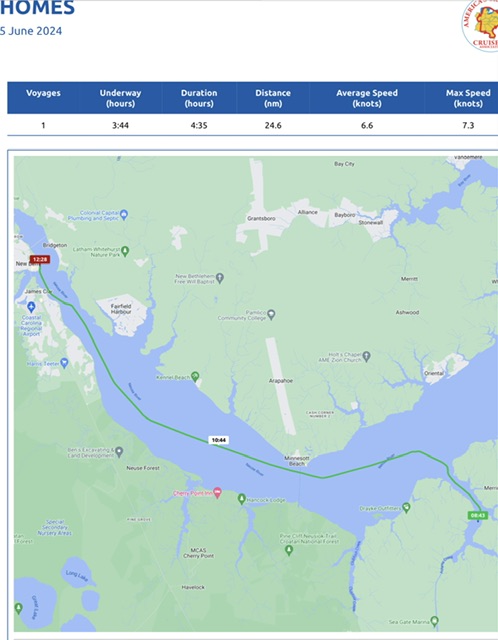
Today, we were underway 3 hours and 44 minutes, going 28 miles (24.6 nm), at an average speed of 7.6 MPH (6.6 knots). Just minutes from our anchorage, we came to the mouth of the Neuse River and took a right toward New Bern, instead of taking a left and continuing along the ICW.

We have been looking forward to visiting New Bern, so we extended our voyage yesterday, so that we’d have more time there today.

The Neuse (Noose) River -meaning “peace” in the Native American language of the Neusiok tribe – is the longest river entirely contained in North Carolina. At 275-miles long, it links North Carolina’s capital of Raleigh to its first captial of New Bern and empties into Pamlico Sound – a large estuarine lagoon separated from the Atlantic by the Outer Banks (a row of low, sandy barrier islands of North Carolina).

Despite the Neuse River being an average of 3.5 miles wide from the ICW up to New Bern, a guy on shore near New Bern noticed HOMES cruising by and hailed us on the radio. the guy has a 48-foot Defever and wanted to know all about HOMES. Shortly after our radio chat, we saw the bridges of New Bern splitting across the Neuse River and Trent River. Our marina was straight ahead on the Neuse River. The storm damage from Hurricane Florence in Sept. 2023 is still evident around the marina. New Bern was hit with a 10-foot storm surge. The dock hand said that a boat caught in the surge caused much of the damage.

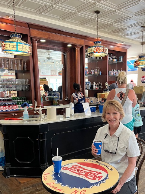
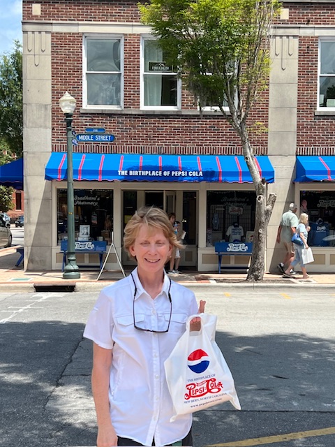
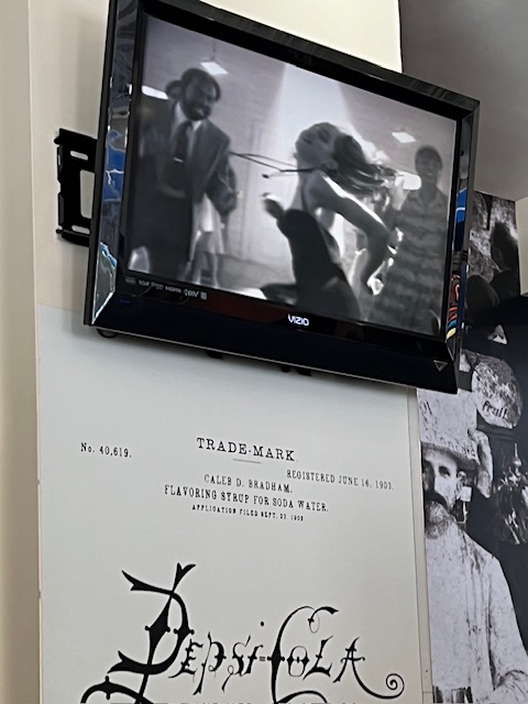
After docking, our first stop was the Pepsi Store – the drug store where, in 1898, local pharmacist Caleb Bradham (1867-1934) invented the original formula that would become Pepsi-Cola. He originally called it “Brad’s Drink,” but by 1903, he had a trade mark for Pepsi-Cola with the U.S. Patent Office. After some shopping, we had a $0.50 Pepsi and reminisced while watching old Pepsi commercials play on the TV. I snapped a shot of my favorite – the 1989 commercial with Madonna. It was only aired one time, but I, along with millions of others, tuned in (I believe during The Cosby Show) to see Madonna’s new Like a Prayer single. The video stands for social justice, but Christian groups, including the Vatican, disagreed and caused the commercial to air only that one time. In 2023, Pepsi released the commercial again for the MTV Video Music Awards and it is now proud part of Pepsi’s advertising legacy.

New Bern is North Carolina’s 2nd oldest town and the state’s 1st capital. [note: a “capital” is the city that is the seat of government and “capitol” is the building in which the government meets].

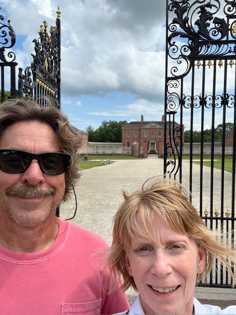
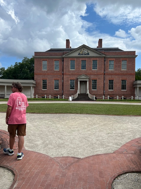
New Bern was founded in the early 1700s by Swiss immigrants, who named their settlement after Bern, the capital of Switzerland. In the late 1700s, King George became tired of the capital moving around with the royal governor, so he told Royal Governor William Tryon to make a permanent capital. Tryon chose New Bern for its proximity between Norfolk, VA and Wilmington, NC.

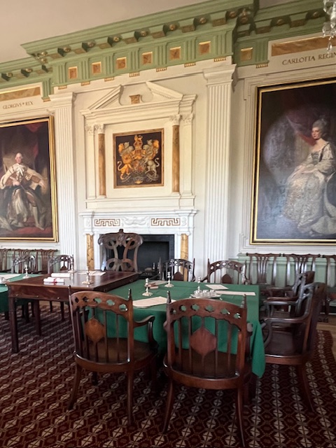
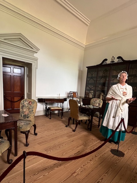
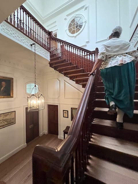
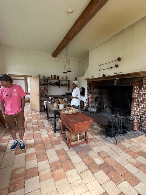
Unfortunately, King George didn’t give Tryon any money for the capitol, so Tryon taxed the residents of North Carolina. The farmers and trappers, who lived farther from the coast, mostly bartered. Therefore, they didn’t have coinage to pay this tax for “Tryon’s palace.” Twelve of those residents revolted. Tryon had six of them hanged and let six go. He thought he had averted a rebellion, but the next royal governor, Josiah Martin, inherited an even bigger problem, with the American Revolution looming. After Royal Governor Martin and his family fled, the palace was used by the Patriots and here the first sessions of the General Assembly met to begin designing the free and independent state of North Carolina. On April 12, 1791, George Washington attend a dinner and dance here in his honor.

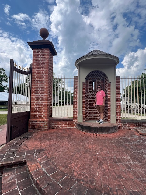
The glory of the palace could have ended when the state captial moved to Raleigh in 1794 and when the main building burned to the ground in 1798; however, because of the tenacity of five wealthy women benefactors, Tryon Palace was restored to its original glory and opened to the public in 1959. Beginning in the 1930s, led by Maude Moore Latham, the women accomplished monumental tasks, such as: finding the original building building plans in England; getting North Carolina Rt. 70, including a bridge over the Trent River, relocated (since the road covered the site); finding inventories kept by William Tryon and then proceeding to replace his books and buy back original furniture; traveling through England and buying fireplace mantels, etc. from English manors of this time period that were failing after WWII; and, finding craftspeople across the country and abroad with the necessary skills to do the work; and, finally, obtaining state financing to maintain and operate facility, along with Mrs. Lantham’s own trust fund. There is a garden celebrating Mrs. Lantham’s dedication.

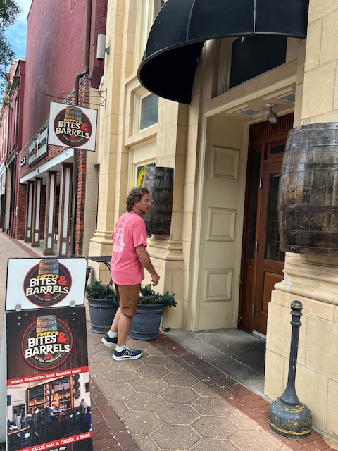
After all of that history, we were ready to sit down. We had a drink at Poppy’s Bites & Barrels, then dinner at Blackbeard’s Triple Play, and a drink on our way back to the boat at Michael’s Pub.

It was a nice day and evening in New Bern.

Thursday, June 6, 2024 – New Bern, NC (Gallery Stores Marina) to Goose Creek, NC (Goose Creek-Snode Creek Anchorage)

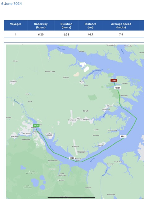
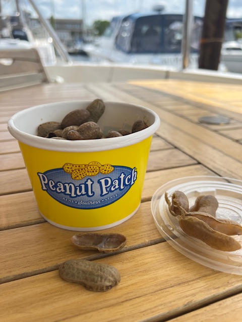
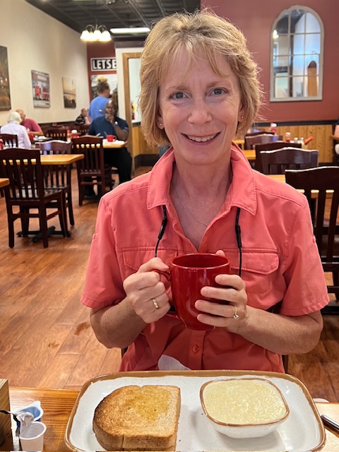
Today, we were underway 6 hours and 20 minutes, going 54 miles (46.7 nm), at an average speed of 8.5 MPH (7.4 knots). Since our day was just ending at an anchorage, we were in no rush to leave this quaint town of New Bern. We walked up town for breakfast at Baker’s Kitchen Restaurant & Bakery. As usual, I wanted to experience the local cuisine, so I had the grits and homemade bread. Last night, we tried the official snack of South Carolina – boiled peanuts. Boiled peanuts originated in Africa and brought here by enslaved West Africans. Boiling was a way to eat fresh peanuts that weren’t yet dry enough to roast. Confederate soldiers boiled peanuts over campfires as a food source that could be carried easily. The process of boiling the peanuts draws antioxidants from their shells, so they have four times the antioxidants of raw or roasted peanuts. We thought they had little flavor, with the mushy texture/consistency of a green bean seed – not bad, but probably once will be enough.

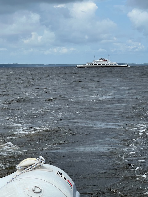
Around 9:30 AM, we pulled away from the marina and headed back up the Neuse River. Around 11:30 AM, we saw the two ferries that continuously take passengers on the 20-minute passage over the Neuse River between Cherry Branch and Minnesott Beach. The route started in 1973 to shuttle Pamlico County residents to jobs at the Cherry Point Marine Air Base. The base is a powerful aviation arsenal – which is appropriate since Kitty Hawk, where aviation began, is just up the East coast from here. However, we didn’t continue out Pamlico Sound and up the coast. We just crossed a small portion of the Pamlico Sound and took a left up the Pamlico River and then a right into Gale Creek, which took along creeks and a made-made channel, which led to our anchorage on Goose Creek.

We were reminded how important it is that the ICW connects all of these rivers, creeks and sounds. Along this stretch, we encountered a tug pushing a barge, some fishing vessels and several pleasure boaters, like ourselves. As we passed the Coast Guard Station, we reminisced about being pulled over by the Coast Guard the last time we were here. We became part of their training that day, because the Boatswain’s Mate needed practice pulling up along side a boat.

Soon, Gale Creek joined Goose Creek and we found our anchorage. We sat on the back deck, on this hot and humid night, and watched the lightening from a distant storm. The lights from an approaching tug, came out of the dark and then left us in the dark again.

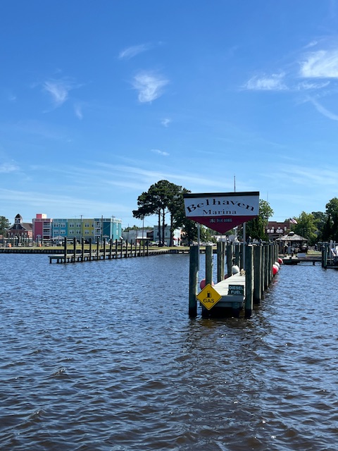
Friday, June 7, 2024 – Goose Creek, NC (Goose Creek-Snode Creek Anchorage) to Bellhaven, NC (Bellhaven Marina)

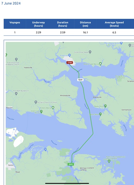
Today, our short voyage had us underway 2 hours and 29 minutes, going 18.5 miles (16.1 nm), at an average speed of 7.5 MPH (6.5 knots). We opted for a short voyage to Bellhaven today, instead of arriving late yesterday, so that we’d have more time to explore Bellhaven.

We were greeted by two friendly marina employees. They told us diesel is only $3.25 today! That is the cheapest we’ve seen, so Tim polished some fuel to our front tanks, allowing room to put 188 gallons of diesel in our rear port tank.

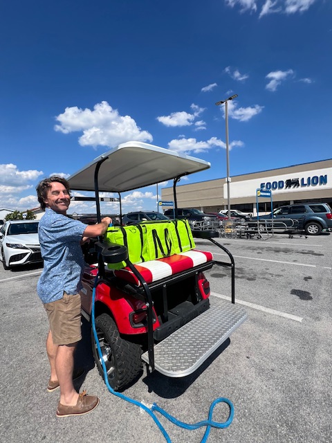
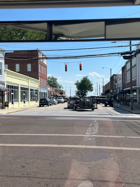
We were also please to find out that the marina has a courtesy golf cart! We took the golf cart the 1.5 miles to grocery store. The golf car made a few strange noises, but it got us to the grocery store and back just fine. It was a little reminiscent of the courtesy car in Demopolis, AL, where Tim had to put the driver’s window back in after it fell out when he was trying to fix it.😂

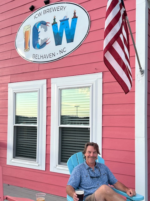
The lady at the marina recommended Spoon River Artworks and Market for dinner. She got us a reservation for 5:30 PM. I thought she was being dramatic, but the restaurant was very busy, considering the small size of this town. It was also very gourmet, and pricier than our usual dinners, but Tim enjoyed his beef tips and I my salmon cake. We ended our day at ICW Brewery. Since we have visited so many breweries along the ICW, we needed to stop at the one named for it. This small brewery with 6 beers on self-pour taps. We were given a card that kept track of what we poured by the ounce. We found nice locals to talk with on the patio overlooking the ICW, which at this point is Pantego Creek/ Pungo River.

Also, two years ago today, we began our Great Loop Adventure. Since then, we’ve traveled 180 days, going 6,853 miles! What a journey it has been since leaving Delray Beach, FL on June 7, 2022.

Saturday, June 8, 2024 – Bellhaven, NC (Bellhaven Marina) to the Alligator River (Alligator Bridge Anchorage)

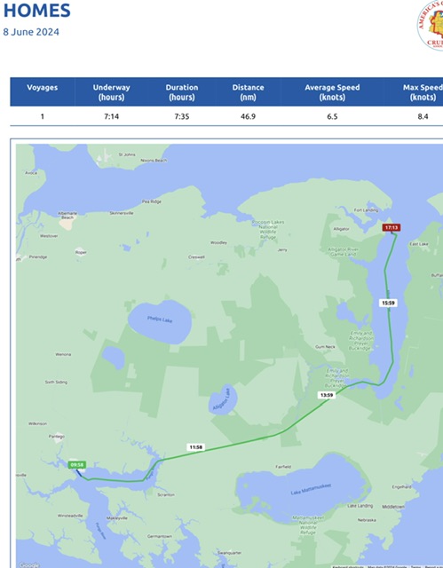
Today, we were underway 7 hours and 14 minutes, going 54 miles (46.9 nm), at an average speed of 7.5 MPH (6.5 knot). We had a leisurely morning even though we had a long voyage. There is no use rushing to an anchorage, which has nothing to do.

Around 10:00 AM, we unhooked and backed out onto Pantego Creek and swung HOMES east, back toward the Pungo River. After passing through Bellhaven’s breakwalls, we emerged back onto the Pungo River. Despite these breakwalls, we were told by the locals that the river still floods the streets at times. We enjoyed our time in Bellhaven. It had a “real town” feel. We felt like we were the only non-locals, but we were made to feel welcome. The cashier at the grocery store asked us if we were visiting on our boat. We laughed and asked if it was that obvious. She said it was because we didn’t have a store courtesy card and had our own insulated bags. I’m guessing our funny accent gave us away too.

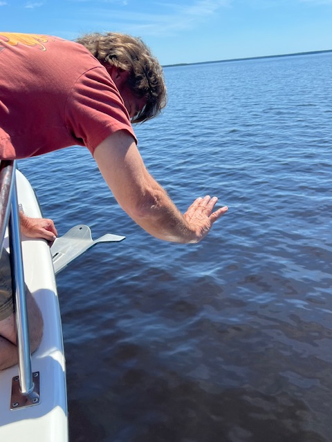
The Pungo River took us to the Alligator River-Pungo River Canal – a 21-mile long canal on the ICW that connects the two rivers. The long, straight canal was built from 1922-1935 and was one of the last sections of the ICW to be completed. The canal is scenic and wooded. The last time through this canal, we saw an eagle and some wild turkeys, but today, all wildlife eluded us. However, we were joined by some dolphins on our way to the canal. The brown water makes it hard to see them swimming along with out bow.

Once out of the canal, we emerged onto the wide Alligator River on the Ablemarle Peninsula. The river is protected as part of the Alligator River National Wildlife Refuge, which was established in 1984 to protect the rare pocosin wetlands and their associated wildlife. Pocosin wetlands are bogs with sandy peat soil and woody shrubs throughout. The refuge also protects swamp forest that is fringed with fresh and brackish water marshes. We weren’t lucky enough to see any black bears, river otters, or red wolves. This is the only place in the world where you may see the endangered red wolves in the wild.

Our anchorage tonight was just on the other side of Rt. 64 Swing Bridge that takes people over the Alligator River and out to the Outer Banks of North Carolina, i.e Roanoke Island, Nag Head and Kitty Hawk. This bridge is a narrow, two-land road that was completed in 1962. Thanks to help from the federal infrastructure investment law, the North Carolina Department of Transportation is planning to replace this aging structure with a tall, fixed-span bridge. I’m sure the car traffic will appreciate that! The bridge opened a few miles before we got there and had traffic really backed up on both sides. So, we radioed the bridge tender and said that we’d slow down to let him clear some traffic. He thanked us and said that the “traffic is hot today.” The traffic had thinned by the time we requested the bridge to be swung, but we still caused quite a backup.

The Alligator River is wide and and shallow outside the channel. Add to that some wind, and we had a rocking and rolling night, but we slept well.

Sunday, June 9, 2024 – Alligator River (Alligator Bridge Anchorage) to Elizabeth City, NC (Anchorage at Mid-Atlantic Christian University dock)

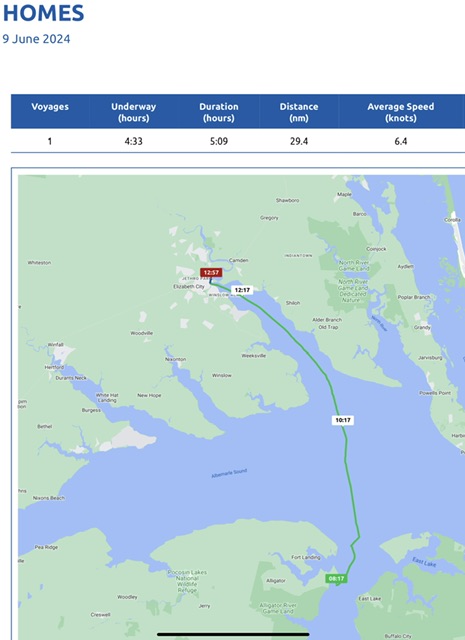
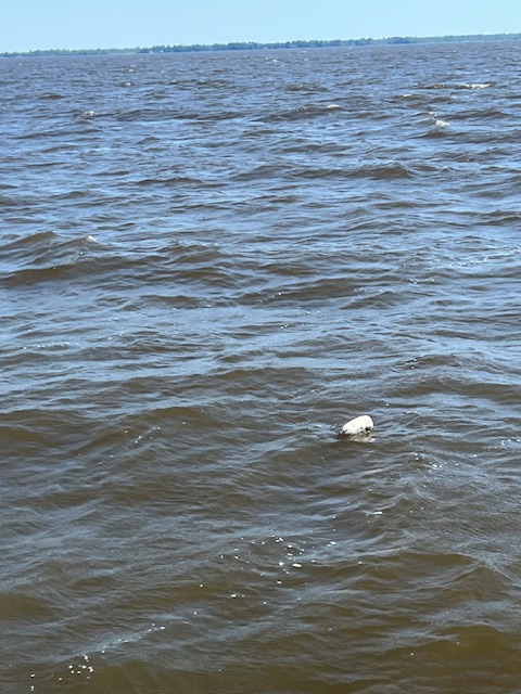
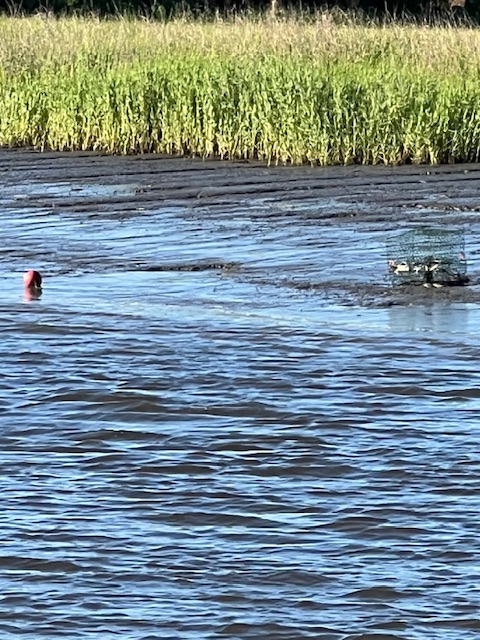
Today, we were underway 4 hours and 33 minutes, going 34 miles (29.4 nm), at an average speed of 7.4 MPH (6.4 knots). The wind persisted all day, so our trip across Albemarle Sound was choppy. As we entered the Pasquotank River, the waves subsided a little, but the number of crab pots to dodge increased. That is what we remembered about this area – lots of the crab pots!

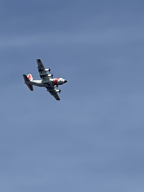
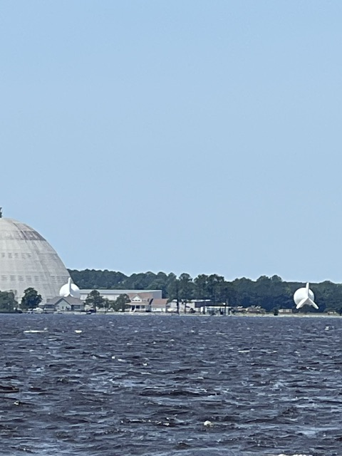
As we neared Elizabeth City, we saw two Coast Guard planes landing at the U.S. Coast Guard Station. Also, this time when we passed the Weeksville Dirigible Hanger, there were three dirigibles sitting outside. If you recall from my blog two years ago, this hanger was built in 1941 as an airship manufacturer in WWII. The dirigibles were a key part the defense against German U-boats long the North Carolina Coast. It is now a privately held company in the business of dirigibles again.

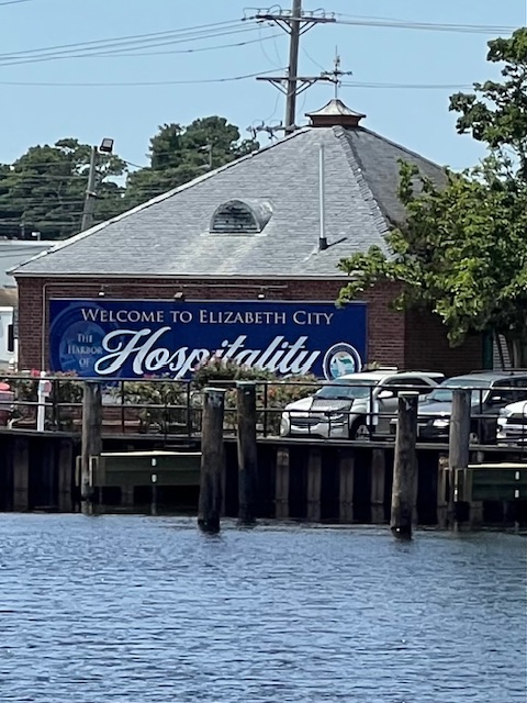
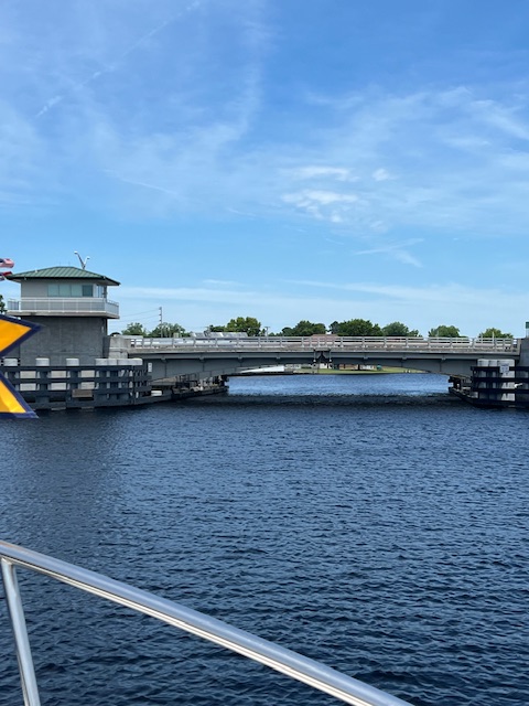
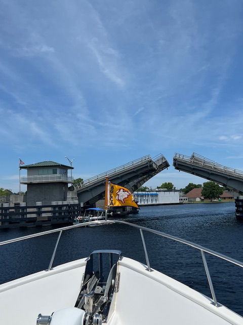
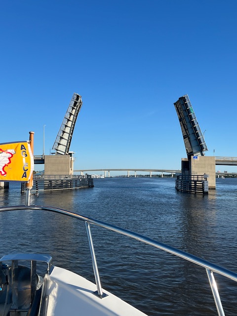
Once we rounded the sharp bend in the Pasquotank River in downtown Elizabeth City, the drawbridge appeared. Tim had radioed the operator ten minutes before our arrival, so the he’d know we were coming.

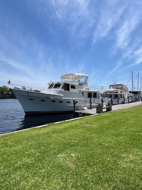
Once through the drawbridge, the dock at Mid-Atlantic Christian University was just to our left. We had called ahead, so there was an employee of the university waiting to help us, along with the guy on the boat in front of us – also a Defever!

We are now docked and ready to walk into Elizabeth City. Last time we were here, Tim got his long hair cut short. That was one of our most commented on Facebook posts.😁 We will stay in Elizabeth City until Tuesday morning.

We’ll see you next week as we go through the Great Dismal Swamp and make our way to Portsmouth, VA (just across the Elizabeth River from Norfolk, VA).

Thanks for reading!


Beth


Beth

Blog

May 27 – June2, 2024 – St. Catherines Island, GA to Wilmington, NC

Highlights this week: Being nearly stranded in the dinghy; getting HOMES stuck in the mud; revisiting our favorite marinas –Kilkenny Marina and Wacca Wache; and, visiting new favorite spots of Isle of Hope, GA and Wilmington, NC.

Monday, May 27, 2024 – St. Catherines Island, GA (North Newport River Anchorage) to Richmond Hill, GA (Kilkenny, Marina)

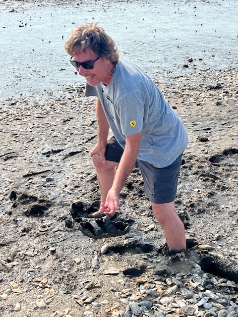
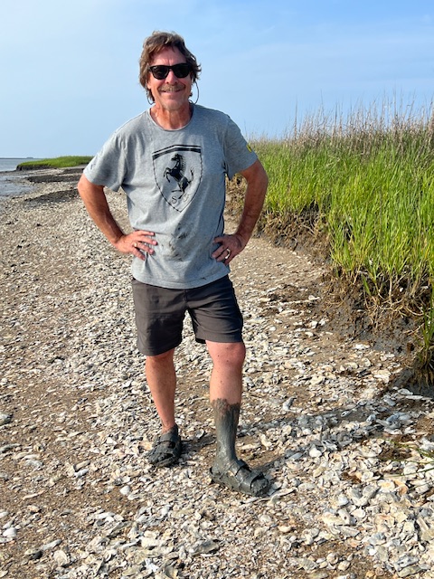
When we left you last Sunday, we were heading off in the dinghy to go walk on the sandy beach of St. Catherines Island. However, we ended up on Walburg Island instead, which is a small island separated from St. Catherines Island by Walburg Creek. This beach was made up of oyster shells, and was very muddy at low tide. I found some neat shells, but Tim nearly lost his sandals.

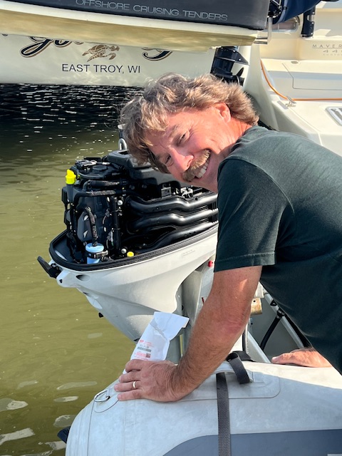
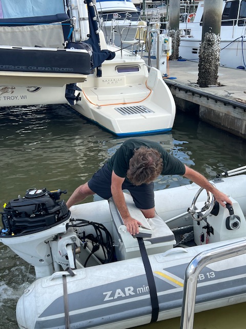
On our way from Walburg Island to St. Catherines Island, we were zipping along and all of a sudden, the motor began to sputter. So, unfortunately, we had to stop exploring. However, fortunately, we made it back to HOMES – going barely above idle for almost a mile! That was a long mile! I was getting ready to paddle. Another project for Tim tackle.

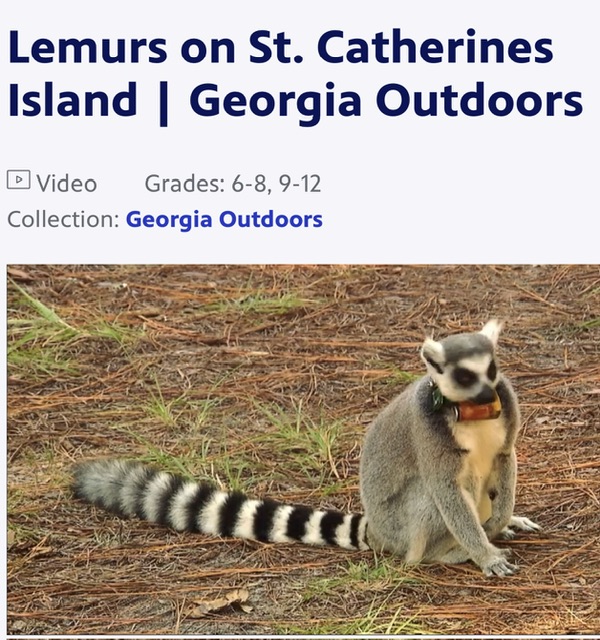
If we would have made it to St. Catherines Island, we might have seen lemurs! This is the only place outside Madagascar where lemurs run free. They came to St. Catherines Island as an experiment to increase the population of this endangered species.

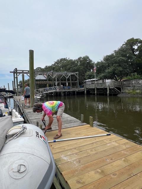
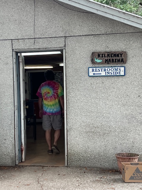
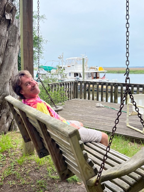
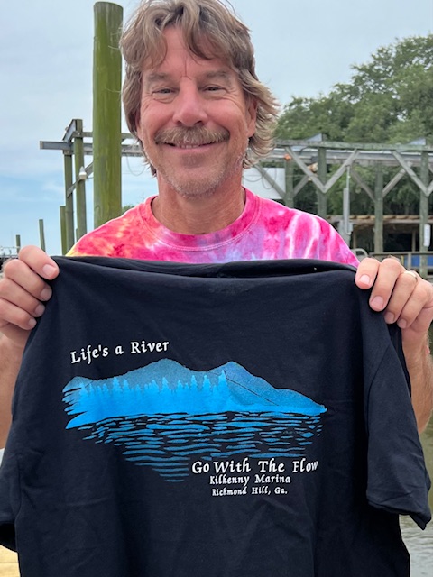
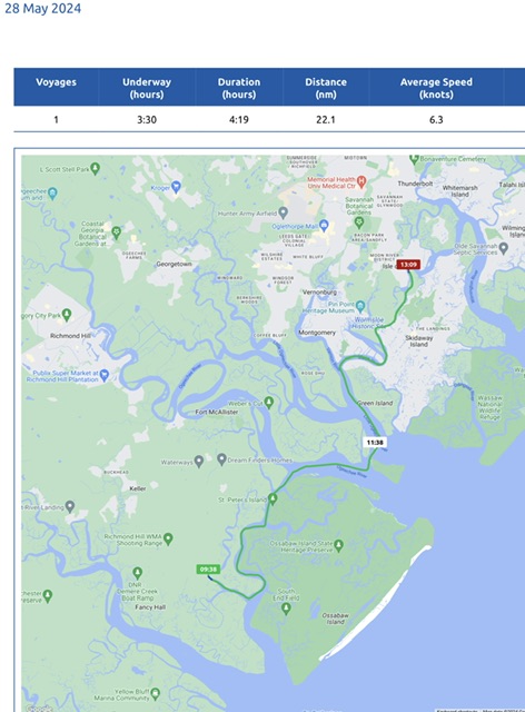
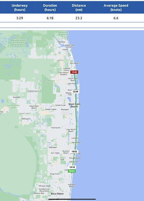
We stared our week today with a short cruise of 1 hour and 47 minutes, going 12 miles (10.5 nm), at an average speed on 6.8 MPH (5.9 knots). As the hours and the map indicate, we didn’t go far today. Why? We had to stop at Kilkenny Marina in Richmond Hill, GA! Tim fell in love with this small river marina when we stopped here in June 2022. He loves everything about this marina -from the laid back old guys who run the place to the homemade floating dock with cut-off 2×6 boards instead of cleats. While we’re trying not to repeat stays on this trip, some deserve a repeat.

The current gave us a push after St. Catherines Sound, so Tim called the marina to let them know we’d be arriving early. The guy on the phone told us to slow down a bit, because they had to move some boats around. As we wound our way up the marshy Kilkenny Creek we could see small boats moving and a guy standing on the dock waving us in.

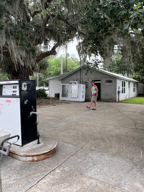
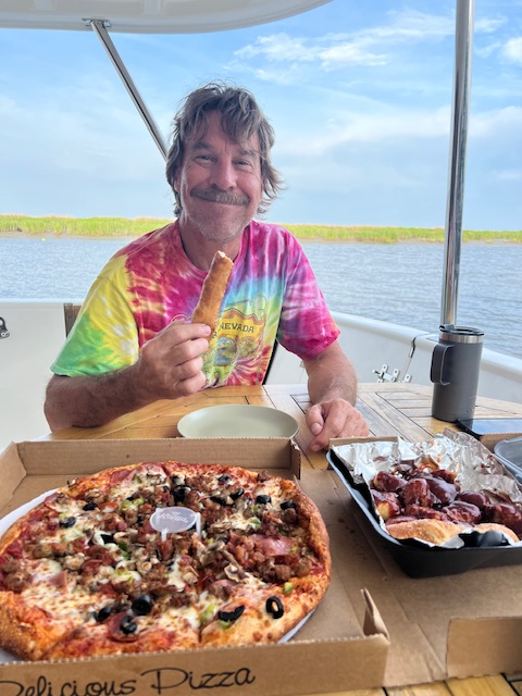
The marina was just as we remembered it! Just like in 2022, we ordered pizza, delivered right to the dock. Zoner’s Pizza Wings & Waffles is the only place that will deliver to the marina, which is 11.5 miles from Richmond Hill. Zoner’s is owned by a man named Stoner, but the town wouldn’t let him put up a sign saying “Stoner’s Pizza,” so he changed the name to “Zoner’s.” Tim was eating up the local gossip as much as the food. 😁

Tuesday, May 28, 2024 – Richmond Hill, GA (Kilkenny Marina) to Isle of Hope, GA (Isle of Hope Marina)

Today’s voyage was another short one. We were underway 3 hours and 30 minutes, going 25 miles (22.1 nm), at an average speed of 7 MPH (6.3 knots). We chose our destination of Isle of Hope Marina for two reasons: 1) we had already explored nearby Savannah; and, 2) the marina has a courtesy car.

Since today was a short cruise, we lingered at Kilkenny Marina, enjoying coffee on the back deck. Around 9:00 AM, we retraced our track up Kilkenny Creek and back out onto the ICW aka Bear River and followed it to Ogeechee River. The cut over to Little Ogeechee River is called Hell Gate. The depth inside the channel is okay, but the width of the channel is only about 50-75 feet wide. Tim was not as intimidated by Hell Gate this time around, and steered us safely through.

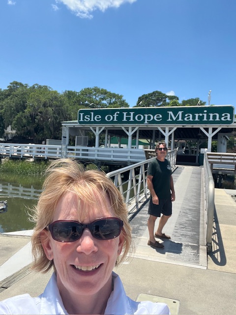
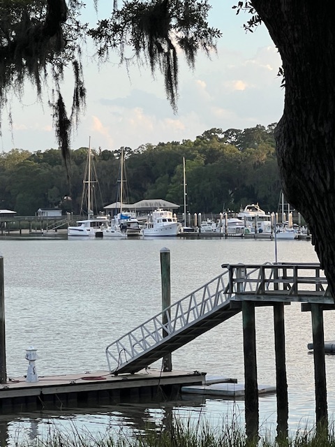
Once we cleared Hell Gate, we cruised up the Skidway River to Isle of Hope Marina. Isle of Hope has dates back to colonial times and is listed on the National Register of HIstoric Places. This coastal riverside community is an island at high tide, but otherwise is a peninsula. Until the 1840s and 50s, Isle of Hope was a small colony of fisherman and farmers. However, at that time, it began to grow as a summer retreat for Savannah’s elite. Being only 8 miles from the busy port city of Savannah, the elite came here to escape the heat and mosquitoes of the city. Its popularity as a summer retreat increased with the expansion of the railroad line after the Civil War. By the early 1900s, it had become a suburb of Savannah, with year-around residents.

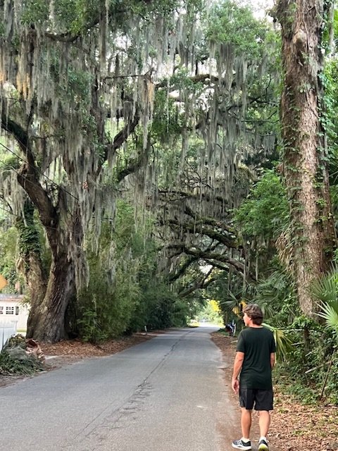
The marina sits along the historic district, just below Bluff Road. This road makes a crescent-shape as it follows along the Skidway River and is lined with huge old live oaks and historic homes. Our evening walk took us past a a wood-framed Catholic Church built in 1874.

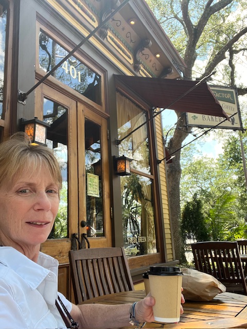
On the cruise to the marina, we called and reserved their courtesy car. Last night, Tim got online and found a fuel filter for the dinghy at a marine store about 8 miles from the marina in Savannah. On our excursion with the courtesy car, we also found a cute organic coffee shop/bakery –Mate Factor. The coffee, scone and date bar were so good! We also bought a loaf of organic roasted red pepper, Asiago bread, which was delicious. I got online to learn more about the company and found that it is actually run by a World-wide Christian commune, called Twelve Tribes, which some are calling a cult. I don’t want to go down that rabbit hole of seeing what they believe, but I can say that organic-farm communes produce delicious food!

Our last stop with the car was Kroger. After shopping at Winn-Dixie, Piggly Wiggly and Publix, it felt like home again – downloading coupons and seeing our usual products! After unloading our groceries, Tim spent the evening trying to fix the dinghy motor. Unfortunately the new fuel filter didn’t help the idling problem.

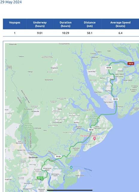
Wednesday, May 29, 2024 – Isle of Hope, GA (Isle of Hope Marina) to Coosaw River/ Judge Island, SC (anchorage)

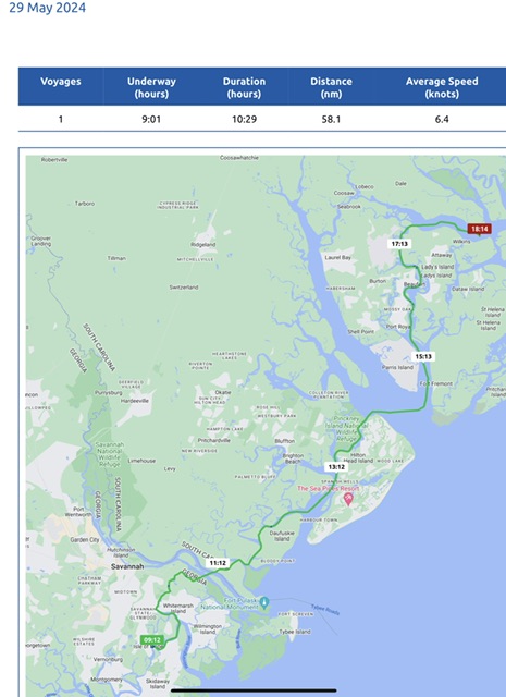
Today, we were underway 9 hours, going 67 miles (58.1 nm), at an average speed of 7 MPH (6.4 knots).

Before leaving Isle of Hope Marina, we had our waste tank pumped out. It wasn’t needed, but it will probably be a week before we get to another marina.

Shortly into our cruise, we entered South Carolina! In our quest to visit new places, we passed by two of our favorite South Carolina stops from last time – Daufuskie Island and Beaufort. To put our location in perspective, today, we also passed by Hilton Head Island and Parris Island, the Marines recruit training depot.

It was a beautiful day, so we extended our cruise by another 2 hours and ended at an anchorage on the Coosaw River, near Judge Island, SC. After dinner on the back deck, Tim adjusted our route for tomorrow, since we extended our day today.

Thursday, May 30, 2024 – Coosaw River/ Judge Island, SC (anchorage) to Charleston County/ near Mary Island, SC (anchorage)

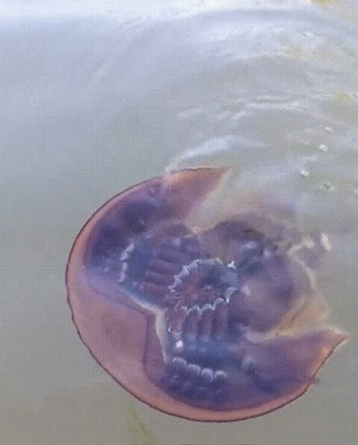
Today, we were underway 9 hours and 42 minutes, going 70 miles (61.1 nm), at an average speed of 7 MPH (6.3 knots). While lifting the anchor this morning, we saw a big horseshoe crab swim by the boat. At first Tim thought it was a small ray. I thought maybe a jellyfish. Then, we saw the crab feet and shell more clearly, as it swam by on its back. A Goggle search told us that horseshoe crabs (not really crabs) do swim upside down, using their gills to propel themselves. It says it’s unusual to see them swimming because they usually crawl on the ocean floor. Perhaps we disturbed him when we pulled up the anchor.

Horseshoe crabs are “living fossils,” meaning that they have exited nearly unchanged since well before even the dinosaurs. They are important to the marine ecology. Female horseshoe crabs lay about 4,000 eggs, which is a food source for more than 20 species of migratory birds stopping over in May on their flight from South America to the Arctic – some of these birds are nearing extinction. The horseshoe crabs also serve as a food source for loggerhead sea turtles. The number of horseshoe crabs is declining, so their nesting locations are now being logged and protected.

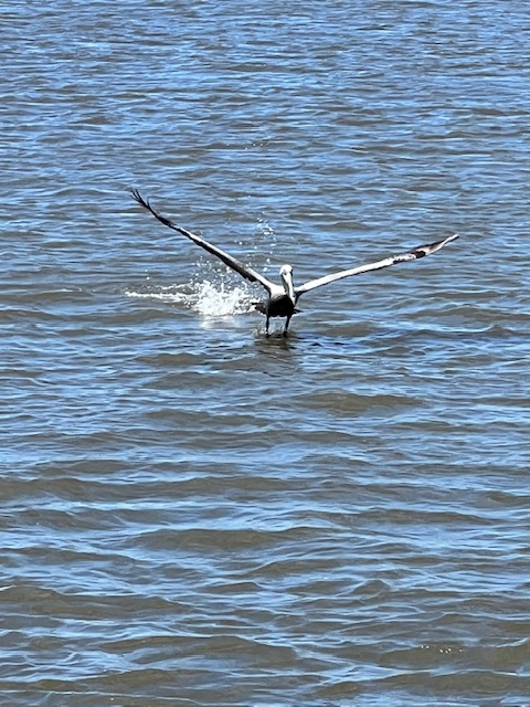
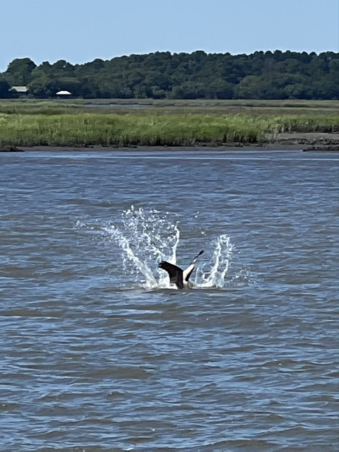
Our wildlife entertainment continued throughout our voyage. The pelicans were flying everywhere around us. When they dive for fish, it looks like they are diving in the water. However, they actually hit the brakes, reaching with their necks, as their beaks cuts through the water and then opens to engulf the fish in their expansive pouches. Then, with a little flip of their heads, down the hatch goes the fish. An adult can eat up to 4 lbs. of fish per day.

After leaving our anchorage this morning, we continued on the Coosaw River to the cut that took us over to Rock Creek. This cut seemed a little tighter and shallower than Hell Gate yesterday! However, it was also low tide.

We eventually came to the cut taking us from the Stono River to Wappo Creek, which dropped us into Charleston Harbor. We stayed in Charleston last time around from June 24 – 28, 2022. During that stay, we meet up with the guy who bought the sailing dinghy that came with HOMES. In our quest to find new cities to explore, we bypassed Charleston, but marveled at the waterfront historic mansions and the many church steeples, which give rise to Charleston being called the Holy City.

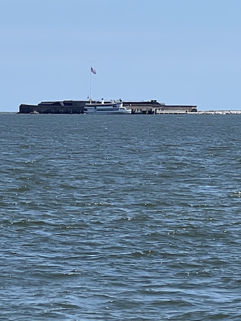
As we crossed Charleston Harbor, we saw Fort Sumter off in the distance – an important fort in the American Revolution, but more notably as where the first shot of the Civil War occurred. Once across the Harbor, we re-entered the ICW and followed it along behind Sullivans Island and Isle of Palms to our anchorage back and little curving channel through the marshes, just past Mary Island. South Carolina has about a half-million acres of salt marsh – more than any other Atlantic coast state. Twice-daily, tides alternately flood and drain this vast low-lying area inland from the Atlantic Ocean. These marshes serve as an important marine habitat, filter out sediments and toxins from the water and buffer the mainland by absorbing storm surges, thereby reducing erosion of the coastline. In addition to these important duties, the salt marshes are simply beautiful! It was a lovely evening with several dolphins lazily swimming around, totally ignoring our presence.

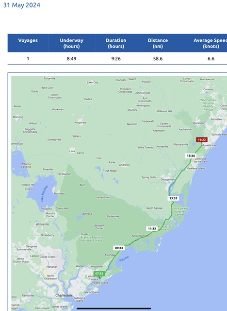
Friday, May 31, 2024 – Charleston County/ near Mary Island, SC (anchorage) to Murrells Inlet (Wacca Wache Marina)

Today, we were underway 8 hours and 49 minutes, going 67 miles (58.6 nm), at an average speed of 7.5 MPH (6.6 knots).

Well…saying “underway” was almost a stretch for much of the day. It was more like slugging through mud. Our morning began by getting stuck in the mud leaving the anchorage. Yes, we were stuck for at least 5 minutes! Tim wiggled HOMES around using the thrusters and reverse and finally we began floating again! To avoid getting stressed, I just continued with my normal post-anchoring chores of washing down the deck of mud and drying it off. Before I even finished, Tim had HOMES moving again and re-entering the ICW.

However even the ICW channel was shallow today. Granted, we were on a rising tide in the morning, but even so, we should not have been slugging through mud. We could tell when we lost steering control that we were pushing through mud again. At one point, our depth gage read 4’4’’. HOMES takes 4’8” to float. However, just like the marina owner in Mobile, AL told us, “It’s just soupy, you won’t get stuck.” However, this morning at the anchorage when the depth gage read 3’3’’, we were stuck!

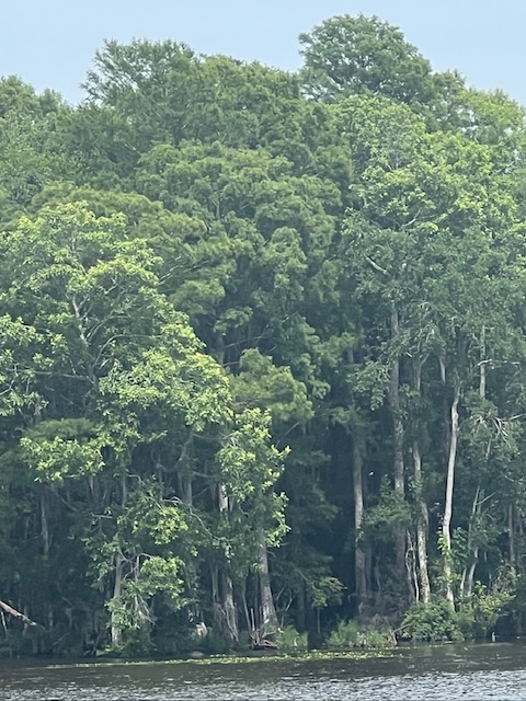
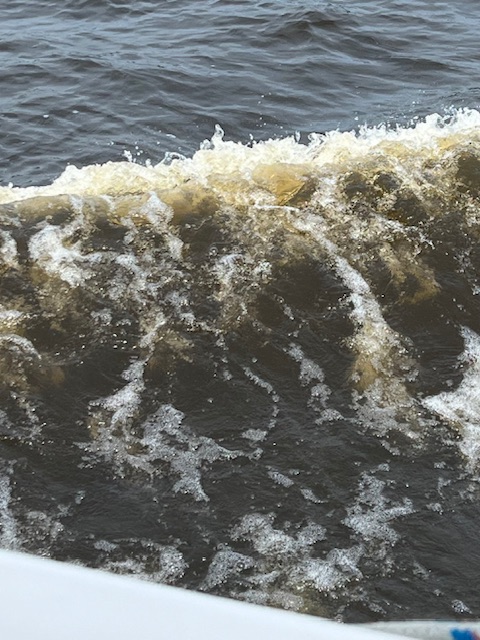
Finally, the channel widen and got deeper. The scenery also began to change. While we began our day in salt marshes, we ended our day on the Waccamaw River lined with large cypress and oak trees. This freshwater tidal river, which begins in North Carolina, is considered one of the finest blackwater rivers in the Southeast. It is called “blackwater,” but is more of a tea or coffee color from tannins leached from plants and trees along the banks as the tide rises and falls. This nutrient-filled freshwater wetland ecosystem isn’t just important for the diverse wildlife habitats, but it plays a critical role in the filtration and storm water retention for drinking water of the Grand Strand region – the 60-mile arc of beach land, including Myrtle Beach.

Saturday, June 1, 2024 – Murrells Inlet, SC (Wacca Wache Marina) to Holden Beach, NC (Transient Dock)

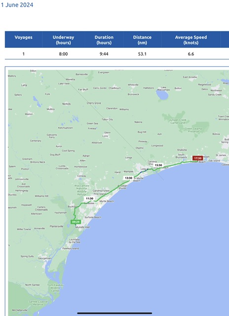
Today, we were underway 8 hours, going 61 miles (53.1 miles), at an average speed of 7.5 MPH (6.6 knots). It was definitely a Saturday on the water! There were boats and jet skis galore! However, Tim just kept his course and said it was less stressful than the shallow water of yesterday.

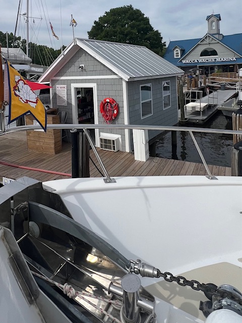
We fueled up at Wacca Wache Marina before leaving, so we didn’t pull away from the dock until around 9:30 AM.

Our voyage up the Waccamaw River began as serenely as it ended yesterday. A resident along the river took a video of HOMES and radioed us to chat. He posted the video on his Facebook page of Show Us Your Boat. In the video, HOMES was speeding by around 8.5 MPH, because of the current. That is fast for us!

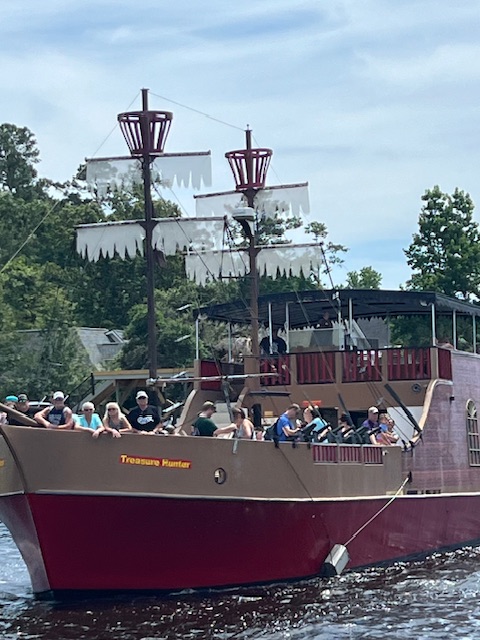
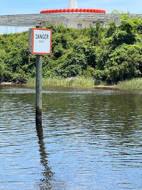
The serenity ended as we came upon Myrtle Beach. Here, the banks on both sides of the ICW became packed with houses, docks, and restaurants. The water became equally as packed. We even encountered pirates. This area of the ICW is also known for its “treacherous” segment called the “Rock Pile.” This is where the ICW was blasted out of solid rock, so there are sharp rocks and ledges poking out along the edges. However, the channel is fine. And, since the channel is where everyone should be cruising anyway, it was as anticlimactic as our first time through.

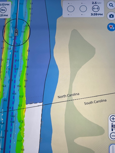
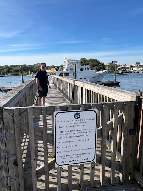
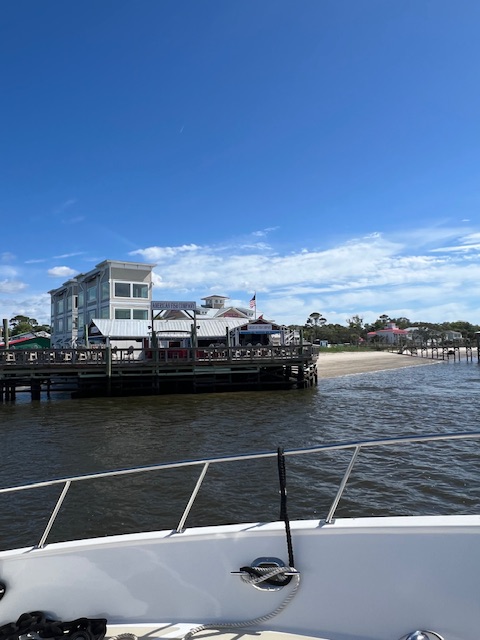
Around 3:20 PM, we crossed over into North Carolina! As we cruised today, we continued to try to call Holden Beach Transient Dock to no avail. Finally, Tim called the restaurant across the ICW from the dock. According to the lady who answered the phone, there were no boats on the dock. So, we passed up our back-up anchorage on the Shalotte River and continued on to Holden Beach. Fortunately, there were still no boats on the dock, because HOMES took up the whole dock! We filled out the form that was online and walked it up the dock to the Holden Beach Police Department, since they were listed as the after-hours contact. We didn’t hook up to their electric, so it was just $1.25/ foot.

After dinner on HOMES, we walked around Holden Beach. It was just lines of vacation/rental houses, but we finally found a path to the Atlantic Ocean that didn’t say “private.” Since it appeared that we weren’t going to find any “locals” to talk in this vacation spot sandwiched between the ICW and the ocean, we bypassed the few restaurants/bars and ended back to HOMES with plans to sit on the deck. However, instead, on the dock with HOMES was a couple from Asheville, NC who were using a fishing net to catch shrimp to use as bait. We ended up talking with them until after dark.

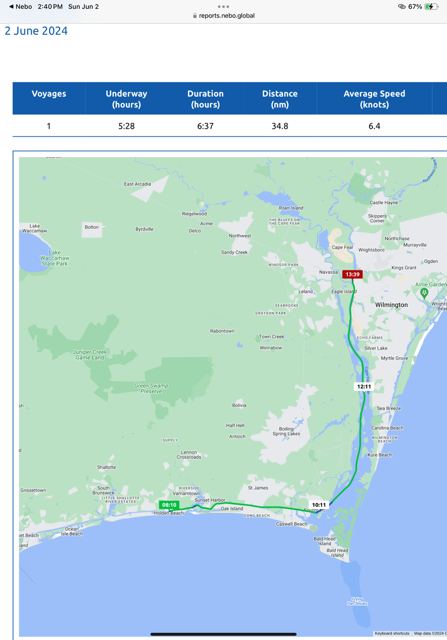
Sunday, June 2, 2024 – Holden Beach, NC (Transient Dock) to Wilmington, NC (Port City Marina)

Today, we were underway 5 hours and 28 minutes, going 40 miles (34.8 nm), at an average speed of 7.4 MPH (6.4 knots).

We pulled away from the Holden Beach Transient Dock around 8:00 AM, still without confirmation of our reservation at Port City Marina in Wilmington. The marina hadn’t answered the phone in two days and hadn’t accepted our online reservation, so I called some Looper friends who are at the marina. While on the phone with them, Tim finally got through to the marina. So, now we have a slip and plans to meet our friends.

Our voyage to Wilmington had us being pushed by and then fighting a mighty current as we rounded Southport, North Carolina and headed up the Cape Fear River. We enjoyed exploring Southport last time around. We didn’t visit Wilmington last time because it’s about 30 miles out of the way. However, from what we’ve heard, it’s well worth the time.

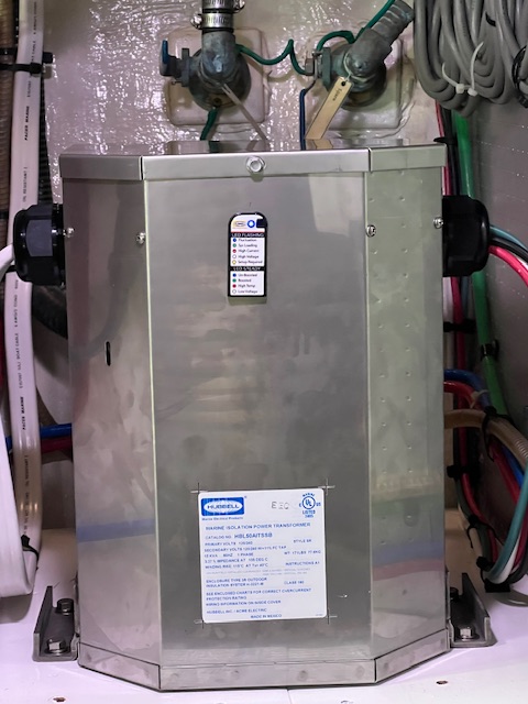
Two dock hands were waiting for us at the long floating pier that will be our spot for tonight. We had some issues getting electric. Our new GFCI breaker popped continuously. Tim finally discovered, by moving our cord to a different pedestal, that it was a faulty breaker in that power pedestal. Therefore, without our new transformer and GFCI, we could have burnt up the compressors of the air conditions and refrigerator. That’s why we put in this new equipment in St. Augustine and it just paid for itself!

Wilmington is a port city on the Cape Fear River. Its history dates back to colonial times. We are looking forward to exploring the historic downtown and Riverwalk right now. I’ll let you know all about Wilmington next week.

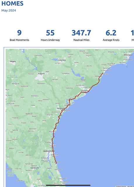
Despite only traveling 9 days in May, we were still underway 55 hours, going 400 miles (347.7 nm), from St. Augustine, FL to Murrells Inlet, SC.

While the currents slow us down as well as speed us up, we had an average speed of 7 MPH (6.2 knots), with a maximum speed of 12 MPH (10.6 knots). Not a fast life, but definitely eventful!

We’ll see you next week. On Tuesday, we plan to do a 10-hour cruise in the Atlantic Ocean to get around a bridge closure. We also plan to stop at some new towns.

Thanks for reading!


Beth


Beth

Blog

May 13 – May 26, 2024 – St. Augustine, FL to St. Catherines Island

Highlights: Finally getting all of our maintenance and upgrades done on May 21; leaving St. Augustine on May 23; getting out of Florida and into Georgia on May 24 (we entered Florida from Alabama on the Gulf Coast on Feb. 10th); seeing lots of wild animals on Cumberland Island; and, our 29th wedding anniversary today -May 26th!

Wednesday, May 15, 2024 – St. Augustine, FL (Oasis Marina) – Back in the water!

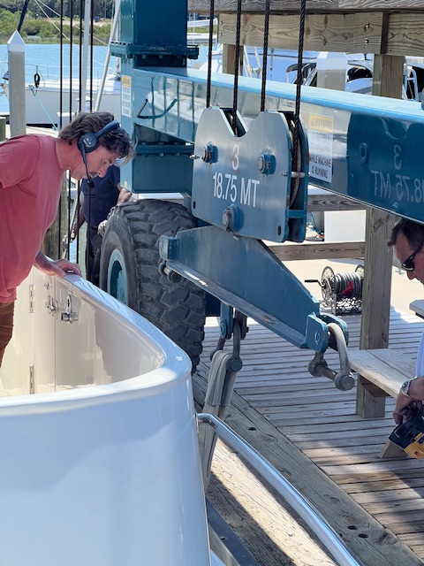
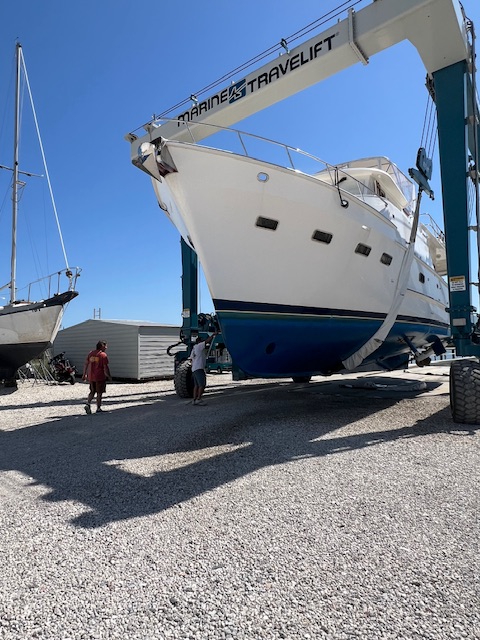
Happy day – going back in the water, after coming out of the water on April 15th! HOMES was lifted from her concert pad by the travel crane, driven about 50 feet and lowered into the water. Tim turned on the engines and began reversing out of the slings; however, the thrusters weren’t responding correctly – when he pushed right and the boat went left. John said that his guys must have put the thruster props on backwards after painting the bottom. Tim was having trouble wrapping his brain around doing things in reverse. After some moments of panic and commotion, John jumped on board to help Tim, i.e by saying push left when we wanted to go right. Because of the swift current of the San Sebastian River and backing into a slip that is at an odd angle, thrusters were definitely needed.

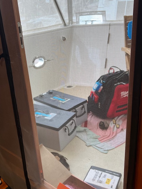
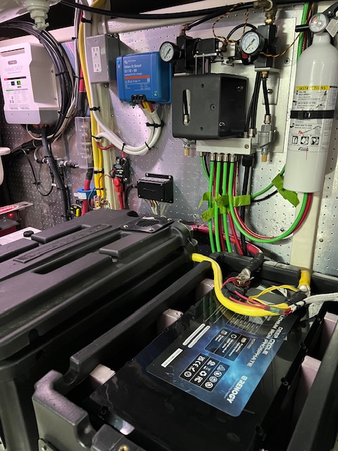
After getting tied up in the slip, the guy from Florida Yacht Support got back on HOMES and finished installing our new lithium iron phosphate batteries. The original batteries that they ordered were discontinued, so it has taken an extra week to get the two new batteries and new battery charger installed. However, it was fortunate that he was here, because he fixed our thruster problem by switching two wires on the motors of the thrusters – so much easier than having a diver switch the props around under water!

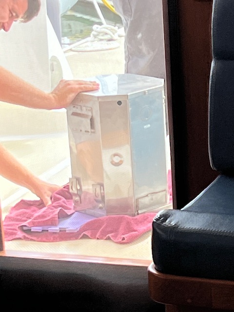
This evening, we were feeling very good about today’s progress. We were euphoric about being able to use our bathrooms and washer and dryer again! However, the euphoria was somewhat diminished when our new isolation transformer began shutting off and restarting. At first we were in denial, but then Tim went into the engine room and saw an error code on the screen. He looked it up in the manual and learned that it meant our Leg 1 voltage was out of expected range. We didn’t have this problem when living on land, but we didn’t use Leg 1 on land.

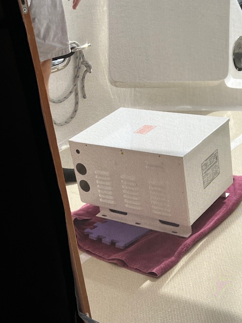
On Thursday, May 16th, Florida Yacht Support came out, but had no answers. They scheduled a consultant to look at the transformer next Wednesday. John, the marina owner, was having none of that! He had his own consultant out the next day. John’s consultant determined that we have the wrong transformer and he recommended the correct one. John promptly called Florida Yacht Support and gave them the name of the correct transformer and told them to order it today, so it would be here Monday. Instead, Tim got a text from Florida Yacht Support in the evening saying that they found a work-around by getting a similar transformer and re-wiring the water maker. Tim texted John to see what he thought. Shortly after that, Tim got a call from Florida Yacht Support saying that they decided to install the one John’s expert recommended and they would be driving to Ft. Lauderdale (over 4 hours away) on Monday to pick it up, with installation on Tuesday. We are so glad to have John handling the contractors. He is a perfectionist, like Tim.

Now that we are in the water, we have air conditioning again. So, all day Thursday, May 16th, I cleaned away the dust that had accumulated from being in a gravel lot with all of our windows and doors open.

On the morning of Friday, May 17th, the pump-out boat came to pump out our waste tank. The marina does not have a pump-out machine, so we scheduled “Code Brown” to come. I love the creative names that these companies use. In Charleston, the company was called “Bow Movement.” 😂

After the pump out, we had hoped to leave today. However, even without the delay of the isolation transformer, we still couldn’t have left. On Wednesday, May 15th, there was an accident, which resulted in a broken thruster controller. If you remember, from the last blog, it took five guys, five days to buff HOMES three times and wax her. She looked fabulous! Then…while sitting on land, the guy on the boat in the stands next to us sanded his teak trim for three days. The teak dust blew onto HOMES and settled on all of her flat surfaces. Tim tried to wash it off, but we found out that teak dust stains. So, John, the awesome marina owner, took the detailers off one job to have them come back and re-wash and wax the affected areas, on Wednesday, so we could leave on today. However, just as the detailers were finishing up, one guy slipped coming into the flybridge from the roof of the pilot house. Fortunately, he didn’t hurt himself, but he did break the thruster controller with his foot. We told him not to worry about the controller. The fact that he was okay is what mattered. The crew did another great job making HOMES shine like new. However, John came by later to talk. He agreed with us about not charging the detailers, but he insisted on buying the controller, if Tim would install it. We can’t say enough good things about Oasis Marina. The new controller will be here Tuesday. The same day that our new isolation transformer will be installed.

On Tuesday, May 21st, all of the work on HOMES was complete! Florida Yacht Support sent a crew of guys to swap out the old isolation transformer for the new one. While they were finishing up their project, the new thruster controller arrived and Tim hooked it up. Now, we’ll hang around tomorrow to make sure the isolation transformer works well and we’ll take off on Thursday morning!

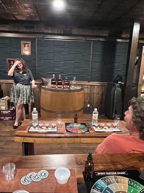
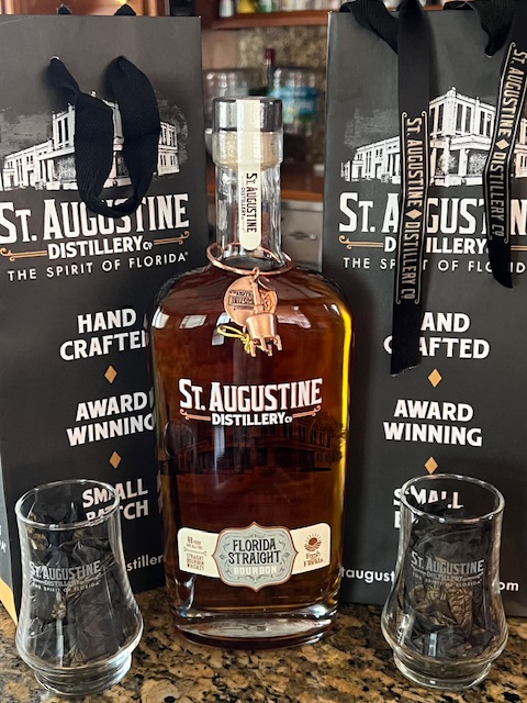
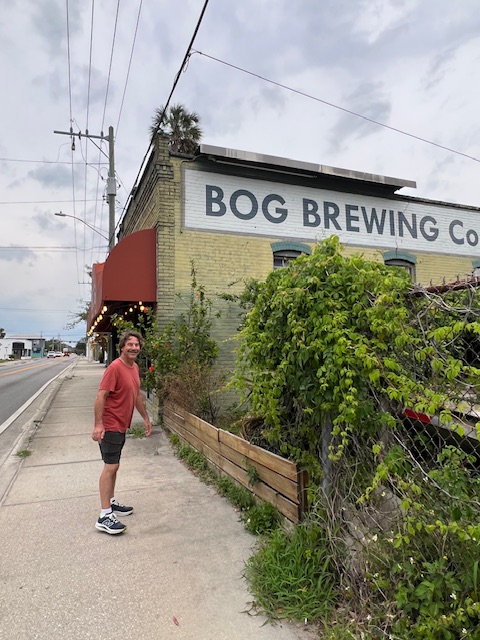
We may have been here about 2-3 weeks longer than anticipated, but what a great place to be stuck! The extra time allowed us to tour the St. Augustine Distillery. We even took a class about Florida Bourbons. Bourbon can be made anywhere in the US – not just Kentucky. Our tour guide, who lives on her sailboat, invited us to the weekly meet up of the St. Augustine Cruisers Net, which is a group of people living aboard in St. Augustine or passing through. This week, the meet up was at BOG Brewing. We had a nice evening talking with the five members who came this week – all living aboard in St. Augustine.

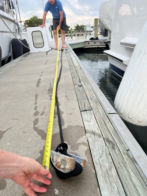
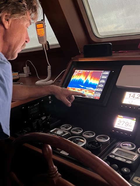
On the evening of Tuesday, May 21st, we were ecstatic that our isolation transformer worked perfectly! We only had two things left on our to-do list – recalibrating the depth finder and getting groceries. On Tuesday evening at high tide, Tim dropped a weighted line down to see the depth of the water and then re-calibrated our depth finder. On Wednesday, May 22nd, we walked to Diane’s Natural Market (Like a Fresh Thyme in Ohio) to stock up on fresh fruits and vegetables. We can almost see Diane’s Natural Market across the San Sebastian River from HOMES; however, it was a 4-mile walk to get there and back. Now, all is set to begin cruising again tomorrow morning!

Thursday, May 23, 2024 – St. Augustine, FL (Oasis Marina) to north of Jacksonville, FL (Sisters Creek Anchorage)

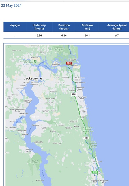
Finally moving again! Today we were underway 5 hours and 24 minutes, going 41.5 miles (36.1 nm), at an average speed of 7.7 MPH (6.7 knots).

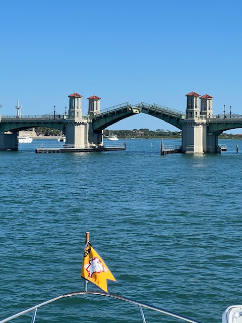
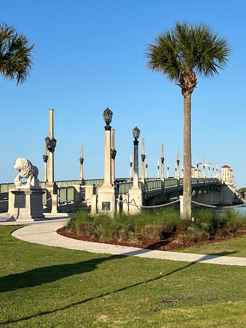
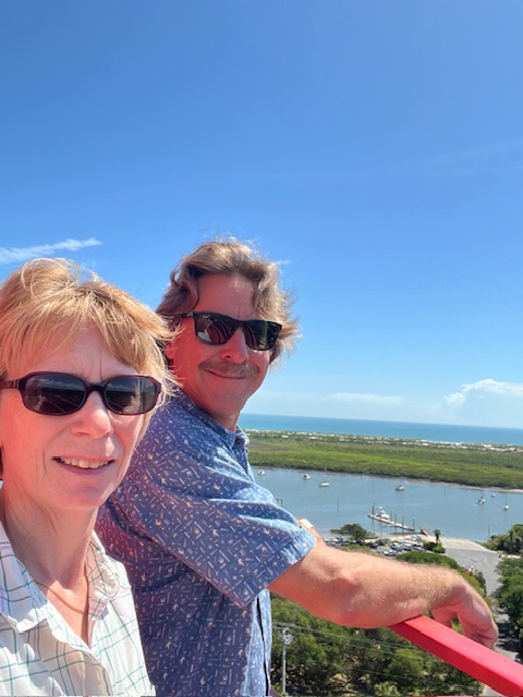
We pulled away from Oasis Marina around 9:00 AM and made our way up the San Sebastian River and turned north on the Matanzas River. On our right, was Anastasia Island and the St. Augustine Lighthouse and on our left was beautiful downtown St. Augustine. We made it just in time for the 9:30 AM lift of Lions Head Bridge. This beautiful bridge, built in 1927, during the extravagant land boom times in Florida, is a work of art.

We marveled at how the landscape today became more rural and grassy. Only one dolphin came to visit today and he wasn’t cooperative about getting his picture taken.

Today, we finally got to put our new batteries to the test! Normally when we’re cruising, we can’t use our appliances. Today, we used the microwave, ice machine, tea pot, and TV without ever starting the generator. The engines charge the batteries as we cruise.

We also got to try out our new anchor. It held on our first try! The anchorage for tonight is the same one that we stayed at two years ago. Last time, we took the dinghy over to a little park – Jim King Boat Ramp. Today, we didn’t go over. There was a fishing tournament going on, so there were vender tents in the park and fishing boats everywhere. We could hear the announcer calling off the winners.

Friday, May 24, 2024 – North of Jacksonville, FL (Sisters Creek Anchorage) to Cumberland Island, GA (Plum Orchard Anchorage)

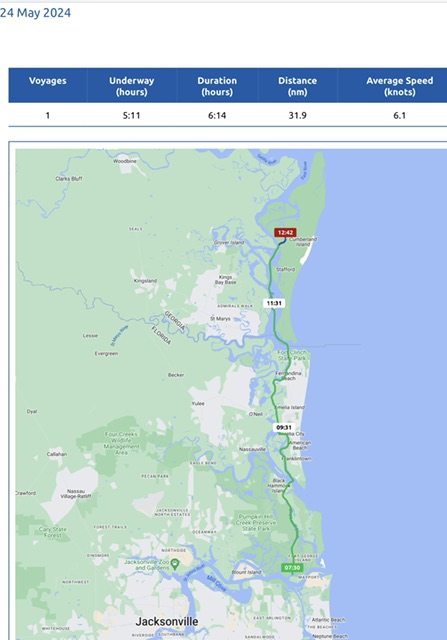
Today, we were underway 5 hours and 11 minutes, going 36.7 miles (31.9 nm), at an average speed on 7 MPH (6.1 knots). We usually turn the generator on in the morning to heat water for the showers, heat water to make coffee and use the microwave. However, our batteries were still at 68% this morning, so still no generator needed!

Our new anchor came up pretty clean this morning and we headed north. We recognized the Amelia River Railroad Bridge and saw where we anchored at Fernandina Beach in 2022. However, this year, we continued on to Cumberland Island – just over the Georgia state line.

Cumberland Island was the vacation grounds of the Thomas Carnegie family from the late 1800s to the 1970s. Thomas was the younger brother of Andrew Carnegie (1835-1919), the famous steel magnate and philanthropist. The island is 17.5 miles long and 36,415 acres, half of which is marsh mud flats and tidal creeks.

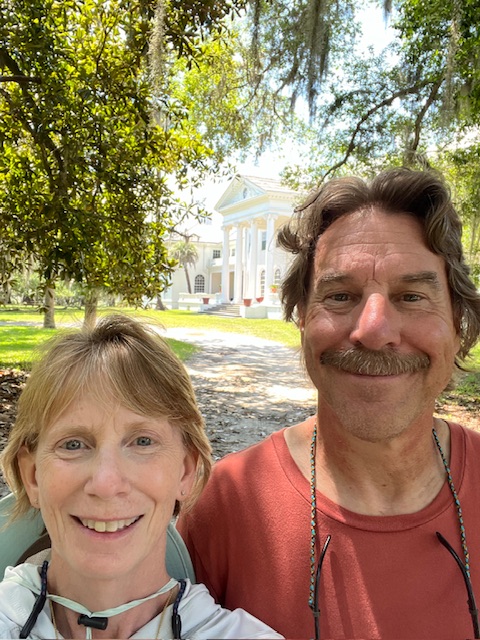
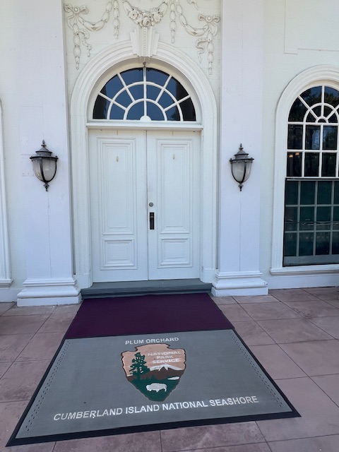
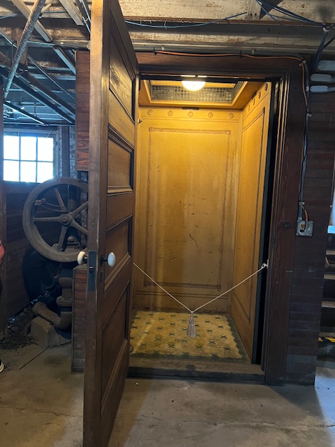
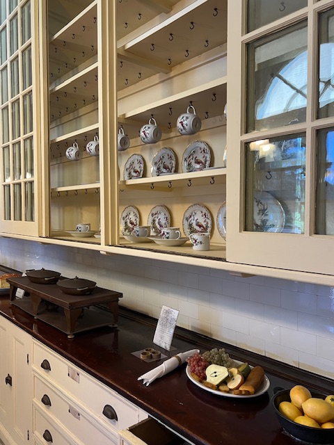
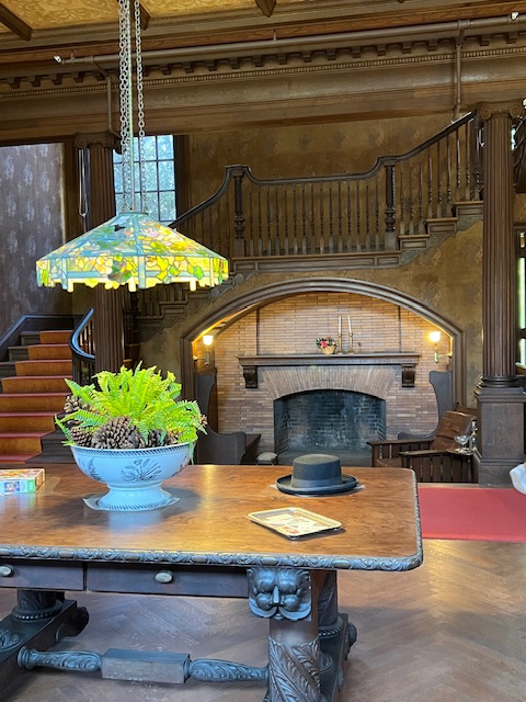
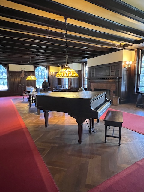
Our anchorage at Cumberland Island was about a quarter of a mile off the ICW, up the East River – near the Plum Orchard Mansion. We took the dinghy to the small dock and paid our $30.00 park fee online. We made it just in time for the 2:00 PM tour of the mansion. This 1898 Georgian Revival home was built by Lucy Carnegie for her son and his wife. The home, which had three additions over the years, was one of the first homes to have an indoor pool (heated by coal), an elevator (hydraulically driven) and refrigeration (twice the cost of a car at the time).

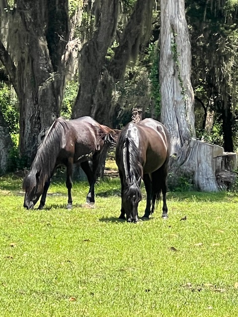
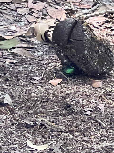
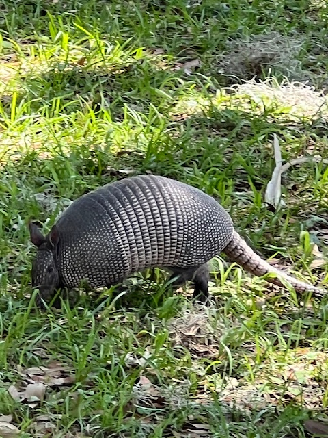
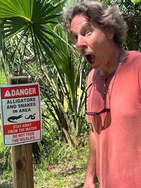
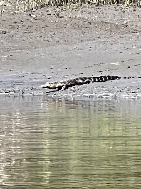
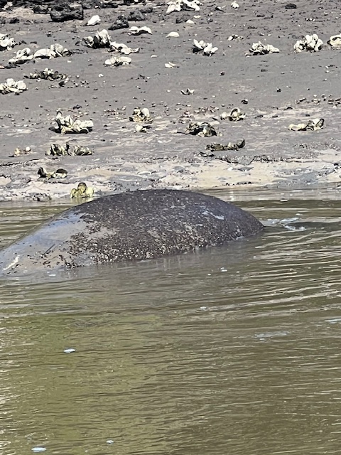
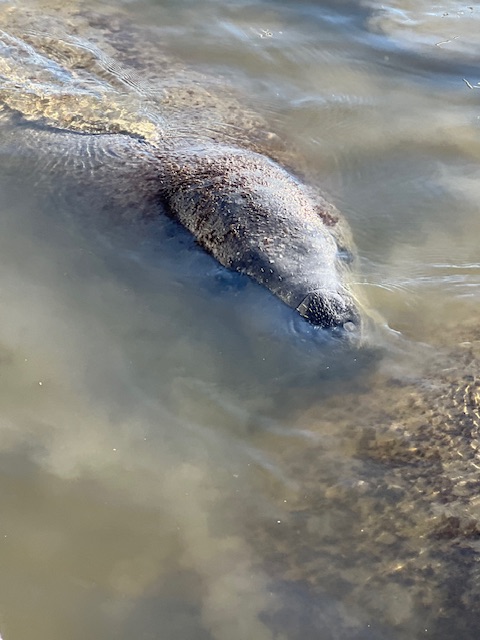
The island is nearly uninhabited by people, so there is wildlife galore! We saw some of the wild horses that roam the island; dung beetles pushing horse poop; an armadillo; two manatees and a little alligator.

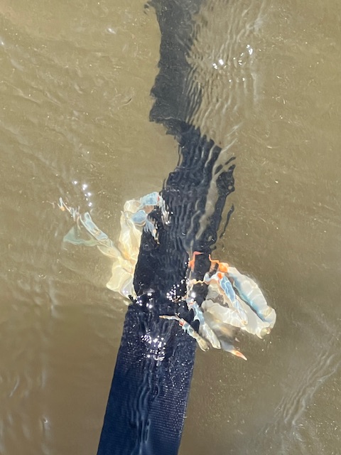
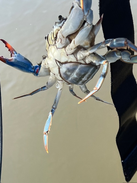
Once we got back to HOMES, Tim found a big blue crab hanging on one of the Freedom Lift straps, when he was lifting the dinghy. A pod of dolphins came by around dusk and entertained us for a few minutes, as we sat on the back deck enjoying the sounds of nature around us. Later, we noticed bioluminescence (emission of light by living organisms) in the water. The lights were very faint, but could be seen where the current was flowing around the anchor chain. What a fabulous day!

Saturday, May 25, 2024 – Cumberland Island, GA (Plum Orchard Anchorage) to Near St. Simons, GA (Cow Island Anchorage on the Altamaha River)

Today, we were underway 7 hours and 30 minutes, going 44.3 miles (38.5 nm), at an average speed 6 MPH (5.1 knots). We went slower today – partly because of current and partly because we were in no rush. At this speed we were only burning 1.1 gallons of diesel per hour, per engine.

While cruising today, we turned the generator on for the first time since leaving St. Augustine. The new batteries were at 24% this morning, after 48 hours. Tim is very pleased with this performance! The batteries charge while we cruise, but by turning on the generator this morning, we could charge them faster.

We pulled up anchor around 8:00 AM and left our serene anchorage. We wound our way back out to the ICW. At the tip of Cumberland Island stood the Little Cumberland Island Lighthouse that has been standing at the entrance to St. Andrew Sound and the Satilla River since 1838. It was deactivated in 1915 and is now privately owned.

After crossing St. Andrew Sound, we cruised past Jekyll Island. You could tell that it is Memorial Day Weekend, because the water was full of power boats, kayaks and paddle boards. However, it wasn’t long before we were away from the hustle and bustle again. Our scenery up the Mackay River was grassy marshland.

When we got to our pre-planned anchorage, Tim wasn’t ready to end the day, so we continued on for another 5 miles through the Buttermilk Sound to an anchorage on the Altamaha River. We are literally in the middle of nowhere. Darian, GA is the closest town. We stopped in Darian at a cute coffee shop when we took our scenic drive from Savannah, GA back to HOMES in St. Augustine, FL.

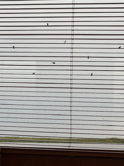
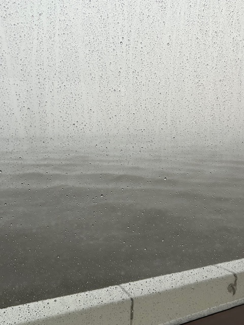
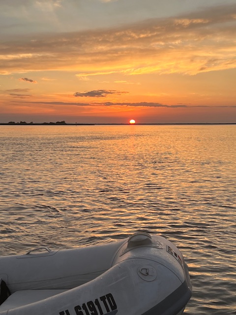
Once we anchored, the cluster files seemed to descend on HOMES. We remember these flies from our 2022 trip. We called them dumb flies because they are large and easy to catch to throw outside. They left while the storm rolled through, but came back for the beautiful sunset.

Sunday, May 26, 2024 (Our 29th Wedding Anniversary!)- Near St. Simons Island, GA (Cow Island Anchorage on the Altamaha River) to St. Catherines Island (North New Port River Anchorage)

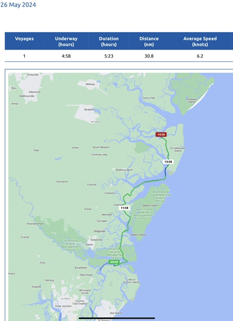
Today, we were underway 4 hours and 58 minutes, going 35 miles (30.8 nm), at an average speed of 7MPH (6.2 knots). We celebrated our 29th wedding anniversary with a leisurely morning and a short cruise. We enjoyed Winans coffee and chocolates on the back deck before pulling up anchor around 10:00 AM. The first 75 feet of anchor chain had grass hanging on it, which didn’t come off well with the hose, but there was too much to pick off. So, we will have to clean out the anchor chain locker at some point.

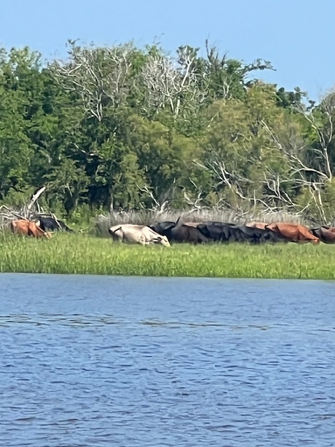
Soon after pulling away from the anchorage, we saw cows on the island! I guess it was called Cow Island Anchorage for a reason! A quick Google search says that Cow Island was named by the farmers in the early 1800s who used the island for gazing animals. The water provided natural protection from predators and was a natural fence that kept livestock from wandering. Goggle didn’t say how the cows got on the island. Maybe they are like the wild horses on Cumberland Island. 😁

Today, our cruise alternated between traveling through grassy low lands to crossing three wide sounds (Althamaha, Doboy and Sapelo), which gave us glimpses out into the Atlantic Ocean. We passed several beaches full of people who traveled there on small boats. In Georgia, the barrier island beaches are open to the public, as long as you have a boat to get there. Tim is putting the dinghy in the water right now, so that we can take the dinghy over to St. Catherines Island to walk along the beach, while it is low tide. The tide here is 7.9 feet!

We’ll see you next week, as our journey continues through Georgia and into South Carolina.

Thanks for reading!


Beth


Beth

Blog

April 8 – May 12, 2024 – St. Augustine, FL – Life in a boatyard!

On this Mother’s Day, I sit here on HOMES, in the gravel boatyard of Oaisis Marina in St. Augustine, FL. However, thanks to technology, I can FaceTime with my mom and Nicholas today, as they spend time together. We have been “boating” on land since our return from Ohio on April 30th. It isn’t ideal – especially showering in the marina’s shower house. I thought my college days of carrying a “bath bucket” were behind me. However, the maintenance and upgrades to HOMES are necessary. If we take care of her, she’ll take care of us. There have been some unforeseen delays, but the new lithium iron phosphate batteries for our inverter should be installed on Thursday. So, hopefully, our next blog will see us back in the water and continuing our voyage north.🤞

It seems like a long time since we’ve last cruised; however, in the month of April, we cruised from Key Biscayne, FL to St. Augustine, FL, traveling 8 days, going 327 miles (284 nm), at an average speed of 7.5 MPH (6.5 knots). We can’t wait to get back in the water and on our way again!

Here’s what we’ve been up to…

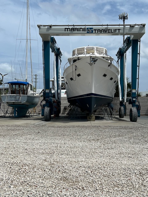
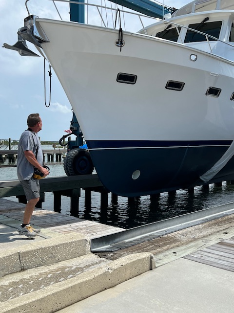
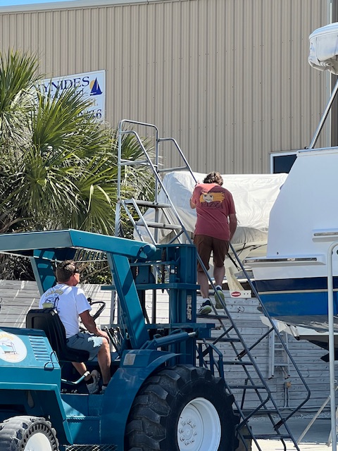
On Monday, April 8th, after taking us 6,125 miles, HOMES came out of the water for her spa treatment. With the arrival of high tide at 3:15 PM, we backed HOMES out of her slip and into the slings of the lift. John, the owner of Oasis Marina, used a remote control unit to drive HOMES in the lift to the concrete pad, which will be her home for the next few weeks.

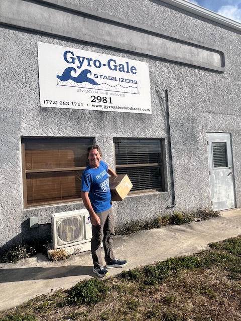
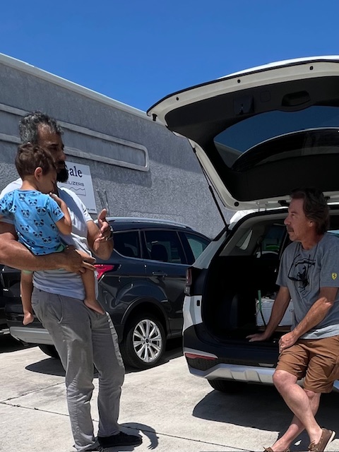
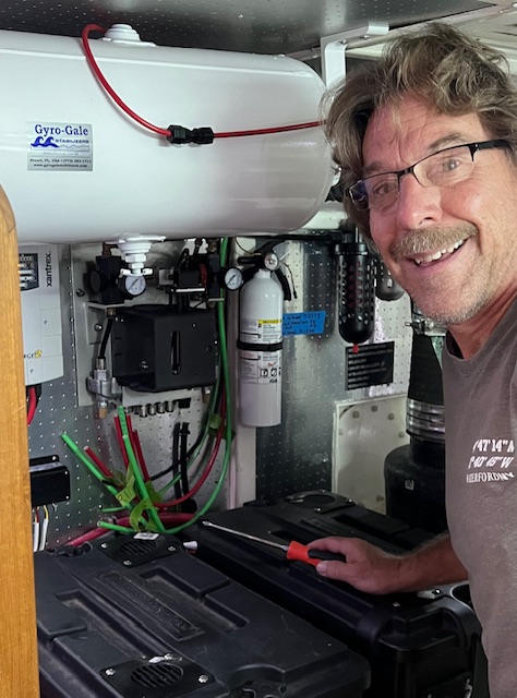
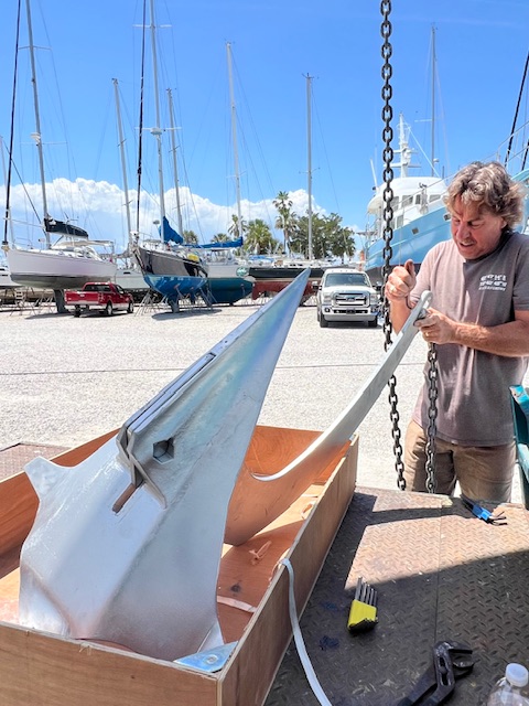
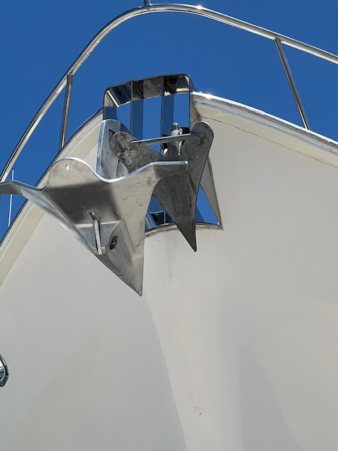
After getting HOMES settled, Tim and I got into our rental car and headed south to Stuart, FL to spend the night. In the morning, we dropped off the control unit of the stabilizers at Gyro Gale, for the rotator valve to be rebuilt. Our next stop did not go as planned. If you recall from other blogs, a weld on our Spade anchor broke. We have been working with Spade and they finally agreed to give us a new anchor, per the warranty. However, once we hauled the anchor into their office, the guy said that the shaft was bent, so they wouldn’t warranty it. So, that was a huge waste of time and energy. The previous owners paid $4,200 for the anchor. We’ll replace it with one costing $1,500 (on sale for $1,000). It won’t be of pretty, shinny stainless steal, but it will do the same job. We are more utilitarian than the previous owners.

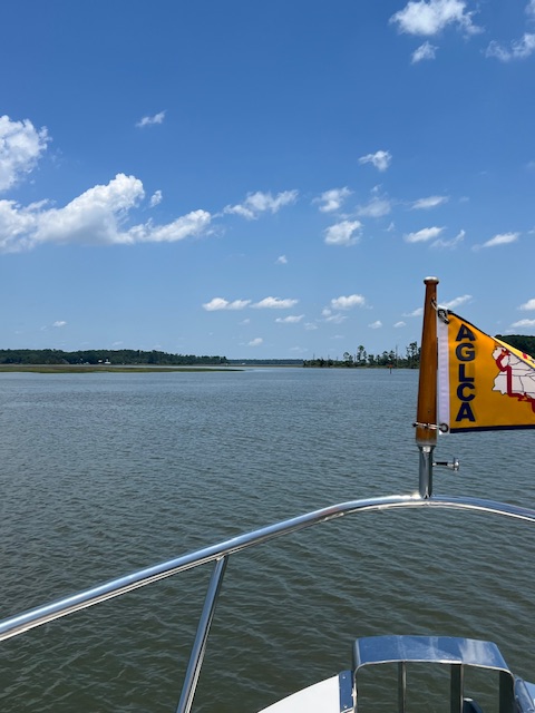
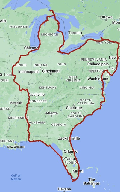
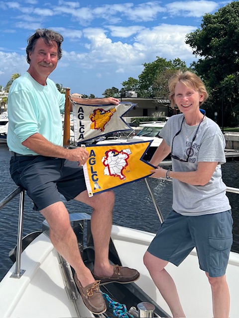
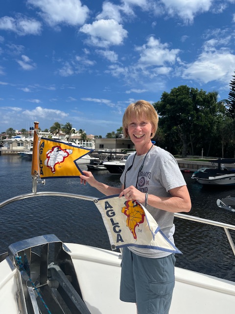
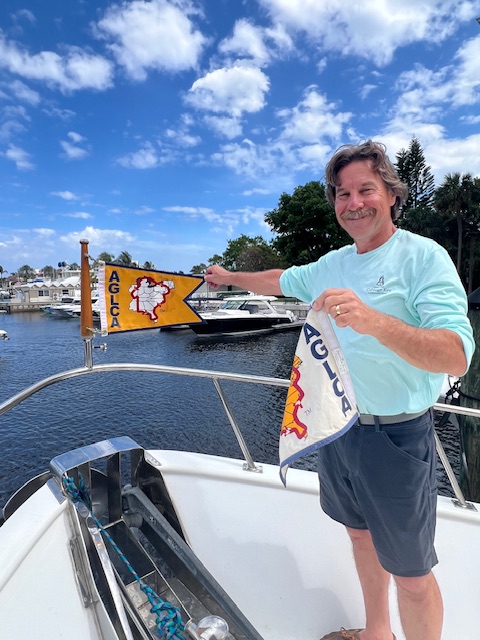
After a long day of driving from Stuart, with that failed stop in Palm Bay, FL, we spent the night in the outskirts of Charlotte, NC. We made it home the next afternoon, Wednesday, April 17th. We spent the next 10 days visiting with family and friends. It was nice being home to experience the sights and smells of spring! In our yard, our lilacs, viburnum and wisteria were all blooming. We also had a nice surprise in the mail. The America’s Great Loop Cruisers’ Association (AGLCA) sent to us our BaccaLOOParate Degree – for becoming Gold Loopers! We’ll frame that with our tattered white Looper Flag.

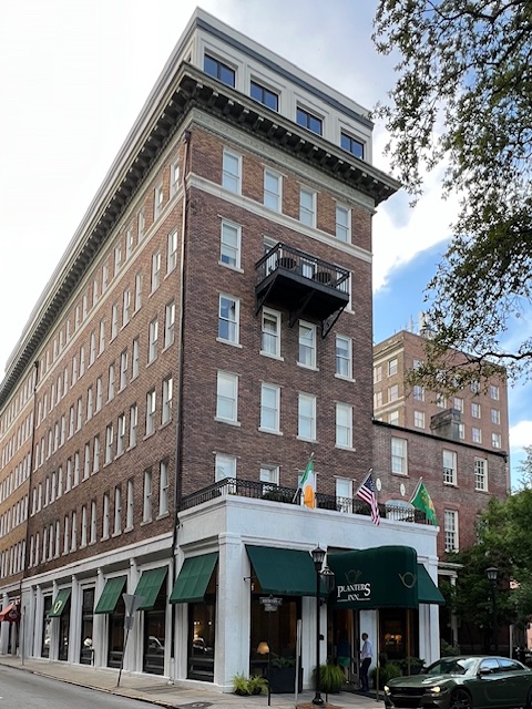
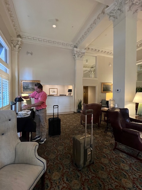
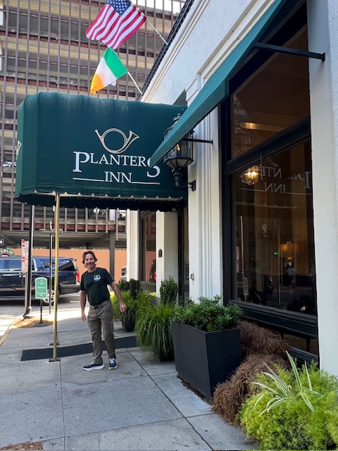
On Sunday, April 28th, we headed back south. We spent two nights in Savannah, GA. We thought about taking HOMES there, but, this way can still explore the city and save at least three days of cruising time. We stayed in the historic downtown at Planters Inn in Reynolds Square. The 60-room inn was built in 1913 and is attached to the Oliver Sturges House, built in 1813. However, from 1736-1737, this site held the home of John Wesley, English missionary and later the founder of Methodism. In 1733, when James Oglethorpe founded the Colony of Georgia, he invited Wesley to be the minister of the newly formed Savannah parish.

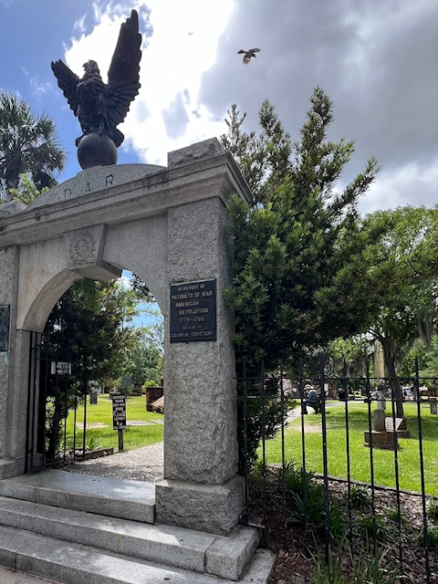
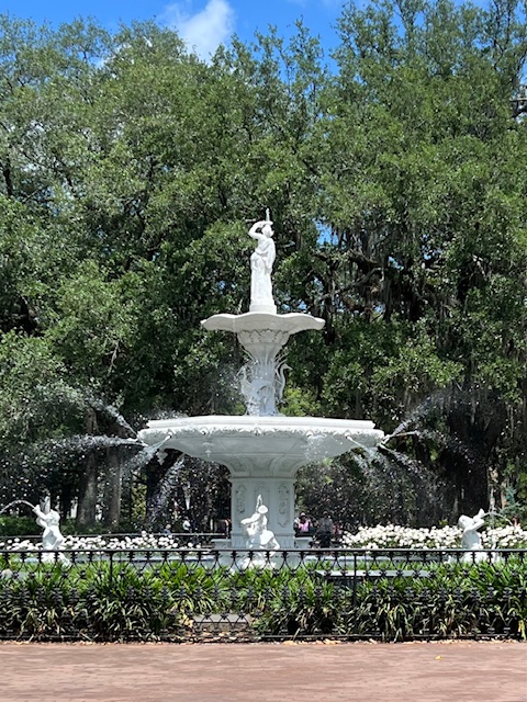
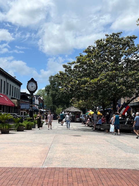
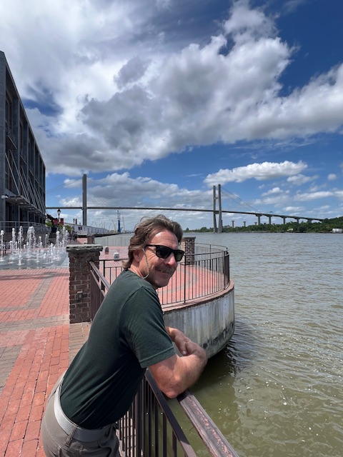
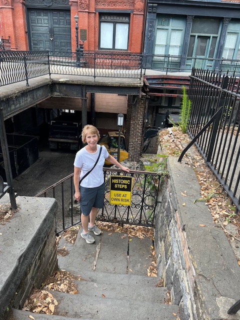
On Monday, April 29th, we spent the day walking Savannah’s historic district, from Forsyth Park to the Plant Riverside District and all the lovely squares in between. The architecture and huge live oaks with moss dangling from their branches transports you back to the Old South. Fortunately, Union Civil War General William Tecumseh Sherman (native of Lancaster, OH), spared Savannah on his March to the Sea, when he burned everything in his path between Atlanta and Savannah, from Nov 15 – Dec. 21, 1864. Some accounts say he spared Savannah because of its value as a seaport and because the mayor signaled the city would surrender; however another account says that he felt the city was too beautiful to burn. Either way, we are fortunate that this beautiful old city survived the ravages of the Civil War.

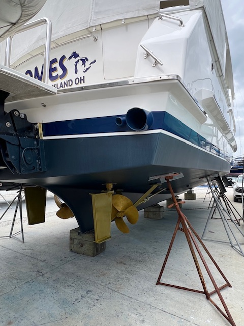
On Tuesday, April 30th, we left Savannah, GA and excitedly headed back to HOMES in St. Augustine, FL. The marina owner, John, has been texting us with HOMES’s progress and said she looks like new. He was right! HOMES greeted us by sparkling in the hot Florida sun. John said it took five guys five days to wash HOMES, buff her three times, wax and polish all of the stainless steel. John painted the bottom – a slightly darker blue, giving HOMES a new look. He also painted prop speed on the props and rudders. She looks fabulous!

On Wednesday, May 1st, we got back in our rental car and drove the 7-hour round trip to Stuart, FL to pick up our stabilizer unit from Gyro Gale, a family-owned business established in 1976. The family, like their stabilizers and customer service, is awesome. Zeyad showed us the shop and showed Tim how to change the air filters that we purchased.

On Thursday, May 2nd, Tim reinstalled our stabilizer unit and hooked up our new anchor. We had our new anchor shipped to the West Marine store that is just a mile from the marina. We picked it up yesterday.

We may be stranded in a boatyard, but at least we’re in a beautiful city- the oldest city in the United States! Every night, we take the mile-walk through the moss-covered, tree-lined streets of the historic neighborhood of Lincolnville to the historic district of St. Augustine.

The marina is in the Lincolnville neighborhood – established in 1866 by former slaves, this neighborhood played a pivotal role in the passage of the Civil Rights Act of 1964 – 100 years after Sherman spared Savannah. On June 9, 1964, Andrew Young was arrested in St. Augustine after leading a march from Lincolnville to the Plaza de la Constitucion, where he met with violent opposition. Young, a civil rights activist, was sent to St. Augustine by Martin Luther King, Jr. to help stop the riots in the city while Congress debated the Civil Rights Act. Young remained true to the non-violence strategy of the movement. He endured being beaten by a large white mob, knowing that if he and the marchers fought back, the Civil Rights Act would fail. This march helped to cement the need for the Civil Rights Act, which passed just a month later. Young went on to become the first African American elected to Congress from Georgia and was one of the first African Americans elected to Congress from the former Confederacy. His final steps on June 9, 1964 are memorialized in brass in the Plaza de la Constitucion. In 2011, Young, age 79, returned to St. Augustine and marched the same path, this time being greeted with joy instead of hatred. He said the purpose of the 1960s Civil Rights movement was “to seek human dignity and respect that allows us to live together as brothers and sisters and not perish together as fools.”

On Friday, May 3rd, the electricians arrived to begin running the wires for our new isolation transformer. They finished installing it on Thursday, May 9th. This is an upgrade that we wanted to do to protect HOMES’s electrical system when we hook up to shore power. The electric pedestals at marinas can fluctuate from sending too little, too much, or the wrong frequency of electric. Or, like in Michigan, HOMES’s electrical system kept popping the breakers because of the new GFCI (Ground Fault Circuit Interruptor). Now, when we plug into shore power, the electric will run into the isolation transformer, where it will be corrected before being used by HOMES. This isolation transformer will bring peace of mind. It would be very expensive if we’d have to replace every electrical item on the boat.

While the electricians began their work on May 3rd, Tim and I drove the 3.3 miles from the marina to the St. Augustine Lighthouse, taking the Bridge of Lions over the Matanzas River (Intracoastal Waterway) to Anastasia Island. There has been a lighthouse, in some form, at this site since 1589. The current lighthouse was built between 1871 and 1874, replacing its predecessor, which was first lit in 1824 by the new territorial American Government as Florida’s first lighthouse. Tim and I climbed the 219 steps to reach the observation deck.

Our climb up the 219 steps was easy compared to the early lighthouse keepers, who had to carry 25 lb. buckets of lard oil up those steps. In 1859, Maria Andreu became the first Latina American woman lighthouse keeper, after taking over for her husband, who fell to his death. She tended the lighthouse for three years until the Civil War. In 1862 Confederate sympathizers took over the lighthouse, burying the lens to avoid drawing attention of Union soldiers. In 1867, the lighthouse was restored to working order and relit, but Andreu did not return. It is believed that she spent the rest of her life with family in Georgia, but her story demonstrates the influence of Latina women, and all women, who have served and continue to serve in the U.S. Coast Guard.

During the next few days, we alternated between boat chores and exploring St. Augustine.

Tim ordered and installed our new anchor swivel; changed oil in the transmissions; changed the oil in the outboard engine of the dinghy; changed the oil in the generator; and, we grocery shopped and took the rental car back.

John lifted HOMES and moved her a foot or two so that he could move the blocks and paint those areas. We received our new screens and Tim hung them. The screens that we made last summer with the magnetic frames did not hold together. These screens use Velcro.

After a day of chores, we would always take an evening walk around St. Augustine, enjoying the evening views and visiting places, such as: Whetstone Chocolates and Coffee; Dog Rose Brewing Co.; Ancient City Brewing; A1A Ale Works; Bog Brewing Co.; and, Meehan’s Irish Pub. We met so many nice people!

Tune in next week as we, hopefully, will be back in the water and into Georgia. We are still waiting on our new lithium iron phosphate batteries to arrive and be installed, as well as our life raft to come back from being re-certified. We like St. Augustine; however, we are more than ready to leave!

Thanks for reading. See you next week.


Beth


Beth

Blog

April 8-14, 2024 – Ft. Pierce, FL to St. Augustine, FL

Highlights this week: Seeing lots of friends and finally getting to see the Fountain of Youth.

Monday, April 8 2024 – Layover day at anchorage near Melbourne, FL (Causeway Bridge, South)

Last night, we got to watch Space X launch a rocket, taking another satellite into space. This anchorage is noted to have good viewing for launches. We watched live coverage of the launch on an app called “Next Spaceflight.” We have Starlink on HOMES, so we said a little “thank you” as it went up. We have never been without internet on our trip. Even when we had no cell service, we could make wifi calls through Starlink. During our crossing of the Gulf of Mexico, we opted not to activate the off-shore feature of Starlink; however, it was nice to know that if an emergency arose, we could have activated it for $2.00/ gigabyte.

In the afternoon, we took the dinghy over to Melbourne, since we had never been there. Melbourne isn’t dinghy friendly. We called the marina and they said we couldn’t tie up there. The AGLCA Harbor Host saw us on Nebo and messaged us to see if he could be of any assistance, so we asked him where he would recommend tying up. He agreed that Melbourne isn’t dingy friendly, but gave us 2 options.

Option 1 was a huge failure – our first ever mishap in the dinghy! The waves and wind were brutally hitting us as we attempted to tie up at the city boat ramp. The dinghy motor hit bottom, died and then refused idle properly or go into gear. Tim lifted the motor and found a massive fishing net wrapped around the prop! Luckily, some kayakers had a knife that we borrowed. It still took a good five minutes for him to cut the net free, while I was holding the line as the waves beat us into the dock.

With that problem resolved and the motor acting fine again, we headed to Option 2. This was a grassy area, but too shallow to beach the dinghy properly. I sacrificed my shoes and jumped out to pull us ashore, as Tim pushed with a dock pole.

After all of that, at least Melbourne was worth the trouble. The historic downtown was quaint. After a delicious lunch at Meg O’Malley’s Irish Pub, we walked along the Crane Creek Riverfront to the marina. We met Loopers on Wake Up Call. They just began their Loop this year, but had a setback when Misty dislocated her shoulder falling between the dock and the boat while taking their dog off. Injuries are always a grim possibility on the Loop.

We finished off our walk at Hell n’ Blazes Brewing Co. We agreed with their awards announcing them “The Best Beer in Florida,” in a state-wide competition. The bartender retired here after teaching for 30 years at Gahanna, Ohio City Schools. We had fun talking about our favorite craft breweries back home in Columbus and Marysville. The eclipse was occurring during our walk, but the sun barely dimmed. The best picture Tim got of the eclipse was as we walked through a parking lot! 😁

Tuesday, April 9, 2024 – Melbourne, FL (Causeway Bridge South) to Titusville, FL (Titusville Marina)

Today, we were underway 5 hours and 13 minutes, going 40 miles (35.2 nm), going an average speed of 7.7 MPH (6.7 knots). We were pulling up anchor by 7:00 AM, since we wanted to get to Titusville before the wind picked up more today. We got a little bumped around a little last night, but our anchor never moved. This morning, we found out why. The anchor came up caked in sand and shells. Before rinsing off the anchor, I picked off a shell to save for my collection.

Our cruise today was up Florida’s “Space Coast” – Melbourne, Coco Beach, Port Canaveral and Titusville. This portion of the Atlantic Coast got the name Space Coast because of the spaceports like Cape Canaveral and Kennedy Space Center. Rockets are launched from this area because at this point, the Earth’s rotation is optimal, adding the speed of rotation to the orbital velocity of the rocket. Also, launching from an uninhabited location minimizes the danger of falling debris from a failed launch.

We pulled into Titusville Marina as other boats were going out to watch the 12:53 PM launch of the Delta IV Heavy NROL-7 from Cape Canaveral. This will be the last mission of the Delta rocket family, as it takes off for an unspecified national security mission. We docked at the fuel dock and got gas in the dinghy and the dinghy’s extra tank. We had just finished tying up in our slip when we heard the rumble of the rocket launching. We ran to the bow, but only saw a lot of smoke in the clouds. However, we learned later that no one got a good look at the launch due to the clouds.

This evening, we had plans with a friend/ fellow retired firefighter, George, and his wife Jackie, who live in Titusville. After a tour of HOMES, we headed to Cafe Paradiso Bistro & Social Club for dinner. Chef Gypsy had a huge menu on New-Orleans style foods. My ginger curry chicken salad sandwich was delicious and Tim devoured his Louisiana Smothered Chicken. It was a nice evening with great food and great company. Unfortunately, I forgot to take a picture with George and Jackie.

Before going to bed, we set our alarm for 12:15 AM to catch the last rocket launch of our visit to the Space Coast – a Falcon 9 rocket carrying 23 Starlink internet satellites. Then the launch was delayed to 1:40 AM. I thought a night launch would be more spectacular, but it was just a red light in the sky that faded to white, just like its smoky tail.

Wednesday – Thursday, April 10-11 – Layover days in Titusville, due to weather

We had originally planned to stay in Titusville on Wednesday, but a storm caused us to extend our stay another day. Fortunately, we love the historic downtown, which is just a short walk from the marina. We revisited our favorite places from when we were here 2 years ago on HOMES – Sunrise Bread and Playalinda Brewing Company.

We also accomplished some chores. Tim fixed the fresh water inlet, which broke when the water froze in Mobile, AL back in January. He made a temporary fix at the time. We had the parts shipped to us when we spent the week in Punta Gorda. He also replaced an access port on the swim platform. There was nothing wrong with it. It was just old and ugly. While he was sitting on the swim platform, a manatee swam by! I didn’t get a good picture, but what a thrill to see!

We also added chain markers to our anchor chain. The color allows us to know how much chain is out. We usually try have out 5 foot of chain out for every 1 foot of water – taking into account the tide. Originally, the chain was painted with colors, but now the colors are hard to see. These chain markers were on the boat when we bought it, so we decided to use them.

We also deflated my paddle board and put away the fender boards that we made in Mobile, AL. We need to clear things off the deck because we are have HOMES washed and waxed in St. Augustine next week.

Friday, April 12, 2024 – Titusville, FL (Titusville Marina) to Daytona Beach, FL (Halifax Harbor Marina)

Today, we were underway 6 hours and 15 minutes, going 47 miles (41.8 nm), at an average speed of 7.7 MPH (6.7 knots). We pulled out of Titusville Marina at 7:00 AM. We wanted to get an early start so that we could meet up with my friend, Tonda, and her husband, Denny, who are at their condo in Daytona Beach this week. The weather prevented us from getting to Daytona yesterday and today, they need to be at the Daytona Airport by 6:30 PM. So, we left early to optimize our time with Tonda and Denny.

After exciting the marina’s channel and turning left, we headed north under the NASA Railroad Bridge. This bridge is kept in the vertical position, until it needs to be lowered to deliver heavy rocket boosters, rocket frames and other supplies to and from the JFK Space Center.

Soon, we were going through the Haulover Canal and under the Haulover Bridge. This man-made canal connects the Indian River Lagoon and the Mosquito Lagoon. Even before this canal was dug in 1881, the Native Americans used this narrow strip of land to “haul over” their canoes. During the 2nd Seminole War (1835-1842) the U.S. Army established Fort Ann (near present-day Kennedy Space Center) in 1837 to prevent the Native Americans from using this portage to carry out raids against American settlers.

The canal is known for having manatee and we actually saw three! Although we don’t “see” them like at the zoo. First we see what looks like a log and as we get close, we see some swirls in the water – but it’s still cool to see them in the wild!

As we approached New Smyrna Beach, we were on high alert as to not miss our turn. When we came through here in 2022, we missed our turn and continued out toward the Ponce de Leon Inlet. By the time we realized that we needed to turn away from the Atlantic Ocean, we only saw a small strip of water (the Halifax River) boarded by two beaches (not only shallow, but also addition low tide!). We were such rookies – day 6 of our Loop! This year, we took the left turn and had a comfortable cruise along the wide Ponce de Leon Cut, while talking to our son, Nick on the phone. We’ve learned a lot in 2 years!

By 1:20 PM, we were tied up at Halifax Harbor Marina in Daytona Beach. Just before pulling into the marina, we recognized the anchorage where we hit bottom in 2022 and wrapped up all that stuff on our starboard prop. That day 6 of our Loop was a trying day – not to mention that between the Ponce Inlet mistake and the prop incident, Florida Fish and Game boarded us to see if our toilets were set to pump overboard. They quickly left after they discovered that we weren’t in violation and they saw another big boat coming. Despite that trying day #6, we continued on…and now we’re Gold Loopers.

Tonda and Denny were at the dock, by the time we got our water and electric hooked up. We had such a great time together – touring HOMES, touring their condo, and driving around Daytona Beach. We had lunch at Racing’s North Turn. The restaurant has a museum commemorating this location’s history of being the North Turn of the pre-NASCAR beach races from 1936-1958. These beachfront races began in 1902, but in 1936 a 3.2 kilometer course began hosting stock cars and motorcycles. This beach course hosted its last even in 1958, when NASCAR (National Association for Stock Car Auto Racing) relocated to its current Super Speedway location, known for the Daytona 500.

Saturday, April 13, 2024 – Daytona Beach, FL (Halifax Harbor Marina) to St. Augustine, FL (Oasis Marina)

Today, we were underway 6 hours and 58 minutes, going 52 miles (45.6 nm), at an average speed of 7.5 MPH (6.5 knots). We got another early start, pulling out on the Halifax River, going under the bridges of Daytona Beach, before the Sunday boat traffic began. Today, we heard two calls on the radio from boaters having engine problems and trying to negotiate the bridges with one engine or limited control. That is always sad to hear, but also concerning if they are close to us.

We fought the current most of the day, slowing our speed slightly, but our cruise on the Mantanzas River was beautiful. We cruised by Bulow Creek State Park, Palm Coast, and Matanzas State Forest. The shores alternated between scenic park lands and lines of homes with private docks extending into the river.

We turned off the Matanzas River at St. Augustine and continued a short distance up the San Sebastian River to Oasis Mariana. Here is where HOMES will spend the next few weeks getting some TLC maintenance for Loop well done.

A nice surprise is that our friends on Sea Cottage are at a marina right up the river from ours. Keith and Melinda have been in my blogs before. We first met them back in Columbus, Mississippi and traveled with them several days until reaching Mobile, AL. We next met up with them at Punta Gorda, FL. They were our first guests to arrive by dinghy months ago, and now we returned the visit. We took the dinghy over to their boat and had a nice dinner at their marina’s restaurant, Hurricane Patty’s. As we finished dinner, we saw two or three manatees splashing near shore in the marina! It was dark, by the time we left their boat; however, the dinghy has lights. Those are just evenings that just go too fast.

Today is Sunday, April 14th – the day I finally made it to the Ponce de Leon’s Fountain of Youth! In 1976, on the way home from a family vacation to Disney World, I wanted to stop here. We made it to the parking lot and it was raining too hard to go into the park. Today, I drank two glasses of water to make up for my missed trip.

Founded in 1565, St. Augustine is the oldest continuously occupied settlement in the United States. If you remember from our visit to Pensacola, they brag about being older, but they were not “continuously occupied.” St. Augustine was here 42 year before the English colonized Jamestown and 55 years before the Pilgrims landed at Plymouth Rock. Juan Ponce de Leon is credited with discovering Florida, at St. Augustine in 1513; however, a Timucua village was already at this location, where people had lived for over 3,000 years. Being a Catholic, Ponce de Leon wasn’t looking for the Fountain of Youth to live forever, he was just looking for fresh water and had heard that the people drinking from this water had lived a very long time.

The Ponce de Leon’s Fountain of Youth Archaeological Park costs $22 at ticket for admission. The park claims to be the oldest theme park in the United States, with its founding in the 1950’s. The park has a reconstructed: Timucua village; 1587 Mission Church; Spanish Lookout; and, Spanish boatyard. Peacocks freely roam the grounds. We watched a show in the planetarium showing how Ponce de Leon used the stars to find St. Augustine. I would not be doing the Loop if we had to rely on the stars for navigation and a led weight hanging from a rope for a depth finder!

After leaving the park, we walked to the Colonial Quarter and ate lunch at the Bull & Crown on St. George St. Also, on St. George St., we passed the oldest wooden school house in the United States. Our final sightseeing stop of the day was the oldest thing in St. Augustine – – and not a replica. It is the Old Senator Live Oak. It is well over 600 years old and would have witnesses Ponce de Leon’s arrival.

After enough sightseeing, we drove back to the boat. We began our day by taking an Uber to pick up our rental car. HOMES will be coming out of the water tomorrow at 3:30 PM and we’ll be heading home. However, we need to backtrack a little first. On Tuesday, we’re dropping off our stabilizer unit to be repaired in Stuart,FL and picking up our new anchor in Palm Bay, FL. Yes, the Spade Anchor Co. agreed to give a us a new anchor for free. It is not the exact same anchor, but we’re happy with their decision. So, we won’t actually be heading back to Ohio until Tuesday afternoon.

Look for a new blog on May 5th – Cinco de Mayo. HOMES should be back in the water by then after her TLC maintenance. Her wax job alone will take 6 days.

See you then! Thanks for reading.


Beth


Beth

Blog

April 1-7, 2024 – Key Biscayne, FL to Melbourne, FL

Highlights this week: It was a cathartic week, as we made our way back up the Atlantic Intracoastal Waterway (ICW) to complete our Loop. We are now GOLD LOOPERS. We crossed our wake in Delray Beach on Wednesday, April 3rd, after leaving there on June 7, 2022. However, the reminiscing began on Tuesday, when we cruised into Fort Lauderdale… where our boat search began in June 2021.

Monday, April 1, 2024 – Layover at anchorage near Key Biscayne

For the month of March, we travelled 12 days, were underway 59 hours, going 441 miles (383.2 nm), at an average speed of 7.5 MPH (6.5 knots). It was a fun month, taking us from Venice, FL to Key Biscayne, with the skyline of Miami in our sight.

Today, decided to stay at this anchorage near Key Biscayne, since we wanted to explore Bill Baggs Cape Florida State Park. The anchorage was absolutely crazy yesterday — day boaters and superyachts, blaring loud music, with people jumping into the water and playing on rafts, etc. Two boats squeezed in by us, but they were gone in a few hours. By dark, all was quiet and only about 15 boats, mostly sailboats, remained in the anchorage overnight.

We took the dinghy into No Name Harbor to visit Bill Baggs Cape Florida State Park. A park ranger was standing at the dinghy dock waiting to take our $8.00 entrance fee. We walked along the trail to Cape Florida Lighthouse, which was closed for renovations. If the lighthouse could only talk! It was built in 1825 – making it the oldest structure in Miami-Dade County. It originally guided sailors around the Florida reef. It has survived nearly 200 years of erosion, dozens of hurricanes, an attack by native Seminole Native Americans and an explosion of lantern oil and gun powder. Spanish explorer Ponce de Leon named this area “Cape of Florida” in 1513. Key Biscayne is the southernmost sand barrier island in the continental U.S.

Before the lighthouse was built, the Cape of Florida was known as the Saltwater Railroad. After Spain transferred its Florida territory to the U.S. in 1819, escaped slaves from the Deep South of the U.S. and Black Seminoles (runaway slaves taken in by the Seminole Native Americans), boarded ships here to migrate to the British-controlled Bahamas. Under Spanish rule, many blacks were free; however, invading U.S. General Andrew Jackson, and future President of the U.S., was a strong supporter of slavery. By the 1830s, thousands of slaves had escaped from the Cape of Florida to be free in the Bahamas.

Past the lighthouse, we walked out on the beach briefly, before taking the trail back to No Name Harbor. We had a drink at Boater’s Grill, before heading back to HOMES. We feel fortunate that, in the 1960s, Bill Baggs, a civil rights champion and editor of The Miami News, had the passion to preserve this portion of Key Biscayne. In the 1950s, real estate developers cut down every tree on the property, including the mangrove wetlands, and filled it in with dredged material, in order to level the property for hotels, condos and single-family homes. At some point, development stopped and the area was taken over by the invasive Australian Pine trees – like on nearby Virginia Key. Baggs worked with the property owner, Mrs. Garcia, to sell her property cheaper to the state of Florida for a park, rather than to another developer. The rest is history, and I’m sure Florida is happy to have the tourism and ecological benefits today.

Tuesday, April 2, 2024 – Anchorage near Key Biscayne, FL to Fort Lauderdale, Sunrise Harbor Marina.

We were underway today for 4 hours and 51 minutes, going 39 miles (34.2 nm), at an average speed of 8 MPH (7 knots).

We pulled up a clean anchor around 8 AM and traveled back out of Biscayne Bay and around the Cape of Florida.

After passing by Miami, we continued traveling along the Straits of Florida/ the Atlantic Ocean up the coast from Miami Beach to Ft. Lauderdale. It was hard to discern where one beach community ended and another began. There was a continuous line of high-rise buildings overlooking beaches dotted with sun umbrellas. We were too far away to see how many people were on the beaches. The waves were just a 1-2 foot chop, but we didn’t see any wildlife.

As we approached Ft. Lauderdale, we were reminded that Florida isn’t just for tourists. We could see three freighters ahead, which were anchored outside the Stranahan River, waiting to enter Fort Lauderdale. To our left, in the distance, we could see freighters being unloaded at Crowley-Port Everglades Terminal. We were heading the same way as the big freighters and cruise ships – up the Stranahan River.

Tim negotiated the heavy boat traffic coming and going through the entrance of the Stranahan River. We soon made a right turn to continue on the Stranahan River, with a beach to our right and a tour boat crowding us on our left. We fell in behind the tour boat and continued under the 17th St. Causeway Bridge. We then continued past canals shooting off on both sides of the river, with big houses and equally big boats docked in front.

After the 17th St. Causeway Bridge, we turned right, off the Stranahan River and onto the New River. We recognized the marina where we took a sunset cruise back in 2021, after a week of boat shopping. We continued under the Las Olas Blvd. Bridge, where the river name turned into the Middle River. The Intracoastal Waterway connects all of these rivers, with sections of made-made canals – so in general terms, we are back on the Atlantic Intracoastal Waterway (ICW). Despite hurricanes and environmental issues, we still saw development in progress. Ten minutes later, when we saw the Sunrise Blvd. Bridge, we knew that we were just minutes away from docking at Sunrise Harbor Marina – a superyacht marina.

Why pay $365.00 to dock with the superyachts for a night? Well, it may be no surprise to those who know me… a coffee shop/ French bakery! We discovered Anna’s Coffee Shop and French Bakery when we came to Fort Lauderdale for a week in June, 2021 to shop for boats. We stayed at a kitschy hotel in Victoria Park and walked to Sunrise Blvd. Bridge to look at the ICW and the marinas and dream about our Loop. We found Anna’s Coffee Shop on our walk. When we found our dream boat seven months later, her name was “Anna.” That seemed liked a good sign, even if we did rename her HOMES.

Wednesday, April 3, 2024- Sunrise Harbor Marina -Fort Lauderdale, FL to Delray Harbor Club -Delray Beach!!! The Loop is complete! We CROSSED OUR WAKE!

Our voyage today took 5 hours and 15 minutes to go 23 miles (19.7 nm), at an average speed of 6.7 MPH (5.8 knots). That may seem like a long time and a slow speed- even for HOMES; however, we are back on the Atlantic IWC – which means lots of drawbridges!

Waiting on drawbridge openings was made more difficult today by the 19 MPH winds, with 30 MPH gusts.

We knew the wind would make things difficult today, but we didn’t want to delay crossing our wake. So, after breakfast at Anna’s Coffee Shop, we untied and Tim backed HOMES up passing the superyacht behind us. The crew was busy washing the yacht behind us. A girl was in a their 35-foot tender, washing the side of the yacht. I use my paddle board for HOMES! 😁

Once out of the marina around 9:00 AM, we began our quest to time the drawbridge openings, so that we had the least amount of time to wait in the wind.

Around 11:00 AM, we passed the Hillsboro Inlet and recognized the Hillsboro Lighthouse. This is the inlet that we entered the Atlantic Ocean for our sea trial back on February 8, 2022. We are now back in familiar waters!

The wind continued to increase as the day went. We traveled most of the day with a sailboat. At the E. Palmetto Park Rd. Bridge in Boca Raton, the sailboat asked the bridge tender if he would open early because of the wind. The bridge tender sarcastically said, “not unless the Coast Guard declares an emergency.” So, the sailboat guy chuckled, said “thank you,” and we continued to fight the wind. By this point, two more boats had joined us.

Fortunately, E. Palmetto Park Rd. Bridge was our last bridge of the day. We could fit under the last two bridges standing between us and finishing our Loop- Spanish River Blvd. and Linton Blvd. Leaving the other tall boats behind, we were alone in the channel – allowing us time to get out our gold burgee. We ordered our gold burgee when we were home at Thanksgiving. It arrived when we were home for Christmas; however, we only opened the package enough to see that it was gold. We didn’t want to jinx our completing our Loop by taking it all the way out. 😁

April 3, 2024 – 1:28 PM – Gold Loopers!

After cruising under Linton Blvd. Bridge, we passed by the marina where we are staying for the next two nights – Delray Harbor Club. Within minutes, we were CROSSING OUR WAKE in front of Seagate Yacht Club, Delray Beach, FL.

Below is a breakdown of our trip, from pulling out of Delray Beach on June 7, 2022 until returning on April 3, 2024:

  • Days traveled: 163
  • Months traveled: 11 months (4 in 2022; 5 in 2023; and, 2 in 2024)
  • Hours underway: 773
  • Miles traveled: 5,860 (5,091.9 nm)
  • Longest voyage: 171.6 miles / 25 hours and 18 min. (Gulf of Mexico crossing)
  • Average speed : 7.6 MPH (6.6 knots)
  • Maximum speed: 16 MPH (14 knots) – The Upper Mississippi River
  • Gallons of diesel: 3,214.64
  • Miles/gallon: 1.82
  • Locks: 73
  • States: 16

After taking photos and selfies in front of Seagate Yacht Club, we turned south back to Delray Harbor Club. Unfortunately, Seagate didn’t have any transient slips available; however, the dock master at Delray Harbor Club was excited for us and happy to take our picture to submit to the AGLCAAmerica’s Great Loop Cruisers’ Association.

Once we submitted updated our information on the AGLCA website, we walked into Delray Beach. We had been looking forward to returning to the Blue Anchor British Pub! That pub is where we’d go every evening for drinks on the 3 occasions that we were in Delray getting HOMES ready for our voyage. It was a nice homecoming!

On Thursday, April 4th, we spent the morning making plans and reservations for the next phase of our journey. Tim scheduled some work to be done on HOMES, at Oasis Marina in St. Augustine, starting on April 12th. He wanted to use Oasis Marina to do our work. If you recall, they were the marina who went out of their way to help us on June 13, 2022 – day 7 of our Loop – when we wrapped up all that stuff on our props in a Daytona Beach anchorage. They were as friendly and as accommodating on the phone as we recalled. While we take a trip home, they will: 1) put in our cutlass bearing (which we have, but Toledo Beach Marina didn’t have the tools to install last winter); 2) do a bottom paint job; and 3) a full-boat wax. Tim plotted our daily courses to get us to St. Augustine on April 12th. We’ll be stopping in new anchorages; however, we’ll be repeating our stay at Titusville Marina, because we really liked that marina and the quaint downtown.

In the afternoon, we walked over Linton Blvd. Bridge and back to Delray Beach, along S. Ocean Blvd. (Hwy A1A). We reminisced as we visited Seagate Yacht Club and the very slip from where we left in June of 2022. Some of the neighboring boats were the same, but no one was around. We ended our walk back at the Blue Anchor for one last time. Two of our favorite bartenders from two years ago were there – Lannie and Anthony. I think Delray Beach is more beautiful at night. Tomorrow begins our new chapter, as Gold Loopers.

Friday, April 5, 2024 – Delray Harbor Club, Delray Beach, FL to an anchorage near North Palm Beach (North Lake Worth- Turtle Cove)

On today’s voyage, we were underway 3 hours and 29 minutes, going 27 miles (23.2 nm), at an average speed of 7.6 MPH (6.6 knots). However, the duration of our trip was 6 hours and 18 minutes, because we fueled up before leaving Delray Harbor Club and we had several drawbridges.

We perfectly timed leaving the fuel dock, so that we’d arrive at Atlantic Ave. Bridge for its 9:45 AM opening. However, the bridge tender didn’t reply to Tim’s repeated radio and telephone calls. Tim finally called the next bridge –George Bush Blvd. Bridge -to see if there was a problem. That bridge tender said he had been hearing us on the radio and wasn’t aware of any problems. At that point, the Atlantic Ave. Bridge tender came on the radio and said that his shift didn’t start until 9:55 AM and he didn’t know why no one was there earlier. At this point, it was 9:47 AM and he refused to lift the bridge until the next opening – 10:15 AM. Originally, we were feeling sentimental about going under Atlantic Ave. Bridge -where we began our Loop – and hoped that we’d have time for pictures – – we had plenty of time for pictures!

The ICW was busy today, but it was a Friday. When we passed the West Palm Beach anchorage, where we anchored on our first night on the Loop in 2022, we were surprised to see so many half-sunken boats and boats beached on shore. The buildings had a lot of construction going on too. I don’t think I could live somewhere that gets consistently ravaged by storms.

We had a short cruising day today. The anchorage- Turtle Cove in North Lake Worth – is near John D. MacArthur Beach State Park. There was really nowhere to easily visit, so we spent the evening on HOMES. Tim made a delicious dinner of andu sausage with veggie rotini and I made us a spring mix salad. A relaxing evening.

Saturday, April 6, 2024 – An anchorage near North Palm Beach (North Lake Worth – Turtle Cove) to an anchorage at Ft. Pierce (Fort Pierce R184/ Causeway Bridge)

Today, we were underway 7 hours, going 49 miles (42.9 nm), at an average speed of 7 MPH (6.1 knots). We got an early start after a comfortable night at anchor. It’s been cooler for the past few days, with less humidity.

Within a few minutes of leaving the anchorage, we were slipping under Parker Bridge (US-1), with about 2 feet to spare. The next bridge – PGA Blvd. – would have been about a foot tighter, so we requested a lift.

The Jupiter Inlet looked much different from 2022. Even on a Saturday, the US-1 Bridge replacement project was in full swing. This new bridge is supposed to be done in late 2024. Despite the construction, the Jupiter Lighthouse still proudly stood out.

Also standing out was a classically beautiful boat – Honey Fitz. The U.S. Presidential Seal on the side of the boat made me curious. A quick Google search told me that this was a presidential yacht, most often associated with John F. and Jacqueline Kennedy; however it also served Harry S. Truman, Dwight D. Eisenhower, Lyndon B. Johnson and Richard M. Nixon. This 93-foot wooden yacht, launched in 1931, was a superyacht in its day. The Honey Fitz has just been restored to replicate the decor of the Kennedy era. It now serves for use on limited charters and fundraising events.

The anchorage that we chose for tonight is off the ICW channel near Ft. Pierce. The anchorage was crowded, but we found room. Later, we took the dinghy across the ICW to Ft. Pierce for a walk. The historic downtown was a short walk from the free dinghy dock. We didn’t think that we’d ever been to Ft. Pierce before, until recognizing the restaurant where we ate with our broker back in June of 2021, when we were boat shopping. We finished our walk around Ft. Pierce with a drink at Sailfish Brewing Co. before heading back to the boat and calling it a day.

Sunday, April 7, 2024 – Anchorage near Ft. Pierce, FL (Ft. Pierce R184/Causeway Bridge) to an anchorage near Melbourne, FL (Melbourne Causeway South)

Today, we were underway 6 hours and 19 minutes, going 48 miles (42.2 nm), at an average speed of 7.7 MPH (6.7 knots). Fortunately, the few bridges that we had today were all tall enough for us to fit under. We had a relaxing cruise, passing, and being passed by, several other cruisers. We anchored with Steel Magnolia last night. She is a Florida Bay Coaster – only 13 left in existence. We chatted on the radio as they passed. They have been living aboard their boat for 19 years. While passing and chatting with a sailboat from Vermont, they told us that we’ll enjoy Lake Chamberlain this summer. These boaters weren’t Loopers, but the boating community, as a whole, is friendly.

We are anchoring here for tonight and tomorrow night. Melbourne is west, across the channel, and there is also land access to our east. This area looks like a nice place to explore. Also, we have seen lots of dolphins around the boat, but they aren’t too active. Perhaps, at a high of 71 degrees today, they aren’t feeling like jumping out of the water. Tonight at 7:16 PM, a rocket is being launched from Kennedy Space Center that we should get to see from HOMES. There will be another one tomorrow afternoon.

This is where we will leave you. Next week will take us to Titusville and Daytona Beach before reaching St. Augustine for HOMES’s TLC maintenance.

Thank you for joining us on our journey to become Gold Loopers! What a journey it was! Our plans are to continue up the East Coast and up the Champlain Canal to do the Canadian canals this summer…so the journey is not over!

See you next week!


Beth


Beth

Blog

Week 8, Part III – March 25 – 31, 2024 – Marathon, FL to Key Biscayne, FL

Highlights this week: Road trip to Key West; finally getting to tour Lignumvitae Key Botanical State Park; making it back to the Atlantic Ocean; and an unexpected stop in Key Largo.

Monday, March 25 – 26, 2024 – Excursion days to Key West, FL

When we left you last Sunday, we were in Marathon. We had just enjoyed a day at Sombrero Beach, and were on our way to dinner, at Lighthouse Grill, with our friends from Ohio, Mike and Jen Plahovinsak and their daughters Evie and Annie. On Monday, March 25th, the Plahovinsaks picked us up in front of the marina for an overnight trip to Key West.

Our first stop was Ernest Hemingway Home & Museum. I knew of Hemingway as a Nobel Prize winning American novelist and an adventurer with a larger-than-life persona, since reading The Old Man and Sea in high school. During the guided tour of his home, I learned more about Hemingway’s career as a war correspondent, during the Spanish Civil War and WWII; his 4 marriages; his novels; and his suicide in 1961. However, what I did not know anything about was his cats! Hemingway was given a white, six-toed cat by a ship’s captain in the 1930s. This inherited trait – called polydactylism- causes cats to have extra toes on either their front and/or hind feet. Thought to be better mousers, these cats were popular with ships’ captains. Today, the Hemingway Home has about 60 polydactyl cats on the property, which all trace their linage to Hemingway’s original cat. The cats have free range of the home and property and are federally protected. They have three staff members taking care of them, and as our guide said, “they have better healthcare than him.” 😁 Hemingway named all of his cats after famous people, so that is still the case today. The guide bragged about often having lunch with Eleanor Roosevelt.

We walked along Duval Street and had drinks at Sunset Pier, before continuing on to Mallory Square and touring the Key West Shipwreck Museum. We had lunch/dinner at the Hard Rock Cafe where they had shoes belonging to two of my favorite female artists – the late Olivia Newton-John and Madonna.

By this point, we were ready to check into our hotel in “Old Town” Key West. The Saint Hotel is on the corner of Easton St. and Duval St. Our room’s balcony overlooked the pool, while the Plahovinsaks room had a balcony overlooking Duval Street.

On Tuesday, March 26th, The Plahovinsaks needed to get an early start. I still wanted to see the Southernmost Point of the Continental USA, so Tim and I got up early for a walk and breakfast. We were up with the roosters, trash collectors and street sweepers. It was still dark when we got to the marker, showing that we were only 90 miles from Cuba. We then walked to a French bakery that I had scoped out yesterday – La Grignote Cafe & Bakery. The key line scone was heavenly!

Once the Plahovinsaks dropped us off at HOMES, we spent the rest of Tuesday getting ready to leave the marina the next day. We had divers come and clean the bottom of HOMES. In saltwater, plant growth and barnacles can grow on the bottom. The divers found a crab pot line wrapped around the prop. Thankfully we had line cutters installed on our props last winter. Without the cutters, the crab pot could have wrapped around our prop, causing damage – like our experience in Daytona back on June 12, 2022 – day 5 into our Loop. The divers also check our “zincs,” a/k/a anodes. I explained in a previous blog, that anodes are sacrificial metals, which get eaten away, instead of HOMES. The anodes on the prop shaft and Freedom Lift (the dinghy lift) looked okay to the diver, but he’d be back tomorrow to replace the anode on the back of HOMES.

Wednesday, March 27, 2024 – Marlin Bay Marina, Marathon, FL to a mooring near Lignumvitae Key Botanical State Park (return trip)

Today’s voyage took us back to our scenic spot on the mooring ball near Lignumvitae Key Botanical State Park. We were underway 3 hours and 55 minutes, going 30 miles (26.1 nm), at an average speed of 7.6 MPH (6.6 knots).

We got a late start today, because the diver had to come back and put the anode HOMES’s stern. Of course, all boats are different, so the anode didn’t fit HOMES’s screws. No fear – Tim has a tool for every occasion. He was able to drill out the anode screw holes to fit.

While waiting for the diver to finish, the portable pump-out guy came by, so we had our waste tank pumped out. With all of these tasks complete, we untied and headed back the way we came. Our first move north! The persisting wind made us scrap the idea of taking the boat to Key West. After visiting Key West by land, we weren’t impressed enough to spend the time and money to go back there on HOMES.

If we didn’t leave Marathon today, the wind would prevent us from leaving until Saturday. We were ready to be done with Marathon, so we decided to head back to the mooring ball at Lignumvitae Key Botanical State Park to wait out the wind. We redeemed ourselves, by hooking the mooring ball on the first try this time!! However, once we were secured, Tim wasn’t happy with how the mooring line looked. So, he got out the dinghy and discovered the line was knotted under the mooring ball. It took some time, but he unknotted the line. The line would have held us fine, but considering the strong winds tomorrow, he wanted it right. Besides, he said it was a job that needed to be done.

On Thursday, March 28th, the weather forecasters got it right. We awoke to howling winds of 25-36 MPH, with gusts of 45 MPH. Tim tied my paddle board on a little tighter and we enjoyed a relaxing day. Around dinner time, Tim noticed a Portuguese Man of War floating by. A quick Google search later, we learned that the Man of War is common in the Florida Keys. Having no propulsion, they depend on the wind and the tides to move them around. Their venomous tentacles paralyze and kill fish and shrimp. Their sting can be painful to humans, but not deadly. One of their only predators is the loggerhead sea turtle – which is protected as a threatened species by both federal and Florida laws.

On Friday, March 29th, the winds calmed down to around 21 MPH and boats started moving again. Around 1:00 PM, the winds were even calmer, so we decided to take the dinghy over to Lignumvitae Key Botanical State Park, for the 2:00 PM guided tour. What a hidden Gem! Lignumvitae Key has the highest elevation of any of the Florida Keys and is home to the tropical hardwood hammock, which supports 65 species of trees and woody shrubs, including 10 species that are threatened or endangered – including the lignum vitae tree, for which the key is named. The lignum vitae tree was targeted by early loggers for its dense resinous wood for use in ship building and for its medicinal properties. Since it was difficult for loggers to get to the Lignumvitae Key, the tree survived here. All of the trees in the hammock support numerous species of butterflies, dragonflies, birds and tree snails, many which are endangered, like the trees they depend upon.

In 1919, William J. Mathewson, a wealthy Miami chemist, bought the 280-acre key and built a caretaker’s home, with a windmill for electricity and a cistern for rainwater. The exterior of the two-story home is constructed of corals and fossils of long-ago sea creatures. Mr. Mathewson decorated his lawn with several 17th-century cannons, which were salvaged from the H.M.S Winchester, a 60-gun British warship, built in 1693, that wrecked on the reef. There is also a north-south coral wall running along the back of the island. Archeologists have no evidence of who built this wall, but guesses range from the Mayans to early pirates.

After leaving Lignumvitae Key Botanical Stat Park, we were hungry, so we headed across Lignumvitae Basin to Islamorada for dinner at Pappa Joe’s. We skipped Robbie’s this time, because Tim didn’t want to wash pelican poop off the dinghy 😁. We ended our day with a beautiful sunset. Tonight, we are sharing the mooring field with another Looper – Superior Sunrise. We exchanged a few chats on Nebo. They will be heading north too.

Saturday, March 30, 2024 – Mooring near Lignumvitae Key Botanical State Park to anchorage near Key Largo

On our voyage today, we were underway 5 hours and 13 minutes, going 38 miles (33 nm, at an average speed of 7.2 MPH (6.3 knots). As you can see, we did a little backtracking to stay in deeper water – at least 6-feet deep. We cruised under Channel #5 Bridge, which is a 65-foot bridge that carried Rt. 1/ Overseas Highway over us. Once under the bridge, the Atlantic Ocean stretched in front of us. We made it back! We left the Atlantic Ocean on August 11, 2022, when we turned into New York Harbor. It’s hard to believe that we will complete our Loop in 4 more stops!

Today, we cruised along the coastal water in a 2-3 foot chop, but in the ocean, the period of the waves is farther apart, creating more of a rolling effect – not uncomfortable at all. After about 2 hours, we were back to being parallel to Lignumvitae Key. There is a channel at Islamorada that we could have taken, but the water had some spots around our 4-foot-8-inch draft. We probably would have powered through fine, but why chance it? We aren’t in a rush.

The anchorage that we picked behind Rodriguez Key was better than the reviews had indicated. As predicted, there were lots of boats anchored there, with a lot of day boaters near the key playing in the water; however, we didn’t experience any inconsiderate boaters waking us. Plus, it was only a 15-minute dinghy ride away from Snappers Oceanfront Restaurant & Bar on Key Largo! We shared a table with Jackie and her partner Toni, who were on day 1 of their vacation. It didn’t take long for us to start chatting – sharing stories of Florida “back in the day;” how AI is changing law firms (Jackie owns a staffing agency in Minnesota); how much fun we had in Chicago (Toni lives in Chicago); and tips on where we should get some good Thai food in Ft. Lauderdale. They didn’t think it odd that we are only stopping in Ft. Lauderdale to stop at Anna’s Coffee Shop and French Bakery – which we discovered on our first boat-search trip in June of 2021.

As I’ve said many times before, the reason we always try to find coffee shops in the morning and/or places to have drinks in the evening is to chat with people. Meeting people is what traveling is all about! I may not remember the name of the restaurant or the anchorage, but I’ll always remember Key Largo is where I had a key lime mojito, while talking with two nice women who wanted to be in my blog! Hi, Jackie and Toni! I hope you’re having a fabulous vacation!

Sunday, March 31, 2024 – Anchorage near Rodriguez Key to an anchorage near Key Biscayne, FL (Bill Baggs Cape Florida State Park)

Our voyage today took 6 hours and 27 minutes, going 51 miles (44.1 nm), at an average speed of 8 MPH (6.8 knots). It was a beautiful day to be on the water. The Loopers were really out moving today! It was fun watching everyone moving, mostly north, on the Nebo app. Don’t forget that you can click on the Nebo link at the top of our website homepage to see us moving in real time.

The anchor came up clean this morning, except for some beautiful shells. I couldn’t reach them easily, so I just had to washed them off, like I do the mud. The water today was the most beautiful turquoise blue, with patches of sandy-white bottom shining through. The water was generally 12-feet deep, as we came along Biscayne National Park and into Biscayne Bay. I was surprised at how soon we began seeing the skyline of Miami today.

Our anchorage for tonight and tomorrow night is in Biscayne Bay, next to Bill Baggs Cape Florida State Park – at the tip of Key Biscayne. Just across the bay is Miami. The state park and several restaurants are just a short dinghy ride away. However, there are also lots of huge boats, with lots of people on them, loud music and inconsiderate boaters – although, it is Sunday. Tomorrow, we’ll go explore the state park and some of the local restaurants. Hopefully things will be a little quieter on a Monday.

On Tuesday, we’ll be moving from here to Sunrise Harbor Marina, in Fort Lauderdale. Which means….on Wednesday (knock on wood), we’ll be in Delray Beach to complete our Loop!!

Check back next Sunday to see if we become Gold Loopers!

Thanks for reading!
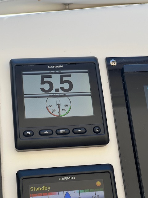

Beth


Beth

Blog

Week 7, Part III – March 18-24, 2024 – Everglades National Park (Little Shark River, Monroe County, FL) to Marathon, FL

Highlights this week: 1) Spending 3 nights anchored at two different locations in the Everglades National Park – a World Heritage Site; 2) exploring Indian Key Historic State Park – am 11-acre uninhabited island; 3) getting out our snorkeling gear for the first time; and, 4) enjoying time with friends from home.

Monday, March 18, 2024 – Everglades National Park, anchorage in the Little Shark River to an a mooring near Lignumvitae Key Botanical State Park (near Islamorada, FL)

Today, we were underway 7 hours and 35 minutes, going 57 miles (49.8 nm), at an average speed of 7.6 MPH (6.6 knots). We enjoyed the unique experience of anchoring in the Everglades National Park for the last 3 days; however, the no-see-ums a/k/a biting midges did a great job from keeping us from exploring this remote area in the dinghy. I’m not sure how these tiny insects can bite so hard and leave such a big red welt! They did keep us confined inside HOMES, with no-see-um screens in every window and door, or in our no-see-um screened tent. Actually, it is good that these tiny insects are protecting this important habitat from humans. There are numerous rare and endangered species like the manatee, American crocodile and the Florida panther.
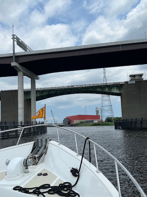
Tim sacrificed himself and went out to unhook the snubber on the anchor line and hose the mud off the snubber rope. The no-see-ums attacked what little of his face was exposed. I was similarly bundled up so that I could brush them off his clothes before coming back inside. Luckily, the anchor chain and the anchor itself came up clean, so we didn’t have to go back outside. The sights and sounds of the Everglades were still worth the pain. On our cruise out of Little Shark River, Tim saw a bull shark jump up out of the water and we briefly saw a manatee. I guess it’s good that the no-see-ums are protecting this wildlife from invading humans.

The Gulf of Mexico was gentle today. Once we turned to head toward Florida Bay, the water fell from a depth of 14-16 to 6-8 foot. There were two areas where the water depth was 5 foot, but it was well marked on the charts. HOMES got through these two area with about 8 inches under her bottom.

The reason to navigate this shallow water was to get to Lignumvitae Key where the shallow water will allow us to swim and snorkel for the first time on our trip. There are 5 mooring balls around Lignumvitae Key. This was our first time attempting a mooring ball. We were happy to see only one boat in the mooring field. Since these moorings are free, no one monitors them to say how many are open. We spotted a ball that wasn’t too close to the other boat or to any crab pots. Tim slowly cruised up beside the mooring ball – a big white ball with a long rope floating on the surface with a loop at the end. I hung off the bow with a dock pole and hooked the loop with my dock pole and quickly threaded our bowline through the loop…we looked very professional for our first time…however, our luck ran out. I had the bowline over the rail instead of under and when Tim tried to fix it, the rope came off the mooring line. 😖 About 4 more attempts and maybe 20 minutes later, we were hooked. It probably would have made a funny video, but it was our first time attempting a mooring ball. The effort was worth it! We stayed at this mooring until Thursday morning.
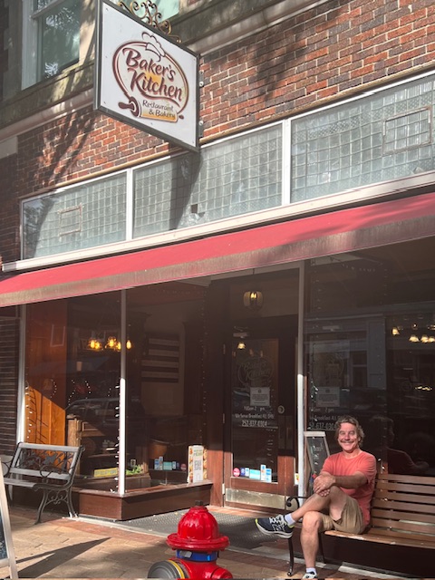
On Tuesday afternoon, we took off in the dinghy to explore. Unfortunately, Lignumvitae Key Botanical State Park, which we are moored next to, is closed until Thursday. However, we got to explore Indian Key Historic State Park -an 11-acre uninhabited island, only accessible by boat. The boat dock had a sign saying not to use it because of storm damage, so we paddled the dinghy to the kayak landing, to protect the sea grass.

We hiked the island, looking at the remnants of a town from the 1830s. In 1831, Jacob Houseman used the island for his wrecked-ship salvage business. He even had Indian Key established as the first county seat for Dade County. His shady business practices ended his business and in 1838, Dr. Henry Perrine, a physician, moved his family here to await the end of the Second Seminole War, but on August 7, 1840, the Native Americans attacked the island. Most of the structures were burned to the ground, but most of the residents escaped. Perrine was killed. Being the only visitors on the island made it a very cool experience. We took an envelope to mail in our $5.00 entrance fee.

On our way back to HOMES, we came across a fun looking restaurant called Robbie’s of Islamorada. We tied up at the dinghy dock, which was right next to the tarpon feeding tanks. For a fee, enthusiastic tourists were holding fish over the tanks and huge tarpons came jumping up out of the water and grabbed the fish. Despite the screaming and uproar of the spectators, the pelicans were everywhere, hoping for some food. As we sat down to eat on the waterfront patio, we notice that five pelicans were sitting on our dinghy. We watched as pelicans flew on and off our dinghy, thinking how cute, until we got back and saw what a mess they had made!

On Wednesday, we went snorkeling for the first time. We bought snorkels, fins and masks in Fort Lauderdale when we first bought the boat, in 2022. This was our first opportunity to try them out. We took the dinghy to a shallow reef where we saw other snorkelers yesterday. Then, we snorkeled around HOMES for a while. We didn’t see anything too interesting, but the water was nice!

Thursday, March 21, 2024 – Mooring near Lignumvitae Key Botanical State Park (near Islamorada, FL) to Marathon, FL

Today, we were underway 4 hours and 22 minutes, going 30 miles (26.3 nm), at an average speed on 8 MPH (6.8 knots). We were on our way within minutes, since it is much easier unhooking from a mooring ball than pulling up the anchor. We retraced our electronic track back through the narrow channel, so it seemed less stressful this time.

It would have been nice to have visited Lignumvitae Key Botanical State Park, but it was closed during our whole stay. It opened this morning at 9:00 AM, but we had to get moving early to beat the winds that would be increasing steadily throughout the day.

Knowing that strong winds and heavy rains are heading our way, we made reservations at Marlin Bay Resort and Marina in Marathon, FL for the next four days.

By the time we got to the marina, the wind was blowing about 13 MPH and the entrance of the marina was not large and was on an angle. Tim couldn’t get up too much speed, so he gave a burst of the port thruster to maneuver us through the entrance. The person on the radio had told us that we’d have a starboard tie; however, when I spotted the three marina employees, they were on the port-side dock. I quickly readied the lines on the port side. Tim back HOMES into the slip with ease; I handed off the mid-ship spring line and the stern line and then ran to the bow. Tim thrusted the bow to the port and then to the starboard so that I could wrap the bow lines around the pilings and cleat them off. I have to say that we looked like experts! I guess that makes up for the ugly mooring job that we did three days ago. 😁

The marina community here is very friendly. Two of our neighbors are from Ohio – Cincinnati and Sandusky – both are now living on their boats full time and no longer have “dirt” homes. A couple who own a 56’ DeFever, similar to ours, came by and we gave them a tour of HOMES, in return for a tour of their boat. A brand new Looper couple stopped by and we gave them a tour of HOMES and shared some of our stories. Our friends on Brand New Day are here too, but we haven’t seen them on their boat yet. Other than a quick radio chat as we passed in opposite directions on our way to Punta Gorda, we haven’t seen them since Iuka, MS when we toured the Civil War battlefield at Shilo.

At the suggestion of the other boaters, we headed over to Keys Fisheries for a drink. It is a unique walk-up window restaurant on the fish dock – you can’t get fresher than that! However, we just had a drink at their bar and watched the activity on the dock. A nice way to wind down our day.

Friday-Sunday, March 22 – 24th – Layover days in Marathon, FL

On Friday, it was just windy, with only a few sprinkles, so we opted to walk into Marathon to explore. The city of Marathon, incorporated in 1999, encompasses 13 keys – Boot Key, Knight Keys, Hog Key, Vaca Key, Stirrup Key, Crawl and Little Crawl Key, East and West Sister’s Island, Deer Key and Fat Deer Key, Long Pine Key and Grassy Key. Marathon is the heart of the Florida Keys – halfway between Key Largo and Key West.

The name “Marathon” came about by Henry Flagler’s railroad workers in the early 1900s, who were working night and day to build a railway between the keys, establish three railway stations and a post office. By 1908, the area was no longer known by the individual names of the keys, but had assumed the name of its railway station – Marathon. Once the railroad was completed to Key West in 1912, the town of Marathon faded into near obscurity. WWII brought an airport and other infrastructure to Marathon and the population has been steadily growing since the 1950s.

We walked about a mile from the marina on the noisy, 4-lane US Rt. 1 and entered the peace and quiet of Crane Point Hammock. It is a 63-acre tract of land acquired by the Florida Keys Land and Sea Trust in 1988 to preserve this last intact thatch palm hammock in North America. It is a sensitive ecological site with numerous endangered plants and animals. The property has evidence of the pre-Colombian Indian artifacts; an intact house built in 1904 and a 1950s house lived in by the last owners of the property. We hiked the Hammock Trails, walking on the uneven coral trails, enjoying the lush tropical plants, birds, and even the insects!

On Saturday, March 23rd, we awoke to a windy and rainy morning, with a tornado warning until noon. We walked up to the marina office and added 2 more days to our stay. The rain will end this evening, but the wind and resulting waves are too much for us to travel until Wednesday. Since the forecast is calling for windy conditions through next Friday, with the exception of Wednesday, we’ve decided to skip taking the boat to Key West and start are journey north on Wednesday morning.

Later in the morning, we got a text from our friends from home, Mike, Jen, Evie and Annie Plahovinsak. They picked us up in front of the marina and we went to lunch at Porkey’s Bayside Restaurant. We then came back and gave them a tour of HOMES. They are staying at a resort a mile away from us.

This morning, Sunday, March 24th, the Plahovinsaks picked us up for a morning on Sombrero Beach. We did a little snorkeling, found a few shells and played in the sand. The Marathon Turtle Hospital was there releasing a sea turtle back into the wild. We got there just as he was swimming away.

After a quick run through at Publix Grocery Store, the Plahovinsaks dropped us off at the boat. We had a few chores to do before meeting back up with them later this evening. The big chore was changing over our anchors. Our big, shinny Spade anchor, which was brand new when we bought HOMES, had a weld break, from a faulty weld. The anchor has a life-time warranty, but we were told by Spade that it is only for the person who purchased it. We don’t have the receipt, but we have the brokerage listing stating that the Spade anchor was purchased in 2021. We don’t think the previous owners ever used it. We’re waiting to see what Spade will do about it. At $3,000+ for the anchor, we hope they will do the right thing. If not, our old anchor will do just fine. We’ll be anchoring on Wednesday-Friday nights in windy conditions, so we need to know the anchor won’t break.

Tomorrow, we’re going to Key West with the Plahovinsak’s. Fortunately, we found two rooms at The Saint Hotel. I’ve never been to Key West, so I’m looking forward to it! The wind this week will not allow us to take HOMES to Key West, but at least Tim and I will make it there!

On Wednesday, we’ll head north toward Delray Beach!! We should be Gold Loopers on Saturday!!! See you next Sunday!


Beth